- Marzanabad
-
Marzanabad
مرزن آباد— city — 
 Marzanabad
Coordinates: 36°27′11″N 51°18′02″E / 36.45306°N 51.30056°ECoordinates: 36°27′11″N 51°18′02″E / 36.45306°N 51.30056°E Country  Iran
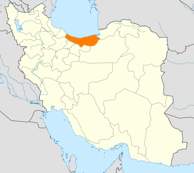
IranProvince Mazandaran County Chalus Bakhsh Kelardasht Population (2006) – Total 5,078 Time zone IRST (UTC+3:30) – Summer (DST) IRDT (UTC+4:30) Marzanabad (Persian: مرزن آباد, also Romanized as Marzanābād, Marzūnābād,and Murzānābād)[1] is a city in Kelardasht District, in Chalus County, Mazandaran Province, Iran. At the 2006 census, its population was 5,078, in 1,335 families.[2]
Marzanabad is the closest green city of Mazandaran province to Tehran while passing through the beautiful road of Tehran-Chalus. Note that Tehran-Chalus road is one of three major roads that connect Tehran to Mazandaran province and it is the shortest path towards Caspian Sea from Tehran.
Marzanabad is located on a T-junction of the roads towards Tehran, Chalus and Kelardasht. It is about 25 km away from both Chalous and Kelardasht while it is about 170 km away from Tehran via Tehran-Chalus road. It worths to mention that after completing Tehran-Chalous highway first phase (Tehran-Shahrestanak phase), the distance will be reduced to 110 km. Due to the strategic location of the city, it attracts thousands of tourists each year from almost all parts of Iran, but especially from Tehran.
References
- ^ Marzanabad can be found at GEOnet Names Server, at this link, by opening the Advanced Search box, entering "-3074212" in the "Unique Feature Id" form, and clicking on "Search Database".
- ^ "Census of the Islamic Republic of Iran, 1385 (2006)" (Excel). Islamic Republic of Iran. http://www.amar.org.ir/DesktopModules/FTPManager/upload/upload2360/newjkh/newjkh/02.xls.
 Mazandaran Province
Capital 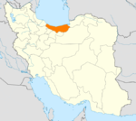
Counties and Cities Fereydunkenar CountyFereydunkenarGalugah CountyGalugahJuybar · Kuhi KheylMahmudabad · SorkhrudSurakQaem Shahr CountyQaem Shahr · KiakolaRamsar · Ketalem and Sadat ShahrSights Aab pari · Alasht · Babolsar · Badab-e Surt natural site · Dasht-e Naz national Park Sari · Larijan spa · Ghermerez spa · Qa'em Shahr's Imamzadeh kati · Sisangan national Park, Nowshahr · Challdareh national Park, Tonekabon · Veresk Bridge · Mohammad Hassan Khan Qajar's Bridge · Namakabrood's aerial tramway · Javaherdeh · Nima Yooshij's house in Yoush · Khestpol Bridge in Qa'em Shahr · Valasht lake, Kelardasht · Saadatmahaleh, Sari · Avidar lake Nowshahr · Lar Dam · Alam-Kuh · Palaeolithic caves of Kamarband’, and Hotu , Sari · Waterfall and Malekbahman castle of Shahandasht · Galehgardan, Tonekabon · Palace of Ramsar · Safavid gardens of Behshahr · Babol museum · Khoshedaran Museum of natural history, Fereydoon Kenar · Kandelus museum,near Chaloos · Sari's clock square · Rahband · Ramsar's old hotel ·Categories:- Chalus County
- Cities in Iran
- Cities in Mazandaran Province
- Mazandaran geography stubs

Wikimedia Foundation. 2010.