- U.S. Route 101 in Oregon
-
This article is about the section of U.S. Route 101 in Oregon. For the entire length of the highway, see U.S. Route 101.
U.S. Route 101

Route information Maintained by Oregon DOT Major junctions South end:  US 101 at California state line
 US 20 in Newport
 US 26 near Cannon Beach
 US 30 in Astoria
North end:  US 101 at Washington state line
Highway system United States Numbered Highways
List • Bannered • Divided • ReplacedOregon highways
Routes • Highways←  OR 99W
OR 103  →
→ U.S. Route 101 along the Oregon coast
In the U.S. state of Oregon, U.S. Route 101, a major north–south U.S. Highway, runs through the state along the coastline near the Pacific Ocean. In Oregon, it runs from the Oregon–California border, south of Brookings, to the Oregon–Washington border on the Columbia River, between Astoria, Oregon and Megler, Washington.
U.S. 101 is known in Oregon as the Oregon Coast Highway No. 9 (see Oregon highways and routes), as it serves the Oregon Coast region. Much of the highway runs between the Pacific Ocean and the Oregon Coast Range, thus U.S. 101 is frequently mountainous in character. For most of its length it is a 2-lane undivided highway. Many parts of the highway are subject to closure due to landslides caused by excessive rainfall, and in many parts of the coast, U.S. 101 is the only viable route connecting certain coastal communities. Thus, in many cases when landslides block U.S. 101, the detour requires traveling inland to Interstate 5 and then back again.
U.S. 101 is often the main street through many coastal towns in Oregon, which can cause significant traffic delays. This is especially true in Lincoln City, owing to a combination of geography and the fact that the city is a particularly popular tourist destination.
Contents
Route description
Brookings to Coos Bay
The run of U.S. 101 in Oregon (running from south to north) starts at the border between Oregon and California, south of the twin cities of Brookings and Harbor (and north of Crescent City, California). The highway is mostly a two-lane road, running along the Southern Oregon coastline. Access to this section (other than 101) is via US Route 199 or OR Route 42 through the Kalmiopsis Wilderness, just east of the highway. Access is also possible through National Forest Route 23 (NF-23 - Bear Camp) but that route is not maintained through the winter months.[1][2]
Other coastal towns in this stretch of U.S. 101 include Pistol River, Gold Beach, Wedderburn, and Port Orford. North of Port Orford is the Cape Blanco region, and the westernmost point in the U.S. Highway system. After passing through Sixes, Denmark, and Langlois, U.S. 101 enters the resort town of Bandon on the mouth of the Coquille River.
The stretch of U.S. 101 between Brookings and Gold Beach includes the highest bridge in Oregon, the Thomas Creek Bridge. With its roadbed at 345 feet above Thomas Creek, is the 15th highest bridge in the U.S.
North of Bandon, U.S. 101 heads inland for a while, while a spur route provides access to the Charleston Peninsula. Approaching the city of Coos Bay, U.S. 101 becomes an expressway after an interchange with Oregon Route 42, then soon enters the downtown core. It continues through Coos Bay (the city) along the western edge of Coos Bay (the bay), soon entering the city of North Bend. North of North Bend, it crosses over the mouth of the bay on the Conde McCullough Memorial Bridge, followed by a second bridge over Haynes Inlet.
Coos Bay to Lincoln City
 101 near Yachats
North of Coos Bay, the highway runs along the eastern flank of the Oregon Dunes National Recreation Area, through the communities of Hauser, Lakeside, and Winchester Bay before coming into the city of Reedsport on the mouth of the Umpqua River. The highway continues north from there, passing through the dunes and through the towns of Gardiner, Westlake, Dunes City, and Glenada. The next major town is Florence on the Siuslaw River.
The next stretch of U.S. 101 (between Florence and Newport) closely follows the coastline, providing a wide view of the ocean. Towns between these two cities include Yachats, Waldport, and Seal Rock. Eventually, the highway crosses the Yaquina Bay Bridge into Newport. Just before the bridge lies the Oregon Coast Aquarium; on the other side of the bridge is the famed Newport waterfront.
The next stretch of 101, between Newport and Lincoln City, is rather mountainous, as the Coast Range protrudes into the ocean. Cities on the route include Depoe Bay, Otter Rock (accessible via a side road), and the Gleneden Beach/Salishan area, famed for its resorts. Near Siletz Bay is the abandoned community of Kernville, followed by Lincoln City.
Lincoln City to Astoria
The stretch of U.S. 101 through Lincoln City is infamous for its clogged traffic; the city is over seven miles (11 km) long (but only a few blocks wide in spots), and is sandwiched between the ocean on the west, and Devils Lake and mountains to the east. In many parts of town, the highway is a two-lane road. Adding to the traffic is a casino in the northern part of town. Much of the traffic departs U.S. 101 north of Lincoln City, at an interchange with Oregon Route 18.
North of Lincoln City is the town of Neskowin and the Nestucca Bay area. A side road, the Three Capes Scenic Route, provides access to the seaside towns of Pacific City and Sandlake, then goes over Cape Lookout and on to Netarts, Oceanside and Cape Meares before meeting 101 again at Tillamook. 101 instead heads inland, passing through the towns of Cloverdale, Hebo, Beaver and Hemlock. The next major town is the city of Tillamook.
North of Tillamook, the highway passes on the eastern shore of Tillamook Bay, through towns such as Bay City and Garibaldi, before reuniting with the ocean. It then continues north along the Pacific through towns such as Rockaway Beach and Manhattan Beach; the next major towns are Nehalem and Manzanita, both on Nehalem Bay. The highway then continues north along the coastline through rugged terrain until it reaches the city of Cannon Beach. Unlike most coastal cities in Oregon, a bypass (in two-lane freeway configuration) was built around Cannon Beach; U.S. 101 follows the bypass alignment. A few miles north of Cannon Beach is an interchange with U.S. Route 26, followed by the city of Seaside. (Until recently, U.S. 26 continued north towards Astoria, sharing an alignment with U.S. 101; however ODOT truncated U.S. 26 to its current terminus at the interchange with 101 several years ago.)
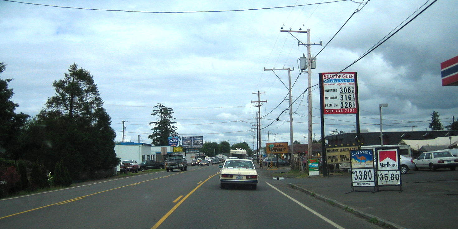
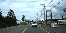 US 101 through downtown Seaside
North of Seaside, U.S. 101 follows the coastal plain through cities such as Gearhart; a spur route (Oregon Route 104) provides access to Fort Stevens State Park. U.S. 101 soon enters the city of Warrenton, Oregon (where Business 101, which is more of a scenic route, providing access to the Astoria-Warrenton Airport, Fort Clatsop, and Miles Crossing) and then crosses Youngs Bay into Astoria, Oregon. 101 passes through the northwestern edge of Astoria, until an intersection with U.S. Route 30. At this intersection, 101 climbs a 360-degree access road onto the Astoria-Megler Bridge over the Columbia River, and crosses into the state of Washington.
Major intersections
- Note: mileposts do not reflect actual mileage because of realignments.
County Location Milepoint[3] Destinations Notes Curry 363.11 California state line Brookings 354.83 Carpenterville Highway (OR 255 north) 339.71 Pistol River, Carpenterville South end of OR 255 overlap 337.97 Pistol River Road (OR 255 north) North end of OR 255 overlap 334.87 Myers Creek Road (OR 255 south) Port Orford 300.99 9th Street (OR 251) – Port Orford Heads State Park 296.48 Cape Blanco State Park (OR 250) Coos Bandon 261.57  OR 42S east – Coquille, Myrtle Point, Roseburg
244.31  OR 42 – Coquille, Roseburg
Interchange Bunker Hill 239.51 Coos River, Allegany (OR 241) Coos Bay 238.32 Coos Bay City Center, Charleston, Sunset Bay State Park, Shore Acres State Park, Cape Arago State Park Former Empire-Coos Bay Highway North Bend 235.42 North Bend City Center, Southwest Oregon Regional Airport, Charleston, Sunset Bay State Park, Shore Acres State Park, Cape Arago State Park (OR 540) Douglas Reedsport 211.58  OR 38 east – Reedsport, Drain, Eugene, Roseburg
Lane Florence 190.23  OR 126 east – Mapleton, Eugene
Lincoln Waldport 155.90  OR 34 – Alsea, Corvallis
Newport 140.36 US 20 east – Toledo, Corvallis132.45 Otter Rock, Devils Punch Bowl State Park (OR 182) 120.02  OR 229 south – Kernville, Siletz River
Otis Junction 105.09  OR 18 east – McMinnville, Salem, Portland
Interchange Tillamook 91.37 Little Nestucca River (OR 130) Hebo 84.94  OR 22 east – Valley Junction, McMinnville
Tillamook 65.77 
 OR 131 / OR 6 east – Netarts, Oceanside, Cape Lookout State Park, Forest Grove, Portland
Nehalem Junction 46.50  OR 53 – Mohler, Portland
Cannon Beach 30.62 Tolovana Park Interchange 29.53 Sunset Boulevard – Cannon Beach City Center, Ecola State Park Interchange 28.37 Cannon Beach City Center, Ecola State Park Interchange; no northbound exit Clatsop Cannon Beach Junction 25.27 US 26 – PortlandInterchange 9.48 Columbia Beach Road (OR 104) – Warrenton, Hammond, Fort Stevens State Park Warrenton 7.53 


US 101 Bus. north – Lewis & Clark National Park Fort Clatsop Visitor CenterNorthbound entrance and exit 7.53 Alternate Highway 101 (OR 104S) 7.07 Marlin Avenue (Warrenton-Astoria Highway) – Warrenton, U.S. Coast Guard Air Station Astoria, Lewis & Clark National Park 6.57 Harbor Drive (Warrenton-Astoria Highway) – Warrenton, Hammond, Fort Stevens State Park 4.91 Youngs Bay Bridge over Youngs Bay Astoria 4.32 
 US 101 Bus. south / OR 202 east – Clatsop County Fairgrounds, Jewell
3.80 US 30 east – Astoria City Center0.00 Astoria – Megler Bridge over Columbia River
Washington state lineRelated route

U.S. Route 101 Business
Location: Astoria–Warrenton Length: 7.25 mi (11.67 km) U.S. Route 101 Business, travels from Astoria to Warrenton, west of the primary U.S. 101.
See also
References
- ^ "Bear Camp Road - Missing Family December 4, 2006". http://news.cnet.com. http://news.cnet.com/2300-1028_3-6140554.html. Retrieved 2010-05-13.
- ^ "Warning about NF-23". http://www.visitoregonsouthcoast.com. http://www.visitoregonsouthcoast.com/pages/Getting%20Here. Retrieved 2010-05-13.
- ^ Oregon Department of Transportation, Public Road Inventory (primarily the Digital Video Log), accessed March 2008
External links
U.S. Route 101Previous state:
CaliforniaOregon Next state:
WashingtonCategories:- U.S. Highways in Oregon
- U.S. Route 101
- Oregon Coast
- Scenic highways in Oregon
- Transportation in Tillamook County, Oregon
- Transportation in Lane County, Oregon
- Transportation in Clatsop County, Oregon
- Transportation in Coos County, Oregon
- Transportation in Curry County, Oregon
- Transportation in Douglas County, Oregon
- Transportation in Lincoln County, Oregon


Wikimedia Foundation. 2010.