- Northumberland County, New Brunswick
-
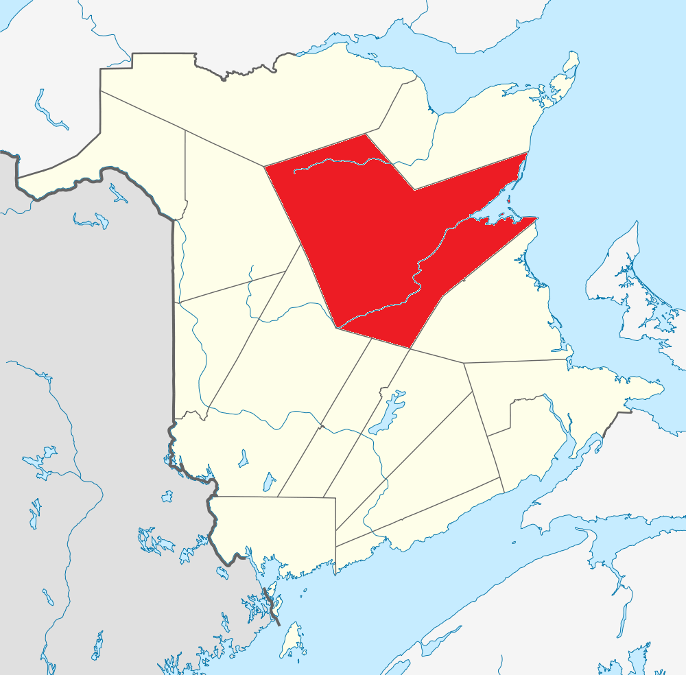
Northumberland — County — Location of Northumberland County, New Brunswick
Country  Canada
Province  New Brunswick
Established 1785 Area[1] - Land 12,112.45 km2 (4,676.6 sq mi) Population (2006)[1][2] - Total 48,868 - Density 4.0/km2 (10.4/sq mi) - Change 2001-06  3.8%
3.8%Time zone AST (UTC-4) - Summer (DST) ADT (UTC-3) Area code(s) 506 Dwellings 21,115 Median Income* $40,166 *Median household income, 2005 (all households) Northumberland County (2006 population 48,868), having the largest area of any county in the province, is located in northeastern New Brunswick, Canada.[3]
Contents
Geography
Northumberland County is covered by thick forests, whose products stimulate the economy. The highest peaks in the province, including Mount Carleton lie in the northwestern corner of the county.
The county is dominated by the Miramichi River, world famous for its salmon fishing. The lower portion of the river is an estuary which widens into Miramichi Bay, a part of the Gulf of St. Lawrence.
Services
The city of Miramichi is a local service centre for the county and surrounding regions with schools, hospitals and government offices and retail locations. The county has several saw mills in the city of Miramichi and up the Southwest Branch of the Miramichi River. There were formerly two large pulp and paper mills at Miramichi.
Chatham was also home to an air force base, CFB Chatham, until 1996. Renous, located along the Southwest Miramichi was also home to an army post - a federal maximum security penitentiary is now located on the site.
Census subdivisions
Communities
There are five incorporated municipalities within the county (listed by 2006 population counts and national census rankings):[1][2]
Official Name Status Area km2 Population Census Ranking Miramichi City 179.84 18,129 213 of 5,008 Neguac Village 26.69 1,623 1,518 of 5,008 Rogersville Village 7.23 1,165 1,866 of 5,008 Blackville Village 21.73 931 2,149 of 5,008 Doaktown Village 28.74 888 2,224 of 5,008 Parishes
The county is subdivided into thirteen parishes (listed by 2006 population counts and national census rankings):[1][2]
Official Name Status Area km2 Population Census Ranking Alnwick Parish 734.57 6,152 585 of 5,008 Hardwicke Parish 278.60 2,484 1,143 of 5,008 Northesk Parish 3,352.99 2,480 1,145 of 5,008 Blackville Parish 823.40 2,347 1,195 of 5,008 Southesk Parish 2,459.43 1,964 1,326 of 5,008 Glenelg Parish 504.80 1,652 1,497 of 5,008 Ludlow Parish 1,016.66 1,568 1,557 of 5,008 Rogersville Parish 326.36 1,247 1,788 of 5,008 Newcastle Parish 577.47 1,209 1,820 of 5,008 Derby Parish 61.02 1,068 1,967 of 5,008 Nelson Parish 353.80 814 2,340 of 5,008 Blissfield Parish 1,240.26 560 2,862 of 5,008 Chatham Parish 22.26 502 3,009 of 5,008 First Nations
There is one First Nations reservation in Northumberland County (listed by 2006 population counts and national census rankings):[1][2]
Official Name Status Area km2 Population Census Ranking Burnt Church 14 Reservation 9.54 1,120 1,907 of 5,008 Eel Ground 2 Reservation 10.90 503 3,007 of 5,008 Red Bank 4 Reservation 16.18 383 3,374 of 5,008 Big Hole Tract 8 (South) Reservation 27.82 69 4,572 of 5,008 Tabusintac 9 Reservation 22.00 10 4,889 of 5,008 Red Bank 7 Reservation 10.16 n/a 5,008 of 5,008 Three communities in the county are part of the Mi'kmaq Nation: Metepenagiag Mi'kmaq Nation, at the junction of the Northwest Miramichi River and the Little Southwest Miramichi River; Eel Ground First Nation, close to the junction of the Northwest and Southwest Miramichi Rivers near Newcastle; and Burnt Church First Nation on the northern shore of Miramichi Bay.
Demographics
The county is a mostly English speaking region in the otherwise Francophone northeastern New Brunswick. Coastal regions of Miramichi Bay are Acadian. The former town of Chatham has traditionally been an Irish stronghold, while its sister town of Newcastle has had a more English and Scottish Protestant flavour. Both are now amalgamated into the new city of Miramichi.
Population trend[4]
Census Population Change (%) 2006 48,868 3.8%2001 50,817 2.6%1996 52,153 1.6%1991 52,983 N/A Mother tongue language (2006)[1]
Language Population Pct (%) English only 33,775 70.09% French only 12,670 26.29% Other languages 1,515 3.14% Both English and French 225 0.47% See also
References
- ^ a b c d e f 2006 Statistics Canada Community Profile: Northumberland County, New Brunswick
- ^ a b c d Statistics Canada Population and dwelling counts, for Canada and census subdivisions (municipalities), 2006 and 2001 censuses - 100% data
- ^ New Brunswick Provincial Archives - Northumberland County
- ^ Statistics Canada: 1996, 2001, 2006 census
External links

Restigouche County Gloucester County Victoria County 
Gulf of Saint Lawrence  Northumberland County

York County Sunbury County / Queens County Kent County Subdivisions of New Brunswick Subdivisions Cities Counties Albert · Carleton · Charlotte · Gloucester · Kent · Kings · Madawaska · Northumberland · Queens · Restigouche · Saint John · Sunbury · Victoria · Westmorland · York Category:New Brunswick ·
  Portal:New Brunswick ·
  WikiProject:New Brunswick
Wikimedia Foundation. 2010.