- Culgoa, Victoria
-
Culgoa
Victoria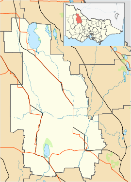
 Culgoa
Population: 101[1] Postcode: 3530 Coordinates: 35°43′S 143°05′E / 35.717°S 143.083°ECoordinates: 35°43′S 143°05′E / 35.717°S 143.083°E Location: LGA: Shire of Buloke Culgoa is a locality in Victoria, Australia, located approximately 43 km from Wycheproof, Victoria. At the 2006 census, Culgoa had a population of 101.[1]
Primary production in the area is predominantly wheat and barley, with some legume and oil crops. Sheep numbers have been down since the drought took hold in the early 2000s.
The Post Office opened on 27 May 1893 as Kaneira shortly after the arrival of the railway and was renamed Culgoa in 1920. [3]In 2006 the post office was relocated to the Culgoa Community Store which is a community owned not for profit business to meet the daily needs of the locals. In 2003 when it looked like the local store would close the community formed a co-operative and purchased the store to run for themselves. The store provides newspapers, bread, milk, groceries and some takeaway. Computer access is also available to the community. Golfers may play at the Culgoa Golf Club on the Calder Highway. [4] Other sporting venues include tennis, lawn bowls, netball and football.
In 2008 the local Primary School closed its doors after 98 years of service to the children of the area.
References
- ^ a b Australian Bureau of Statistics (25 October 2007). "Culgoa (State Suburb)". 2006 Census QuickStats. http://www.censusdata.abs.gov.au/ABSNavigation/prenav/LocationSearch?collection=Census&period=2006&areacode=SSC25425&producttype=QuickStats&breadcrumb=PL&action=401. Retrieved 19 April 2010.
- ^ Travelmate
- ^ Premier Postal History, Post Office List, https://www.premierpostal.com/cgi-bin/wsProd.sh/Viewpocdwrapper.p?SortBy=VIC&country=, retrieved 2008-04-11
- ^ Golf Select, Culgoa, http://www.golfselect.com.au/armchair/courseView.aspx?course_id=959, retrieved 2009-05-11
Towns in the Shire of Buloke Berriwillock · Bimbourie · Birchip · Boigbeat · Charlton · Culgoa · Donald · Dumosa · Glenloth · Glenloth East · Kalpienung · Lake Tyrrell · Nandaly · Ninda · Nullawil · Nyarrin · Sea Lake · Springfield · Watchem · Wycheproof ·
Categories:- Towns in Victoria (Australia)
- Victoria (Australia) geography stubs

Wikimedia Foundation. 2010.