- The Mallee
-
 An outline of the Mallee and Sunraysia regions
The Mallee is the most northwesterly district in the state of Victoria, and also encompasses the agricultural district of South Australia. Definitions vary, however all are based on the Victorian distribution of mallee eucalypts. These trees dominate the surviving vegetation through most of Mallee, except for swamps and areas along waterways, and the very rare stands of intact Casuarina.
The Australian Standard Geographical Classification region of Victoria's Mallee covers Rural City of Mildura, Rural City of Swan Hill, the Shire of Gannawarra and the Shire of Buloke.[1] This is the classification used by the Australian Bureau of Statistics.[2]
Another common and generally identical definition to this one is that the Mallee is the part of Victoria dependent on Mildura and Swan Hill.
The Division of Mallee in the House of Representatives of the Parliament of Australia covers both the Mallee and the Wimmera.
The Government of the State of Victoria has historically had many departmental regions combining the Mallee with the greater Bendigo area, the current one being named the "Loddon Mallee". This region includes the Loddon River catchment and adjacent areas as well as the Mallee.[3] This region is used by all state government departments, and often there is a central body for the region located in Bendigo. Some locals wish there to be a separate "Mallee" departmental region, as this would mean more services would be delivered there.[4]
The Government of Victoria's Department of Innovation, Industry and Regional Development has a promotional region known as "Wimmera Mallee". This region is made up of the Wimmera and very small parts of the Mallee that are distant from the Murray River. A separate region known as "Mildura Swan Hill" covers the rural cities of Mildura and Swan Hill.[5]
The Government of Victoria also has a Mallee Catchment Management Region.[6]
Contents
Geography and climate
The Mallee is, for all practical purposes, completely flat and very low-lying: in fact for long geological periods the whole region has been inundated by the ocean. Most of the Mallee consists of sand dunes that have been deposited as a result of movement of sand from the interior of Australia during arid glacial periods of the Quaternary. The soils are generally very infertile and sandy: the better ones on more stabilised sand dunes in the east are slightly loamy and pink to light brown and have been able to support wheat and barley growing as a result of the development of superphosphate and other fertilisers. In the west the soils are unconsolidated sands, much less alkaline than in the east, and not generally able to support any grain cropping.
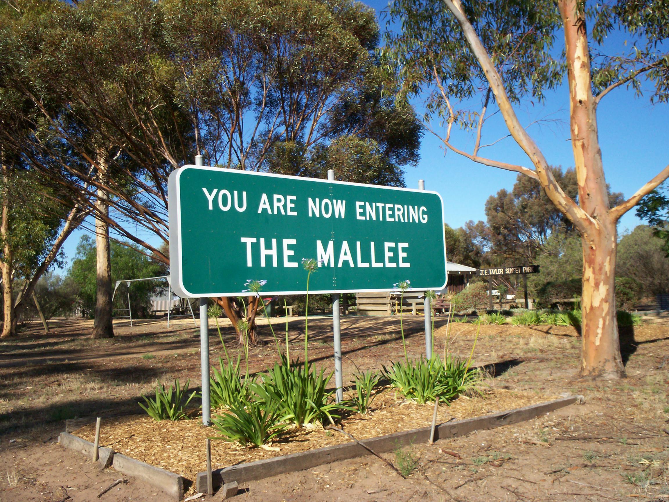
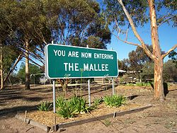 Entering The Mallee, along the Sunraysia Highway.
The Mallee has no surface drainage: the native vegetation has so high a rooting density that the rainfall of most years is easily absorbed and the porous sandy soils mean that any excess in an exceptionally wet year will recharge groundwater supplies which tend to be highly saline. Flow from the Wimmera River to the south supplies Lake Hindmarsh and, very occasionally (in 1918, 1956 and 1975), overflows to the north. The Murray River is, thus, the only source of fresh water for the region and is consequently overburdened by intensive irrigation.
The climate of the Mallee is the hottest and driest in Victoria owing to its inland location. Rainfall is usually only produced by the most vigorous frontal systems or by occasional penetration of tropical air in the summer. Average annual rainfall shows a well-defined north-south gradient: Mildura averages only 270 millimetres (under 11 inches) per year but Hopetoun in the south receives around 370 millimetres (just under 15 inches). Variability, however, is quite high: in 1973 the Mallee averaged as much as 650 millimetres (over 25 inches) but in 1982 only 115 millimetres (4.5 inches). Temperatures in summer are generally very hot: in January 1906 it is believed Mildura reached temperatures as high as 50.8°C (123.4°F) and the average maxima in January and February are around 32°C (90°). In the winter, maximum temperatures average 16°C (60°F), but minima average 4°C (39°F) and frosts are very common.
Population and economy
The Mallee has a total population of 93,415 (est. 2006),[7] most of which live close to the Murray River in the region's two cities: Mildura and Swan Hill. These and other settlements within the municipalities based on these centres contain over two-thirds of the region's population. Hopetoun, Ouyen and Birchip are the major towns in the south.
The Mallee is a primarily agricultural region: apart from possible mineral sands in the wheat and salt from certain ephemeral lakes there are no mineral deposits of value and industry is generally on a small scale and confined to food processing. Wheat and barley are widely grown on the less infertile soils in the southeast of the region, but fertilizers, especially superphosphate are essential for success and yields only a quarter of those in most of Europe or North America - in drought years, they can be as little as one twentieth of European wheat yields.
Fruit growing along the Murray River has in modern times overshadowed grain crops as the Mallee's major source of revenue. Oranges and grapes are particularly important and the region produces a large part of Victoria's wine though most of it is inexpensive cask wines. Dairying on irrigated pastures is important in the south of the region, but is threatened by its high water demand and the extreme scarcity of water in the Murray-Darling Basin.
Tourism is also significant industry. Mildura and Swan Hill contain a number of tourism focused businesses, including a number of specially built attractions and festivals. The Murray itself is also a major attraction, many people coming to the district for fishing and to stay on houseboats. The many Mallee national parks - Wyperfeld, Hattah-Kulkyne and Murray Sunset National Parks, wilderness parks, state forests, and other parks over the river are also major drawcards.
Malleefowl
Main article: Mallee FowlRestricted to the Mallee area of Victoria, Mallee Fowl are a large, ground-dwelling bird that roost in trees and need sizeable blocks of scrub to survive.
See also
References
- ^ Australian Standard Geographical Classification (ASGC), 2001 (see Mallee)
- ^ Australian Bureau of Statistics (ABS), 2007 (see Mallee)
- ^ Loddon Mallee Region
- ^ Push continues for separate north-west region (2005 Report)
- ^ DIRD - Regions-Mildura Swan Hill
- ^ http://www.dse.vic.gov.au/CA256F310024B628/0/41B9DFE5C8AC77ADCA2571170015A462/$File/Impacts+of+future+population+growth.pdf
- ^ Australian Bureau of Statistics (ABS), 2007 (see Mallee)
Categories:- Regions of Victoria (Australia)
- Mallee (Victoria)

Wikimedia Foundation. 2010.