- Benbecula
-
This article is about the island of Benbecula. For the record label of the same name, see Benbecula Records.
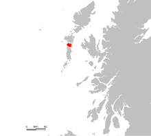
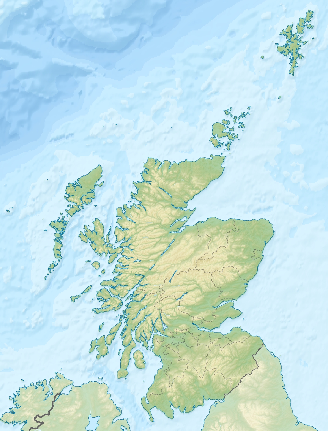
Benbecula Location 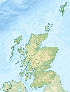
 Benbecula
Benbecula shown within Scotland OS grid reference NF807525 Names Gaelic name  Beinn nam Fadhla (help·info)
Meaning of name pennyland of the fords Area and summit Area 8,203 hectares (31.7 sq mi) Area rank 16 Highest elevation Ruaval 124 metres (407 ft) Population Population 1,219 Population rank 12 out of 97 Main settlement Balivanich Groupings Island group Uists and Barra Local Authority Na h-Eileanan Siar 

References [1][2][3][4][5] If shown, area and population ranks are for all Scottish islands and all inhabited Scottish islands respectively. Population data is from 2001 census. Benbecula (Scottish Gaelic: Beinn nam Fadhla,[6] pronounced [peɲəˈvɤːlˠ̪ə]) is an island of the Outer Hebrides in the Atlantic Ocean off the west coast of Scotland. In the 2001 census it had a usually resident population of 1,249, with a sizable percentage of Roman Catholics. It forms part of the area administered by Comhairle nan Eilean Siar or the Western Isles Council.
Contents
Etymology
The first written record of the name is as "Beanbeacla" in 1449.[7] Historically this name is assumed to derive from Peighinn nam Fadhla (pronounced [pʰe.ɪɲəmˈfɤːlˠ̪ə]) "pennyland of the fords" as the island is essentially flat.[6] Phonetically being highly similar to the unstressed form of Beinn ([peɲ] "mountain", this appears to have been subject to folk etymology or re-analysis, leading to the modern forms containing Beinn rather than Peighinn. Through a process of language assimilation, the [mˈfɤːlˠ̪ə] sequence has resulted in the modern pronunciation of [vɤːlˠ̪ə]. The spelling variations faola and fadhla are due to phonetic merger of /ɤ/ with /ɯ/ in certain Gaelic dialects. Some of the spelling variants include: Beinn a' Bhaoghla, Beinn na Faoghla, Beinn na bhFadhla, Beinn nam Fadhla, Beinn nam Faola...
The second element is a loan from Norse vaðil(l) "ford" which was borrowed as Gaelic fadhail (genitive fadhla).[8] Through the process of reverse lenition fadhla, with the ethnonymic suffix -ach has led to the formation of Badhlach "a person from Benbecula".
Other interpretations that have been suggested over the years are Beinn Bheag a' bhFaodhla, supposedly meaning the "little mountain of the ford" and Beinn a' Bhuachaille, meaning "the herdsman's mountain".[2]
The island is also known in Gaelic poetry as An t-Eilean Dorcha "the dark island".
Geography

 Beach on the west coast of Benbecula looking towards South Uist.
The island lies between the islands of North Uist and South Uist, to which it is connected by road causeways. Travel to any of the other main Hebridean islands, or to the British mainland, must be done by air or sea. Benbecula Airport on the island has daily flights to Glasgow, Stornoway and Barra. A direct service to Inverness was introduced in 2006 but discontinued in May 2007. There are no direct ferry services from Benbecula to the mainland, but a service operated by Caledonian MacBrayne from Lochboisdale on South Uist provides a five-hour crossing to Oban on the mainland, whilst another service from Lochmaddy on North Uist provides a two-hour crossing to Uig on the Inner Hebridean island of Skye, and hence to the mainland via the Skye Bridge. Ferry services from the islands of Berneray (linked by causeway to North Uist) and Eriskay (linked to South Uist) connect to the other Outer Hebridean islands of Harris and Barra respectively.
Settlements
Benbecula's main settlement is Balivanich (Scottish Gaelic: Baile a' Mhanaich, meaning "Town of the Monk") in the northwest. It is the main administrative centre for the three islands, and has the council offices and the administrative centre for the artillery deep sea firing range on South Uist, which is managed by QinetiQ. The village is also home to the airport and the island's bank.
Other villages include Craigstrome, which lies on the eastern half of Benbecula. In contrast to the cultivated west coast of the island, the eastern half is a mixture of freshwater lochs, moorland, bog and deeply indenting sea lochs. Craigstrome is near Ruabhal, Benbecula's highest hill at 124 metres (407 ft).
The township of Lionacleit is also an important one, housing the Uists' main secondary school, which also doubles as a community centre containing a swimming pool, cafeteria, sports facilities, a small museum and a library.[9] Next door to this is the Lionacleit campus of Lews Castle College. Lionacleit lies on the main weat coastal road, approximately 1 mile from its junction with the north-south spinal road at Creagorry.
Creagorry is located at the south of the island, near to the causeway to South Uist. The Scottish Co-op here is the main supermarket for the south of the island and for the north of South Uist. Borve Castle is located at the southwest end of the island.
The RAF radar station RRH Benbecula monitors the northern Atlantic, but is actually located on the west coast of North Uist.
Nearby islands
 Islands in Loch Uisgebhagh. Bearran is at top right, Orasaigh, middle right and the peninsula of Meanais at top left.
In addition to the Uists there are numerous islands off the north, east and south coasts. To the north of Balivanich is Baleshare and further west is Flodaigh, which is connected to of Benbecula by a causeway, beyond which are Grimsay and Ronay. Off the east coast there are numerous small islands in Loch Uisgebhagh including Bearran and Orasaigh Uisgeabhagh. Eileanan Chearabhaigh[10] in the south east has a total area of 100 hectares (250 acres) spread over several islands, the largest of which is about 31 hectares (77 acres) in extent. Further south is the larger Wiay and west from there a profusion of skerries and small islands lie to the north of Bagh nam Faoileann. These include Fraoch-eilean, a second Grimsay, Fodragaigh, Eilean na Cille and Triallabreac.
History
 Borve Castle
Borve Castle is a ruined 14th century tower house, located at the south-west of the island. MacGibbon and Ross attributed the building of the tower to Amie MacRuari, the divorced wife of John of Islay, and dated its construction to between 1344 and 1363.[11][12] It was occupied by the Macdonalds of Benbecula until the early 17th century.
In the early 15th century Hugh MacDonald, third son of Alexander, Earl of Ross was the proprietor of "lands in Uist, Benbecula and Garmoran" although his tenure was opposed by Clanranald of Garmoran.[13] By 1491 Clanranald were in possession of "nearly the whole of Uist and Benbecula".[14]
In 1549, Donald Monro, Dean of the Isles wrote of the "south part of Ywst" and went on:
and in the north syde of this there is ane parochin callit Buchagla, perteining to the said Clandonald. At the north end thereof the sea cuts the countrey againe, and that cutting of the sea is called Careynesse, and benorth this countrey is called Kenehnache of Ywst, that is in Englishe, the north head of Ywst.[15]
"Buchagla" is a reference to Benbecula and Beandmoyll, Beanweall, and Benvalgha are other variants found in charters.[16]
Gaelic speakers
Benbecula has historically been a very strong Gaelic-speaking area. Both in the 1901 and 1921 census, all parishes were reported to be over 75% Gaelic speaking. By 1971, Benbecula and South Uist were classed as 50-74% Gaelic-speaking.[6]
In comparison, it remains a relatively strong Gaelic speaking area in spite of a continued decline. in the 2001 census, Benbecula overall had 56% Gaelic speakers. The weakest Gaelic speaking area is Balivanich with only 37%. All other areas on Benbecula range between 74% (Lionacleit) and 62% (Gramsdale and Uachdar).[6]
Community buy-out
After a protracted campaign local residents took control of parts of the island on 30 November 2006 in a community buy-out. The previous landowners, a sporting syndicate, sold the assets of the 372 square kilometres (92,000 acres) estate including Benbecula, South Uist and Eriskay for £4.5 million to a community-owned organisation known as Stòras Uibhist which was set up to purchase the land and to manage it in perpetuity.[17][18][19]
Notes
- ^ 2001 UK Census per List of islands of Scotland
- ^ a b Haswell-Smith (2004) p. 236
- ^ Ordnance Survey
- ^ "Welcome to Benbecula" Explore Scotland. Retrieved 19 August 2008.
- ^ "Benbecula" Undiscovered Scotland. Retrieved 19 August 2008.
- ^ a b c d Mac an Tàilleir, Iain (2003) Placenames. (pdf) Pàrlamaid na h-Alba. Retrieved 20 August 2008.
- ^ "Benbecula". Encyclopedia.com quoting Mills, A.D. (2003) A Dictionary of British Place-Names. Retrieved 16 April 2011.
- ^ Oftedal, M. The Gaelic of Leurbost Norsk Tidskrift for Sprogvidenskap 1956
- ^ "Sgoil Lionacleit" Comhairle nan Eilean Siar. Retrieved 4 July 2010.
- ^ At grid reference NF866476
- ^ "Borve Castle, NMRS Number: NF75SE 12". RCAHMS. http://www.rcahms.gov.uk/pls/portal/newcanmore.newcandig_details_gis?inumlink=9962. Retrieved 16 April 2011.
- ^ Gregory (1881) p. 29
- ^ Gregory (1881) p. 60
- ^ Gregory (1881) p. 66
- ^ Monro (1549) "Ila" No. 175
- ^ MacLuachlan, Rev. Thomas. "On the Kymric Element in the Celtic Topography of Scotland". (Jan 1866) Proceedings of the Society of Antiquaries of Scotland. VI p. 318
- ^ "Land buyout reality for islanders". BBC News. 30 November 2006. http://news.bbc.co.uk/1/hi/scotland/highlands_and_islands/6195966.stm. Retrieved 4 January 2010.
- ^ "Stòras Uibhist: Going Forward Together" storasuibhist.com. Retrieved 26 June 2010.
- ^ The quiet revolution. (19 January 2007) Broadford. West Highland Free Press.
References
- Gregory, Donald (1881) The History of the Western Highlands and Isles of Scotland 1493 - 1625. Edinburgh. Birlinn. 2008 reprint - originally published by Thomas D. Morrison. ISBN 1904607578
- Haswell-Smith, Hamish (2004). The Scottish Islands. Edinburgh: Canongate. ISBN 1841954543.
- Monro, Sir Donald (1549) A Description Of The Western Isles of Scotland. Appin Regiment/Appin Historical Society. Retrieved 3 March 2007. First published in 1774.
External links
- Sgoil Lionacleit
- Explore Benbecula
- Undiscovered Scotland page on Benbecula
- Am Paipear Community Newspaper
- Map sources for Benbecula
Inhabited islands of the Hebrides Inner Hebrides 
Outer Hebrides Baleshare · Barra · Benbecula · Berneray · Eriskay · Flodaigh · Fraoch-eilean · Great Bernera · Grimsay (North) · Grimsay (South) · Lewis and Harris · North Uist · Scalpay · South Uist · VatersayIslands of Scotland Northern Isles 
Hebrides Other Categories:- Uist islands
- Community buyouts in Scotland
- Highland Estates
- Islands of the Outer Hebrides


Wikimedia Foundation. 2010.