- Natividad, Pangasinan
-
Natividad — Municipality — 
SealMap of Pangasinan showing the location of Natividad. Location in the Philippines
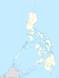
 Natividad
Coordinates: 16°03′N 120°49′E / 16.05°N 120.817°ECoordinates: 16°03′N 120°49′E / 16.05°N 120.817°E Country  Philippines
Region Ilocos Region (Region I) Province Pangasinan District 6th District, Pangasinan Founded Barangays 18 Government - Mayor Alejandrea Supnet Area - Total 134.36 km2 (51.9 sq mi) Population (2007) - Total 21,560 - Density 160.5/km2 (415.6/sq mi) Time zone PST (UTC+8) ZIP code 2446 Income class 4th class; rural Population Census of Natividad Census Pop. Rate 1995 18,070 — 2000 19,870 2.06% 2007 21,560 1.13% Natividad is a 4th class municipality in the province of Pangasinan, Philippines. According to the latest census, it has a population of 21,560 people in 4,153 households.
Barangays
Natividad is politically subdivided into 18 barangays.
- Barangobong
- Batchelor East
- Batchelor West
- Burgos (San Narciso)
- Cacandungan
- Calapugan
- Canarem
- Luna
- Poblacion East
- Poblacion West
- Rizal
- Salud
- San Eugenio
- San Macario Norte
- San Macario Sur
- San Maximo
- San Miguel
- Silag
External links
- Personal Natividad Website Non-Gov
- Personal Natividad Website Non-Gov
- Philippine Standard Geographic Code
- 2007 Philippine Census Information
Municipalities Agno • Aguilar • Alcala • Anda • Asingan • Balungao • Bani • Basista • Bautista • Bayambang • Binalonan • Binmaley • Bolinao • Bugallon • Burgos • Calasiao • Dasol • Infanta • Labrador • Laoac • Lingayen • Mabini • Malasiqui • Manaoag • Mangaldan • Mangatarem • Mapandan • Natividad • Pozorrubio • Rosales • San Fabian • San Jacinto • San Manuel • San Nicolas • San Quintin • Santa Barbara • Santa Maria • Santo Tomas • Sison • Sual • Tayug • Umingan • Urbiztondo • VillasisComponent cities Alaminos • San Carlos • UrdanetaIndependent component city (Administratively independent from the province, but grouped under Pangasinan by the National Statistics Office)Categories:- Municipalities of Pangasinan


Wikimedia Foundation. 2010.