- Nevada State Route 147
-
State Route 147
Lake Mead Boulevard Route information Maintained by NDOT Length: 14.986 mi[1] (24.118 km) Existed: 1978 – present Major junctions West end:  I-15 in North Las Vegas
East end: Northern boundary of Lake Mead NRA Highway system ←  SR 146
SR 156  →
→State Route 147 is a short distance state highway located southern Nevada. It is signed as Lake Mead Boulevard and runs from Interstate 15 in North Las Vegas east to the border of the Lake Mead National Recreation Area.
Lake Mead Boulevard became a state highway in 1978, but the highway never had markers posted to identify it as a state highway.
Contents
History
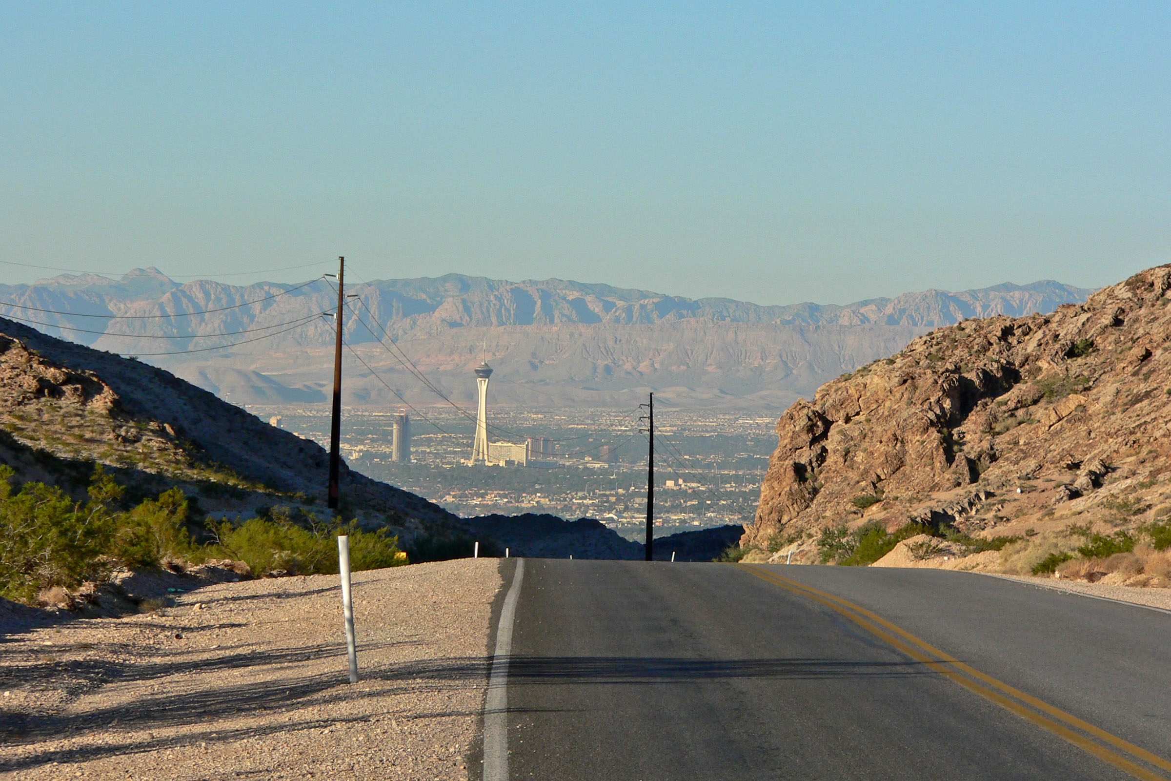
 Las Vegas seen from where 147 passes over the north shoulder of Frenchman Mountain
SR 147 first appears on the official Nevada state highway map in 1978-9 as a semi-circular route. The route was: Lake Mead Blvd. (which was previously unnumbered) eastward from North Las Vegas to North Shore Rd. in the Lake Mead National Recreation Area; south on North Shore Rd. (replacing SR 41A) to Lakeshore Rd.; then west on Lakeshore Rd. (later Lake Mead Dr., now Lake Mead Parkway), replacing part of SR 41. The terminus was at Lakeshore Rd. and Boulder Highway (then US 93/US 95, now SR 582). The highway continued west of Boulder Highway as SR 146.
The northern section along Lake Mead Blvd. lacks the SR 147 designator on the 1983-4 and 1985-6 maps. However, it is back on the 1987-88 map, so it is unclear whether this was a map error or possibly a planned decommissioning that wasn’t carried out.
On the 1998-9 map, the southern section of SR 147 (along Lake Mead Dr.) is replaced by an eastward extension of SR 146 (now SR 564). The entire length of SR 147 is now on Lake Mead Blvd. with the eastern terminus truncated to the northern border of the Lake Mead National Recreation Area.
Public transport
Citizens Area Transit Route 210 functions on this road.
Major intersections
The entire route is in Clark County.
Location Mile Destination Notes North Las Vegas Lake Mead Boulevard Continuation beyond I-15 
 I-15 / US 93 – Salt Lake City, Los Angeles
Interchange Las Vegas Boulevard (SR 604) Former US 91 Sunrise Manor
(unincorporated Las Vegas)Lamb Boulevard Nellis Boulevard (SR 612) Lake Mead Boulevard Continuation beyond the Lake Mead NRA northern boundary 1.000 mi = 1.609 km; 1.000 km = 0.621 mi Notes
References
- Nevada Department of Highways (1978-9). Official Highway Map of Nevada (Map).
- Nevada State Department of Transportation (1983-4). Official Highway Map of Nevada (Map).
- Nevada State Department of Transportation (1985-6). Official Highway Map of Nevada (Map).
- Nevada State Department of Transportation (1987-8). Official Highway Map of Nevada (Map).
- Nevada Department of Transportation (1998-9). Official Highway Map of Nevada (Map).
External links
Categories:- State highways in Nevada
- Streets in Las Vegas, Nevada
- Streets in North Las Vegas, Nevada

Wikimedia Foundation. 2010.