- Malin to Mizen
-
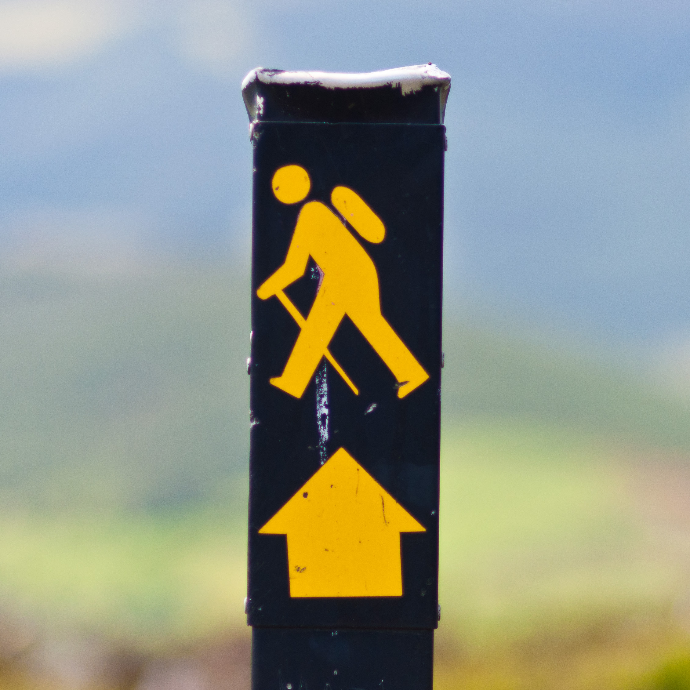
 Malin Head
 Mizen Head
Malin to Mizen most commonly refers to a journey from Malin Head (Ireland's most northerly point in County Donegal) to Mizen Head in County Cork (commonly thought to be Ireland's most southerly point, although nearby Brow Head is approximately 30 feet further south). The journey is most often attempted by cyclists and walkers as a challenge route with the goal of raising money for charities. As the crow flies, the two points are 466 km (290 mi) apart. The shortest road distance from Malin to Mizen is approximately 555 km (345 mi). The distance of the route commonly taken has been reported as between 644 and 715 km (400 and 444 miles).[1] [2]
Cycling
A record cycling time of 19 hours 3 mins was set in 1993 by Joe Barr.[3] However, the route is most commonly completed in around 5–6 days by cyclists. [4]
The charity Marie Curie Cancer Care uses the route as a fundraising opportunity and provides logistical support for cyclists who are able to raise a minimum sponsorship amount and pay a registration fee.[5]
Walking
The route was attempted by a resident of Derry on 1.2 metre (4 foot) stilts in 1997 as a charity fundraising venture.[6]
In 2002, two men called Vinnie Kelly and Danny Farren from a nearby community called Glengad walked from Mizen to Malin in 12 days. They raised over €45,000 for local charities.
Running
Between July 5th and 10th 2011, Welsh International ULTRA-runner, Jennifer Salter (36), broke the existing End-to-End World Running record set by Ireland's Richard Donovan by over 14 hours by covering the 555km (345 mile) distance in a time of 4 days, 23 hours, 3 minutes and 10 seconds. Event blog (www.m2multra.blogspot.com).
Mixed running/cycling
Between July 3rd and 7th 2011, Malcolm McLoughlin undertook the runningforpearl crossing, running 200km and cycling 410km to cover the 610km from Mizen to Malin, to raise awareness for child autism. [7]
Longboarding
From June 7 to June 19, 2009, four European friends (Alex, Raif, Alfred and Peter) 'ran' their longboards the length of Ireland to raise awareness about the crisis in Zimbabwe and to raise support for the Elias Fund. They longboarded from Mizen Head to Malin Head in twelve days.[8]
Other uses of the phrase
The phrase is also used to represent the whole geographical extent of Ireland: "a Malin Head to Mizen Head approach".[9]
See also
References
- ^ Mizen Malin Organisation. "Mizen-Malin Challenge". http://www.mizen-malin.org/. Retrieved 2008-05-08.
- ^ Nenagh Guardian. "Mines man takes part in awareness cycle for disabled". http://www.nenaghguardian.ie/news/mines-man-takes-part-in-awareness-cycle-for-disabled-1350913.html. Retrieved 2008-05-08.[dead link]
- ^ cullen, Robert; Rose Leith (2006-07-17). "O'Donoghue goes for Mizen to Malin record". http://www.irishcycling.com/publish/exec/view.cgi?archive=8&num=1925. Retrieved 2008-05-08.
- ^ www.mizen2malin.ie. "Take the Bike': HSE Mizen 2 Malin 2008". http://www.mizen2malin.ie/route/. Retrieved 2008-05-08.
- ^ Marie Curie Cancer Care. "Malin Head to Mizen Head Cycle Challenge". http://www.mariecurie.org.uk/events/cycling/malin_to_mizen_cycle_challenge/. Retrieved 2008-05-08.
- ^ Ian Starrett (1997-09-11). "Walking tall!; Malin to Mizen stilts marathon". http://www.highbeam.com/doc/1G1-61145038.html. Retrieved 2008-05-08.
- ^ "McLoughlin to run Mizen 2 Malin". http://ultrarunningireland.com/live/novice/886.html.
- ^ Run4Zimbabwe
- ^ Keaveney, Cecilia. "Parliamentary Debates (Dáil and Seanad) 2001: Communications infrastructure". http://www.irlgov.ie/debates-01/12april/sect5.htm. Retrieved 2008-05-08. "We not only need the line that was supposed to be coming, but we also need a Malin Head to Mizen Head approach"
External links
Long-distance trails in the Republic of Ireland National Waymarked Trails Ballyhoura Way · Barrow Way · Bealach na Gaeltachta, Dún na nGall · Beara Way · Blackwater Way · Bluestack Way · Burren Way · Cavan Way · Croagh Patrick Heritage Trail · Dingle Way · Dublin Mountains Way · East Clare Way · East Munster Way · Grand Canal Way · Hymany Way · Kerry Way · Lough Derg Way · Mid Clare Way · Miners Way and Historical Trail · Monaghan Way · Multeen Way · Nore Valley Way · North Kerry Way · Offaly Way · Royal Canal Way · Sheep's Head Way · Slieve Bloom Way · Slieve Felim Way · Sligo Way · South Leinster Way · Suck Valley Way · Táin Way · Tipperary Heritage Way · Western Way · Westmeath Way · Wicklow Way
Pilgrim Paths Greenways Great Southern Trail · Great Western GreenwayOther Bangor Trail · Malin to MizenCategories:


Wikimedia Foundation. 2010.