- Old Congregational Church (North Scituate, Rhode Island)
-
Old Congregational Church
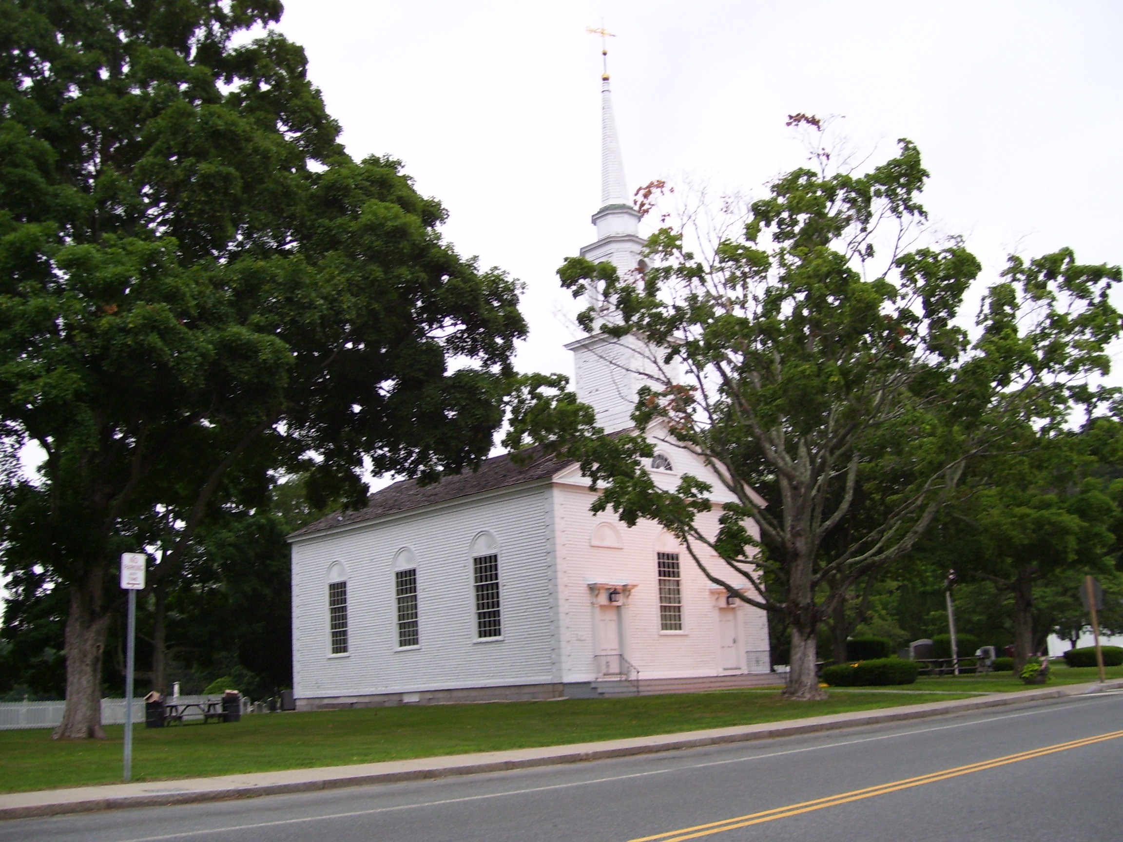
 Old Congregational Church in 2008
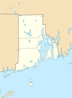

Location: North Scituate, Rhode Island Coordinates: 41°50′3″N 71°35′14″W / 41.83417°N 71.58722°WCoordinates: 41°50′3″N 71°35′14″W / 41.83417°N 71.58722°W Built: 1831 Architect: Clark Sayles Architectural style: Greek Revival Governing body: Local NRHP Reference#: 74000002[1] Added to NRHP: January 11, 1974 The Old Congregational Church is an historic church building on Greenville Road, or Rhode Island Route 116, in the Smithville-North Scituate historic district of Scituate, Rhode Island. Built in 1834, the building is no longer a functional church. Interestingly, the pews face the front door of the church, presumably to embarrass latecomers.
In 1974, the National Register of Historic Places added the building as #74000002.[1] The building is now owned by the town, and the Scituate Art Festival has been held on the church grounds every autumn since 1967. The art festival was originally founded to raise funds to restore the church interior.
References
- ^ a b "National Register Information System". National Register of Historic Places. National Park Service. 2007-01-23. http://nrhp.focus.nps.gov/natreg/docs/All_Data.html.
External links
- National Register listing
- Scituate Art Festival
- History of the State of Rhode Island with Illustrations Albert J. Wright, Printer No. 79 Mille Street, corner of Federal, Boston. Hong, Wade & Co., Philadelphia 1878. "The History of Scituate."
U.S. National Register of Historic Places Topics Lists by states Alabama • Alaska • Arizona • Arkansas • California • Colorado • Connecticut • Delaware • Florida • Georgia • Hawaii • Idaho • Illinois • Indiana • Iowa • Kansas • Kentucky • Louisiana • Maine • Maryland • Massachusetts • Michigan • Minnesota • Mississippi • Missouri • Montana • Nebraska • Nevada • New Hampshire • New Jersey • New Mexico • New York • North Carolina • North Dakota • Ohio • Oklahoma • Oregon • Pennsylvania • Rhode Island • South Carolina • South Dakota • Tennessee • Texas • Utah • Vermont • Virginia • Washington • West Virginia • Wisconsin • WyomingLists by territories Lists by associated states Other Categories:- Churches in Rhode Island
- Properties of religious function on the National Register of Historic Places in Rhode Island
- Religious buildings completed in 1836
- 19th-century church buildings
- Churches in Providence County, Rhode Island
- Scituate, Rhode Island
- Rhode Island Registered Historic Place stubs

Wikimedia Foundation. 2010.