Woonona railway station, New South Wales
- Woonona railway station, New South Wales
Cityrail Station alt|station_name=Woonona|
servicearea=South Coast Line|servicearea_color=#South Coast line colour|servicearea_textcolor=white
code=WOJ|town=Woonona|street=Park Rd|distance=73.99|altitude=?|traintype=Intercity|platforms=2|tracks=2|platform_arr=2 Side|stationtype=Ground|gates=No|connect=Bus|disabled=Yes (Assisted)
facilities= [http://www.cityrail.info/facilities/facilities.jsp?n=314&giveOutput=true&facility= Link]
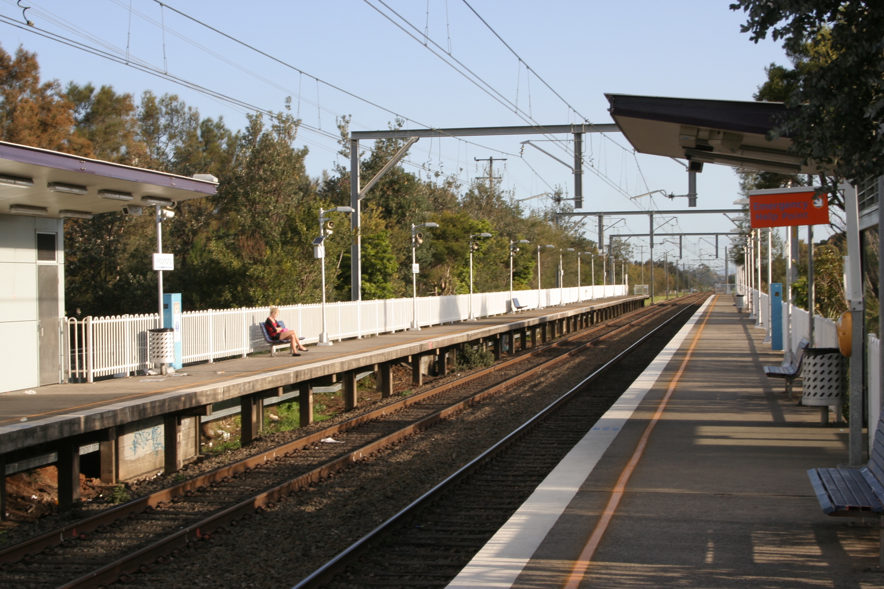
Woonona is a CityRail railway station on Sydney's South Coast railway line. It serves the residential suburb of Woonona which is a suburb of Wollongong. The station has two side platforms, connected by a footway at a level crossing.
The station is served by about one train per hour for most of the time, with additional trains at weekday peak hours.
The station has street access to both platforms, via a level crossing. This allows for the station to classed as having Easy Access for wheelchairs.
Platforms/Service
Platform 1:
*South Coast line colour>South Coast Line - intercity services to Thirroul and Central.Platform 2:
*South Coast line colour>South Coast Line - intercity services to Wollongong, Port Kembla and Kiama.
Transport Links
Dion's Bus Service runs one route via Woonona railway station:
*4 - Between Bulli and Fairy Meadow.
ee also
*
Wikimedia Foundation.
2010.
Look at other dictionaries:
Illawarra bus routes, New South Wales — Public transport infrastructure in Sydney logo= name=Illawarra transport mode=Commuter bus line owner=Ministry of Transport operation area=Wollongong Shellharbour Kiama Wingecarribee line length=37 routes interchange names=Wollongong station… … Wikipedia
Wollongong, New South Wales — Infobox Australian Place type = city name = Wollongong state = nsw imagesize = 270 caption = pop = 263,535 pop footnotes = poprank = 9th density = 385.3 density footnotes = est = postcode = 2500 coordinates =… … Wikipedia
Dapto, New South Wales — Dapto Wollongong, New South Wales Population: 10,480 … Wikipedia
Corrimal, New South Wales — Corrimal Wollongong, New South Wales Aerial photo of Corrimal to Tarrawanna Pop … Wikipedia
Otford, New South Wales — This article is about the town in NSW. For the village in England, see Otford. Otford Wollongong, New South Wales Otford Lookout … Wikipedia
Clifton, New South Wales — Clifton Wollongong, New South Wales View of Clifton from the Illawarra Escarpment … Wikipedia
East Corrimal, New South Wales — East Corrimal Wollongong, New South Wales Aerial photo overlooking Corrimal and Tarrawanna to East Corrimal … Wikipedia
Albion Park, New South Wales — Albion Park Wollongong, New South Wales An aerial picture of the suburb Population … Wikipedia
Coniston, New South Wales — Coniston Wollongong, New South Wales Population: 1,883 … Wikipedia
Cringila, New South Wales — Cringila Wollongong, New South Wales Aerial photo from east Population … Wikipedia