- Mettelhorn
-
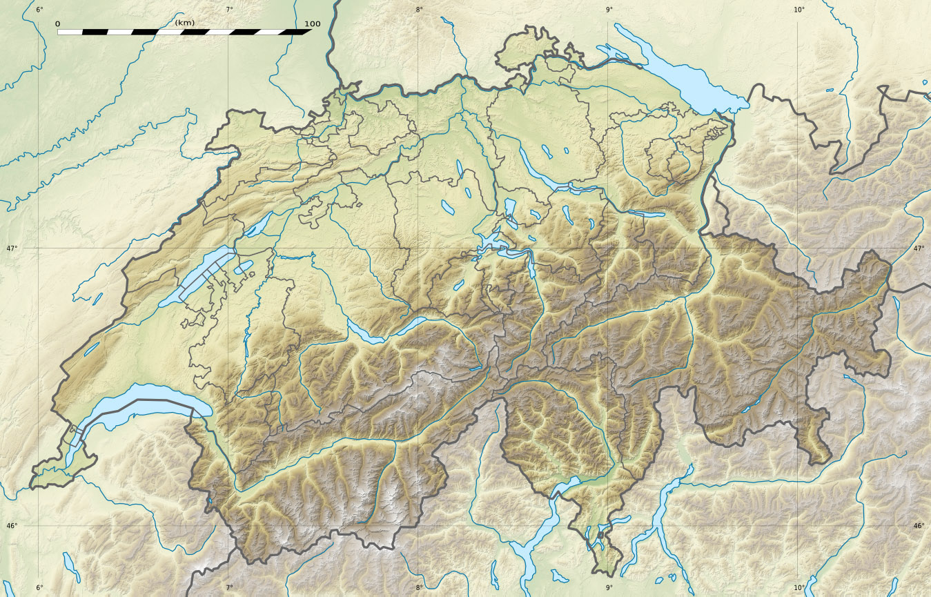
Mettelhorn 
The Mettelhorn above the Mattertal (center left)Elevation 3,406 m (11,175 ft) Prominence 240 m (787 ft) [1] Parent peak Monte Rosa Location Switzerland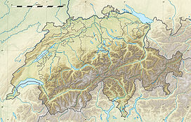
 Mettelhorn
Range Pennine Alps Coordinates 46°03′26″N 7°44′33″E / 46.05722°N 7.7425°ECoordinates: 46°03′26″N 7°44′33″E / 46.05722°N 7.7425°E The Mettelhorn is a mountain in the Pennine Alps, near Zermatt.
Mettelhorn is 3406m high mountain in Switzerland. It is so called walk up mountain. Mettelhorn provides excellent Acclimatization opportunies, especially if one climbs its sister peaks Platthorn and Wisshorn on the same day. It can be reached easily from the north side of the Zermatt town, wherefrom starts the Edelweiss path. Walking takes about six hours upwards and four hours downwards. The path goes through a forest before coming to the Pension Edelweiss. This section takes about one hour. Here also ends the forest section and a wider canyon opens having a river in the middle. There is also plenty of signs about the wildflowers growing on the mountains with photos. It takes one more hour to reach the Hotel Trift. Path is comfortable to follow and scenery rich with a few mountain tops. One can see the Unter Gabelhorn mountain on the left side with several smaller peaks. From the Hotel Trift goes a path towards left and Hohbalmen ridge, where is the Ober Gabelhorn mountain. Ober Gabelhorn is one of the four thousanders nearby. Next path leads towards north east going towards Zinal Rothorn, Platthorn and Mettelhorn mountains. The path going on the Zinal Rothorn mountain turns soon towards north west. There is also a bivouac Rothorn Hutte next to this path. It is advisable to visit the Alpine Center in the Zermatt town, before staying overnight. These bivouacs may be fully booked sometimes. The third path also near the hotel starts to go towards south east and the Wisshorn mountain. After one hours ascending opens the Triftchumme meadow, having occasionally some sheeps grazing. At the other side of meadow is the Platthorn mountain. Finally one comes on the saddle called Furggi pass. From here one can see the Mettelhorn mountain and decide if to climb the Platthorn mountain or to go over the Hohlicht Gletscher glacier first. Going up on the Platthorn takes about 30 minutes. On the north side is the Unter Aschorn mountain and also the Weisshorn mountain can be seen. Glacier is steep and crampons are recommended, even the glacier does not provide major difficulties to walk over. Glacier section takes about 30 minutes. Mettelhorn has a steep face but can be walked up. Loose stones can give some trouble on the way up. Views are spectacular and can be reached by almost any active hiker with some mountain experience. On the top of the mountain one can see more famous mountains like; Weisshorn, Dom (Mischabel), Monte Rosa, Matterhorn, Ober Gabelhorn and Zinal Rothorn. Mattertal valley can be seen on the east side.
Photo gallery
-

Mettelhorn as seen from the west side
-

Glacier between the Mettelhorn and Platthorn mountains
-

View on the Platthorn mountain
-

View towards Randa and the Dom mountain
-

On the Furggi Pass, Matterhorn at the background
-

Pink mountain flowers
-

Blue mountain flowers
-

Sheeps on a mountain meadow
Categories:- Mountains of Switzerland
-


Wikimedia Foundation. 2010.