- Maplebeck
-
Coordinates: 53°08′N 0°56′W / 53.14°N 0.94°W
Maplebeck 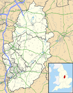
 Maplebeck
Maplebeck shown within NottinghamshireOS grid reference SK710607 District Newark and Sherwood Shire county Nottinghamshire Region East Midlands Country England Sovereign state United Kingdom Post town NEWARK Postcode district NG22 Police Nottinghamshire Fire Nottinghamshire Ambulance East Midlands EU Parliament East Midlands List of places: UK • England • Nottinghamshire Maplebeck is a village in Nottinghamshire, England. It is located 6 miles north of Southwell, and is part of the civil parish of Winkburn. It is one of only five villages in England to have a church dedicated to St Radegund and it is also one of only fifty one Thankful Villages in England and Wales - those rare places that were spared fatalities in the Great War of 1914 to 1918. The parish church of St Radegund was extensively restored in 1898[1].
References
- ^ Pevsner, Nikolaus. 1979. The Buildings of England: Nottinghamshire, page 176. Harmondsworth, Middx. Penguin.
External links
 Media related to Maplebeck at Wikimedia CommonsCategories:
- Villages in Nottinghamshire
- Nottinghamshire geography stubs

Wikimedia Foundation. 2010.