- Townsend, Tennessee
Infobox Settlement
official_name = Townsend, Tennessee
settlement_type =City
nickname =
motto =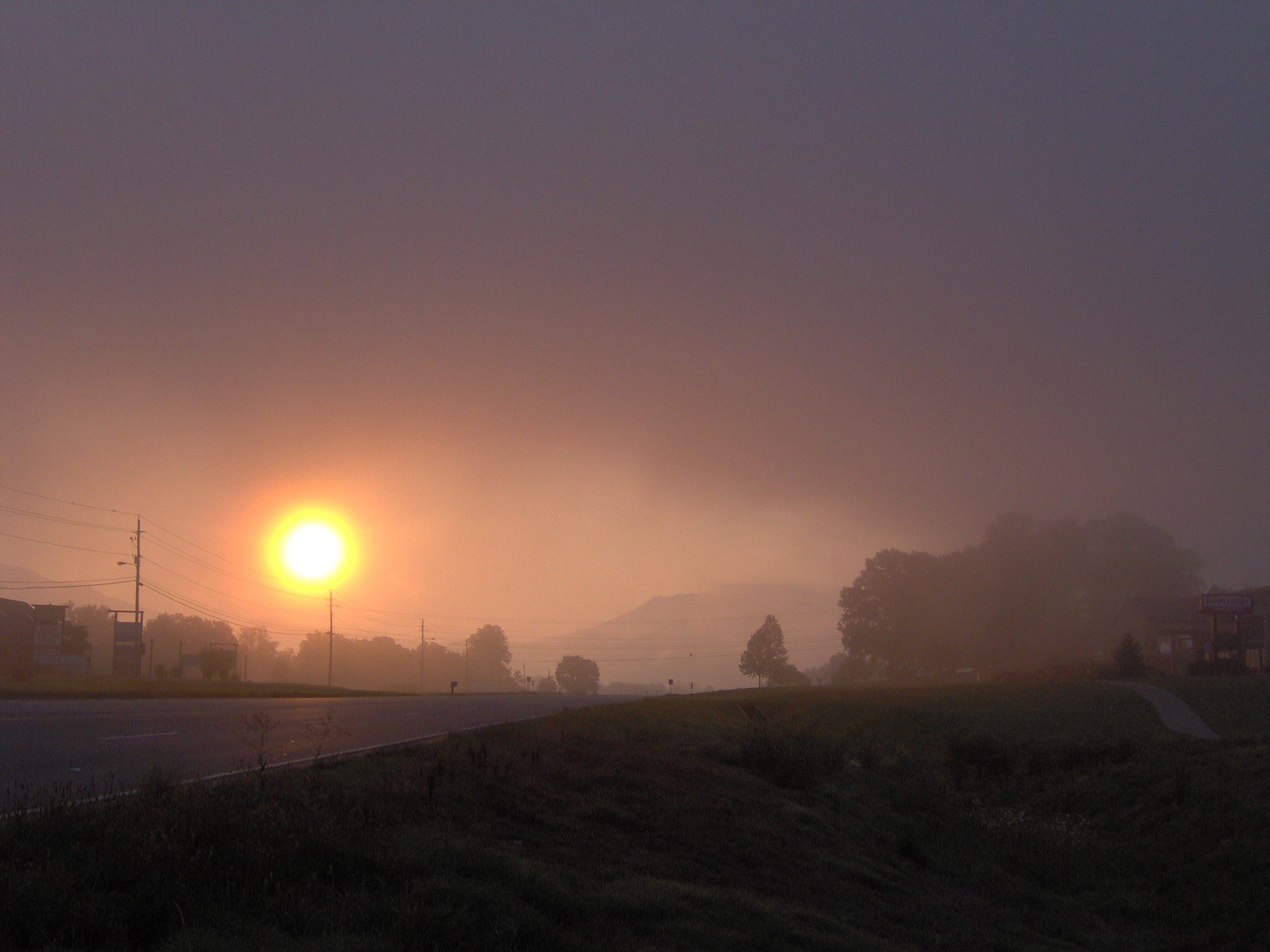
imagesize = 250px
image_caption = Townsend at sunrise
image_
mapsize = 250px
map_caption = Location of Townsend, Tennessee
mapsize1 =
map_caption1 =subdivision_type = Country
subdivision_name =United States
subdivision_type1 = State
subdivision_name1 =Tennessee
subdivision_type2 = County
subdivision_name2 = Blountgovernment_footnotes =
government_type =
leader_title =
leader_name =
leader_title1 =
leader_name1 =
established_title =
established_date =unit_pref = Imperial
area_footnotes =area_magnitude =
area_total_km2 = 2.4
area_land_km2 = 2.4
area_water_km2 = 0.0
area_total_sq_mi = 0.9
area_land_sq_mi = 0.9
area_water_sq_mi = 0.0population_as_of = 2000
population_footnotes =
population_total = 244
population_density_km2 = 102.6
population_density_sq_mi = 265.7timezone = Eastern (EST)
utc_offset = -5
timezone_DST = EDT
utc_offset_DST = -4
elevation_footnotes =
elevation_m = 326
elevation_ft = 1070
latd = 35 |latm = 40 |lats = 32 |latNS = N
longd = 83 |longm = 45 |longs = 18 |longEW = Wpostal_code_type =
ZIP code
postal_code = 37882
area_code = 865
blank_name = FIPS code
blank_info = 47-74860GR|2
blank1_name = GNIS feature ID
blank1_info = 1272813GR|3
website =
footnotes =Townsend is a city in Blount County,
Tennessee , in the southeasternUnited States . The population was 244 at the 2000 census. Townsend is one of three "gateways" to theGreat Smoky Mountains National Park and the home of several museums and attractions relating to both the natural and human history of the Smoky Mountains.Dubbing itself "the Peaceful Side of the Smokies," Townsend has the least traffic of the park's three main entrances. The park's other two entrances— one just south of
Gatlinburg and the other just north of Cherokee— are home to multiple commercial attractions that draw millions of tourists each year. Townsend is more low-key, with a handful of inexpensive restaurants and motels, and several businesses geared toward outdoor sports.Geography
Townsend is located at coor dms|35|40|32|N|83|45|18|W|city (35.675471, -83.755012)GR|1.
Townsend is situated in Tuckaleechee Cove, one of several "limestone windows" that dot the northern base of the Smokies. These windows form when erosional forces carry away the older rocks (mostly sandstone), exposing the younger rock below (i.e., limestone). [Harry Moore, "A Roadside Guide to the Geology of the Great Smoky Mountains National Park" (Knoxville: University of Tennessee Press, 1988), 33.] Limestone windows are normally flatter than other mountainous valleys, and are typically coated with rich, fertile soil. Other limestone windows in the area include
Cades Cove , Wear Cove, and Jones Cove. Tuckaleechee Cove is situated between Bates Mountain to the north and Rich Mountain to the south, with the cove's greater population estimated at around 1,500. Little River, its source high in the mountains on the north slopes ofClingmans Dome , [http://www.topozone.com/map.asp?lat=35.57888&lon=-83.48574&size=l&u=4&datum=nad27&layer=DRG] slices east-to-west through Tuckaleechee and drains much of the cove. The city of Townsend dominates the eastern half of Tuckaleechee.According to the
United States Census Bureau , the city has a total area of 0.9square mile s (2.4km² ), all of it land. As of 2004, annexation increased the size of the town considerably. Townsend is included in theKnoxville, Tennessee Metropolitan Statistical Area .Demographics
As of the
census GR|2 of 2000, there were 244 people, 124 households, and 80 families residing in the city. Thepopulation density was 265.7 people per square mile (102.4/km²). There were 217 housing units at an average density of 236.3/sq mi (91.1/km²). The racial makeup of the city was 97.95% White, 1.23% Native American and 0.82% Asian.There were 124 households out of which 15.3% had children under the age of 18 living with them, 58.9% were married couples living together, 3.2% had a female householder with no husband present, and 34.7% were non-families. 33.1% of all households were made up of individuals and 23.4% had someone living alone who was 65 years of age or older. The average household size was 1.97 and the average family size was 2.44.
In the city the population was spread out with 12.3% under the age of 18, 2.5% from 18 to 24, 19.3% from 25 to 44, 36.5% from 45 to 64, and 29.5% who were 65 years of age or older. The median age was 56 years. For every 100 females there were 86.3 males. For every 100 females age 18 and over, there were 86.1 males.
The median income for a household in the city was $36,250, and the median income for a family was $50,000. Males had a median income of $41,071 versus $29,375 for females. The
per capita income for the city was $21,647. About 5.9% of families and 12.1% of the population were below thepoverty line , including 7.7% of those under the age of eighteen and 11.5% of those sixty five or over.History
Native Americans were the first inhabitants of Tuckaleechee Cove, with the oldest archaeological finds in the cove dating to 2000 B.C. A number of pottery fragments and ax heads dating to the
Woodland period have also been found. By 1200 A.D., Tuckaleechee's Native American inhabitants had built a fortified village near the cove's northern entrance. [Iva Butler, "Archaeologists Pack Up Townsend Dig." The Maryville-Alcoa "Daily Times", 17 February 2001.]The
Cherokee arrived in the area around 1600, and built a series of small villages along Little River. The name "Tuckaleechee" is from the Cherokee "Tikwalitsi", and its original meaning is unknown. [James Mooney, "Myths of the Cherokee and Sacred Formulas of the Cherokee" (Nashville: Charles Elder, 1972), 534.] A branch of theGreat Indian Warpath forked in the cove, with one branch heading west to the Overhill towns along theLittle Tennessee River and another heading south toNorth Carolina . [Tennessee Historical Commission marker IE 15 along US-321, Townsend, Tennessee. Information accessed in August, 2007.] 19th century anthropologistJames Mooney recounted an attempted raid on the Cherokee villages in Tuckaleechee by the Shawano in the mid-1700's. The raid was thwarted when a Cherokee conjurer named Deadwood Lighter envisioned the position of the Shawano ambush, and the Cherokees surprised the raiders from the rear, killing many of them and chasing the rest back over the crest of the Smokies. [James Mooney, "Myths of the Cherokee and Sacred Formulas of the Cherokee" (Nashville: Charles Elder, 1972), 374.]By the time the first Euro-American settlers arrived in Tuckaleechee in the late 1700s, the Cherokee villages had been abandoned. [Tennessee Historical Commission marker IE 15 along US-321, Townsend, Tennessee. Information accessed in August, 2007.]
The logging industry
In the 1880's, the lumber industry experienced a boom, due largely to two key innovations— the
band saw and the logging railroad. Flatland forest resources in theOhio Valley and along theMississippi Delta were quickly exhausted, and logging firms began turning more and more to the untapped resources of the more mountainous areas. [Michael Frome, "Strangers In High Places: The Story of the Great Smoky Mountains" (Knoxville: University of Tennessee Press, 1994), 165-166.]In 1900, hoping to capitalize on the thick virgin forests of the Smokies, Colonel W.B. Townsend of
Pennsylvania purchased 86,000 acres (350 km²) of land along Little River, stretching from Tuckaleechee Cove all the way to Clingmans Dome. The following year, Townsend received a charter for his new firm, the Little River Lumber Company. A band saw mill was erected in Tuckaleechee, and Townsend gave his name to the community that grew in the mill's vicinity. The Little River Railroad was constructed shortly thereafter, connecting the saw mill with Walland to the west, and following Little River all the way to Elkmont, to the southeast. [Michael Frome, "Strangers In High Places: The Story of the Great Smoky Mountains" (Knoxville: University of Tennessee Press, 1994), 165-166.]Townsend quickly profited from the forests of the Little River bottomlands. In 1916, he reported that Little River Lumber's consistently-high rate of planks-per-acre was showing no sign of decline. Indeed, a single giant chestnut tree in the Smokies could produce 18,000 planks of wood. Townsend's success led to a rapid expansion of logging operations throughout the Smokies. [Michael Frome, "Strangers In High Places: The Story of the Great Smoky Mountains" (Knoxville: University of Tennessee Press, 1994), 165-166.] By the time the park was formed in the 1930's, nearly two-thirds of area forests had been cut down. [http://www.smokymountainsvisitorsguide.com/history.htm]
The rapid destruction of the forests of southern Appalachia led to increased efforts by conservationists to slow or halt logging operations. Col. Townsend initially opposed the effort, but after some wavering, sold at base price 76,000 acres (310 km²) of his Little River Lumber tract in 1926 to what would eventually become the Great Smoky Mountains National Park. [Carlos Campbell, "Birth of a National Park In the Great Smoky Mountains" (Knoxville: University of Tennessee Press, 1969), 33-35.] Although some predicted that the loss of the lumber industry would doom Tuckaleechee, the explosion in tourism as a result of the park's creation kept the area economy relatively healthy. [Michael Frome, "Strangers In High Places: The Story of the Great Smoky Mountains" (Knoxville: University of Tennessee Press, 1994), 192.]
Present-day Townsend
Tuckaleechee Road, which follows
U.S. 321 , is the main highway connecting Townsend with Walland (and eventually Maryville) to the northwest andPigeon Forge (via Wears Valley) to the east, where it intersects U.S. 441. Near the eastern end of Townsend, SR73 turns southeast from US-321 and heads straight into the national park. This road eventually intersects Little River Road at a popular swimming area known as "The Y". From this intersection,Cades Cove is seven miles to the west, and the Sugarlands and Gatlinburg are roughly eighteen miles to the east. Townsend is home to the Great Smoky Mountains Heritage Center, which details life in pre-park days, and the Little River Railroad and Lumber Company Museum, which recounts the area's logging history. The Tuckaleechee Caverns— a mile-long cave system that reaches depths of up to 150 feet - is also nearby. Just to the north of Townsend, US-321 intersectsFoothills Parkway , anational parkway that traversesChilhowee Mountain and offers multiple overlooks with views of the Smokies to the south and theTennessee Valley andCumberland Plateau to the north and west.References
External links
* [http://www.townsendchamber.org Townsend Chamber of Commerce]
* [http://www.abouttownsend.com About Townsend]
* [http://www.gsmheritagecenter.org/ The Great Smoky Mountains Heritage Center]
* [http://www.littleriverrailroad.org/ Little River Railroad and Lumber Company Museum] - Site with museum information and photographs from early 1900's
* [http://www.gsmit.org/ Great Smoky Mountains Institute at Tremont]
Wikimedia Foundation. 2010.