- Marion, South Australia
-
Marion
Adelaide, South Australia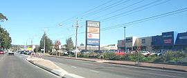
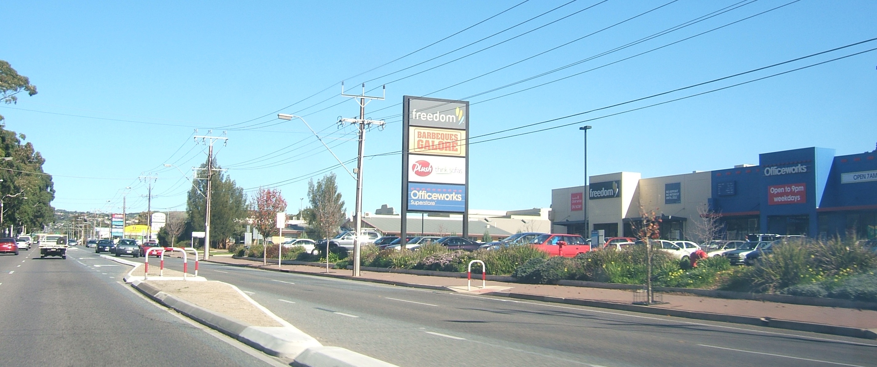
Retail outlets on Marion RoadPopulation: 3,628 (2006 Census)[1] Established: 1838 Postcode: 5043 Location: 10 km (6 mi) from City-centre LGA: City of Marion State District: Elder, Mitchell Federal Division: Boothby Suburbs around Marion: Morphettville Park Holme Ascot Park Oaklands Park Marion Mitchell Park Seacombe Gardens Sturt Bedford Park Marion (34°59′S 138°33′E / 34.983°S 138.55°E) is a suburb located in the City of Marion in Adelaide around 10 km south-west from the CBD. Founded as a rural village in 1838 on the banks of the Sturt River, Marion was found to have rich soil and the population expanded rapidly. Colonel William Light laid out the plan for the village, as he had done with the City of Adelaide itself.[2]
Marion is bordered on the north by Oaklands Road, on the east by Marion Road, on the south by Sturt Road and on the west by a roughly straight line from Finniss Street in the south to The Parade.
Contents
History
Vegetables, stone fruits, almonds and grapes were all produced in Marion. Richard Hamilton started the first vineyard in 1838 and his family continues its wine making tradition to this day.
By the late 19th century Marion was also home to a number of industries such as a mining and brick making. However, the population at this time was still very small - around 350 people.
Gradually the Adelaide sprawl crept up to Marion, and by the 1950s the suburb was well and truly enveloped. Nowadays it is a large, modern suburb with many attractions for its residents.
Amenities
Parkland
Marion is home to a number of parks and reserves. The large sporting complex off Sturt Road contains ovals and a basketball stadium. There are also parks on Norfolk Road, Tilley Crescent, Nicholas Road, Oakleigh Road, George Street and Alison Avenue.
Marion also shares the Oaklands Reserve with Oaklands Park. The City of Marion Swimming Centre is situated adjacent to the suburb of Marion, in Park Holme.
The Sturt River Linear Park is a trail which follows the Sturt River through the south-western metropolitan area from Marion to Glenelg.[3]
Community facilities
The large private school, Westminster, is situated along Alison Avenue near the railway line. It caters to many families in the area for all grades from Reception to Year 12.
Marion High School, a public school in the area closing in 1996, was situated on York Avenue, in the suburb of Clovelly Park. The school serviced the youth of the area for over forty years until its closure. The area has now been redeveloped primarily for housing, with just the school hall remaining, Cosgrove Hall which was named after a long running headmaster of the school.
Churches of various denominations are located Marion.[citation needed]
The Marion Returned and Services League of Australia Club is located on Norfolk Road.
There are two bowling clubs in the suburb of Marion, one on Norfolk Road, near the RSL club and another on Sturt Road adjacent to Sturt Oval.
Governance
Part of the City of Marion. The council offices for the whole city are located in nearby Sturt. Marion is split between the state electorates of Elder and Mitchell and is situated in the Federal Division of Boothby.
Transport
There is a railway station in Marion between Minchinbury Terrace and Fairne Terrace, which connects to Adelaide's centre to the north and Noarlunga to the south.
The M44 bus runs along Finniss Street and Marion Road to Adelaide's centre, Golden Grove and Marion Shopping Centre. The 213 travels along Finniss Street from Marion Shopping Centre to Adelaide's centre via Goodwood Road. In the north of the suburb, the 241 bus travels along Oaklands Road and Daws Road to Adelaide's centre and Marion Shopping Centre.
See also
References
- ^ Australian Bureau of Statistics (25 October 2007). "Marion (State Suburb)". 2006 Census QuickStats. http://www.censusdata.abs.gov.au/ABSNavigation/prenav/LocationSearch?collection=Census&period=2006&areacode=SSC42001&producttype=QuickStats&breadcrumb=PL&action=401. Retrieved 2007-06-30.
- ^ Dolling, Alison (1981). The History of Marion on the Sturt. Frewville, South Australia: Peacock Publications.
- ^ "Sturt River Linear Park". City of Marion. http://www.marion.sa.gov.au/site/page.cfm?u=224. Retrieved 20 August 2010.
Coordinates: 34°59′49″S 138°33′07″E / 34.997°S 138.552°E
Suburbs of the City of Marion Ascot Park · Bedford Park · Clovelly Park · Darlington · Dover Gardens · Edwardstown · Glandore · Glengowrie · Hallett Cove · Marino · Marion · Mitchell Park · Morphettville · O'Halloran Hill · Oaklands Park · Park Holme · Plympton Park · Seacliff Park · Seacombe Gardens · Seacombe Heights · Seaview Downs · Sheidow Park · South Plympton · Sturt · Trott Park · WarradaleCategories:- Suburbs of Adelaide
Wikimedia Foundation. 2010.