- Maîche
-
Maîche

 MaîcheLocation within Franche-Comté region
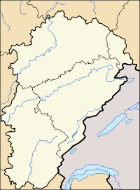 Maîche
Administration Country France Region Franche-Comté Department Doubs Arrondissement Montbéliard Canton Maîche Intercommunality Plateau Maîchois Mayor Joseph Parrenin
(2008–2014)Statistics Elevation 729–981 m (2,392–3,219 ft) Land area1 17.42 km2 (6.73 sq mi) Population2 4,179 (2008) - Density 240 /km2 (620 /sq mi) INSEE/Postal code 25356/ 25120 1 French Land Register data, which excludes lakes, ponds, glaciers > 1 km² (0.386 sq mi or 247 acres) and river estuaries. 2 Population without double counting: residents of multiple communes (e.g., students and military personnel) only counted once. Coordinates: 47°15′07″N 6°48′16″E / 47.25194°N 6.80444°E
Maîche is a commune in the Doubs department in the Franche-Comté region in eastern France.
Contents
Geography
Maîche is situated between the Doubs River and the Dessoubre. It is surrounded by evergreen forests. The highest point in the commune is the Faux Verger.
Population
Historical population of Maîche 1962 1968 1975 1982 1990 1999 2004 2008 3361 3714 4381 4216 4168 3978 3875 4179 See also
References
External links
- Official website (French)
- Maîche on the intercommunal Web site of the department (French)
Categories:- Communes of Doubs
- Doubs geography stubs


Wikimedia Foundation. 2010.