- Ingraham Trail
-
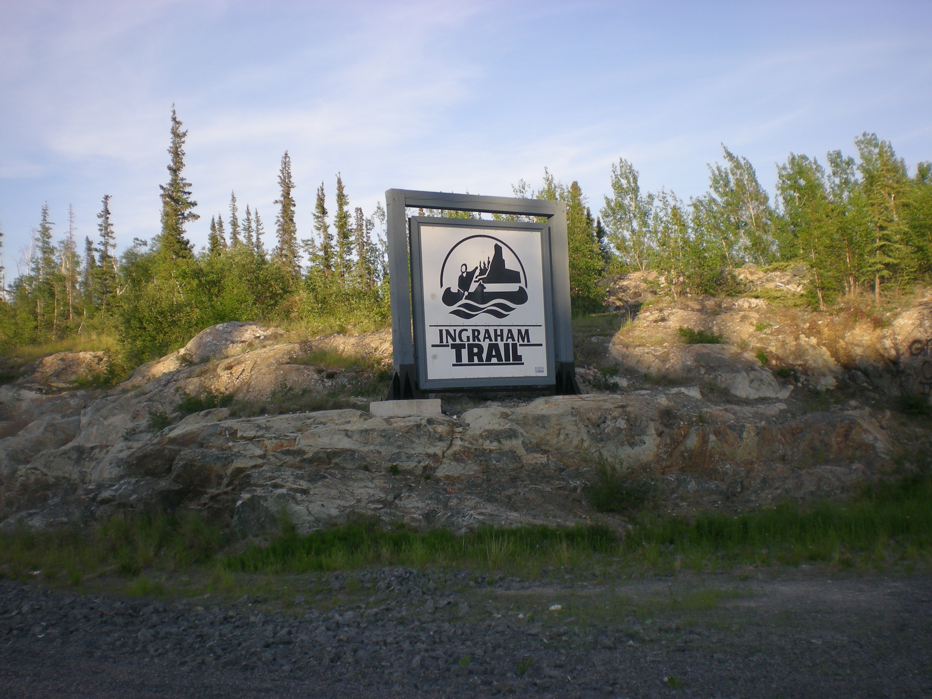
 Sign on the trail
Highway 4, known more commonly as the Ingraham Trail, extends from Yellowknife, Northwest Territories to Tibbitt Lake, approximately 70 km (43 mi) east of Yellowknife. It was built in the mid 1960s as the first leg of a 'road to resources' into the interior of the Arctic, stopping far short of its ultimate goal.
Although the highway serves primarily recreational activities and area residences in this lake-dotted country it is, after the ice breakup on Great Slave Lake, the only access to Dettah from Yellowknife. The small Dene community is about 6.5 km (4.0 mi) from Yellowknife by ice road in winter or 27 km (17 mi) using the Ingraham Trail.
For about a month in late winter, a winter road to Lac de Gras is opened to trucking of mining supplies, the junction being along the Ingraham Trail. The road has taken a beating from the heavy trucks. This is shown on the first season of the American reality television series, Ice Road Truckers, which airs on History. The Tibbitt to Contwoyto Winter Road also extends from the end of the Ingraham Trail to Contwoyto Lake in Nunavut, forming Nunavut's only connection to the road network in the rest of Canada.
The Ingraham Trail is named after Vic Ingraham, a pioneer Yellowknife businessman of the 1930s-40s.
Ingraham Trail details
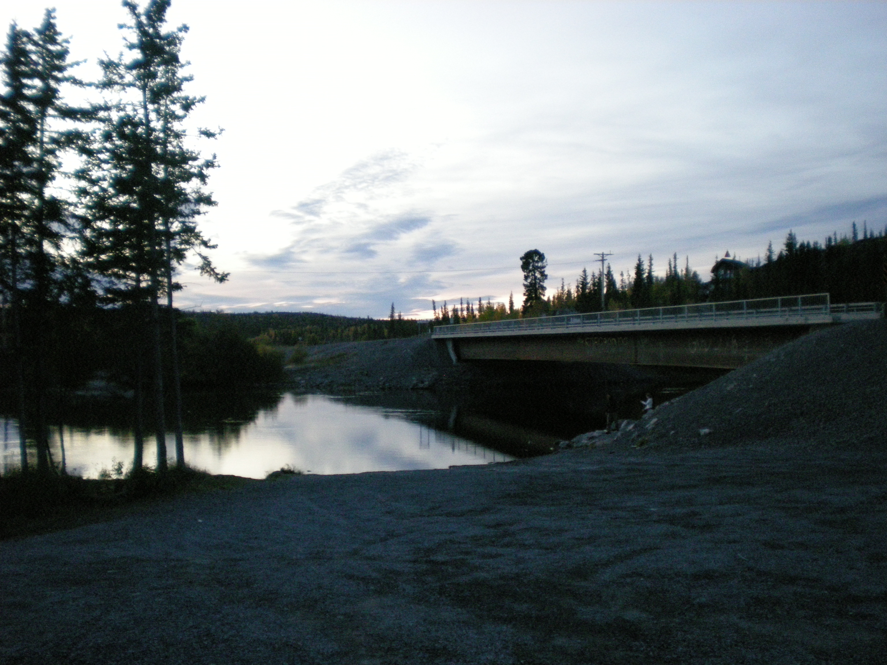
 Ingraham Trail crossing the Yellowknife River
From Yellowknife the road passes Giant Mine and at 9.1 km (5.7 mi) crosses the Yellowknife River followed by the Dettah turnoff at 11.5 km (7.1 mi). After this the road passes several lakes including Prosperous (20.7 km (12.9 mi)), Pontoon (27.7 km (17.2 mi)) and Prelude (29.2 km (18.1 mi), which is followed by Cameron Falls (46.6 km (29.0 mi)). The road then passes Reid (58.9 km (36.6 mi)) and Hidden (60.5 km (37.6 mi)) before reaching Tibbitt Lake (68.7 km (42.7 mi)).[1]
The trail, which was paved as far as Prelude Lake, was chipsealed to Reid Lake in the fall of 2009, leaving the last 10 km (6.2 mi) as gravel.
References
- ^ The Ingraham Trail map
External links
- 1934 Vic Ingraham and Speed II NWT Historical Timeline, Prince of Wales Northern Heritage Centre
Roads and highways in the Northwest Territories Highways Highway 1 (Mackenzie) · Highway 2 (Hay River) · Highway 3 (Yellowknife) · Highway 4 (Ingraham) · Highway 5 (Fort Smith) · Highway 6 (Fort Resolution) · Highway 7 (Liard) · Highway 8 (Dempster)
Other roads Categories:- Roads in the Northwest Territories
- Canada road stubs
Wikimedia Foundation. 2010.