Stewart Greens, Edmonton — Stewart Greens is a new neighbourhood in west Edmonton, Alberta, Canada. It is bounded on the east by Anthony Henday Drive and on the north by Stony Plain Road. [City of Edmonton [http://maps.edmonton.ca map utility] ] Stony Plain Road provides… … Wikipedia
Suder Greens, Edmonton — Suder Greens is a newer residential neighbourhood in west Edmonton, Alberta, Canada.Development of the neighbourhood is comparatively recent. According to the 2005 municipal census, there were 269 occupied residences in the neighbourhood. Three… … Wikipedia
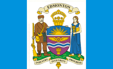
Edmonton — This article is about the capital of Alberta. For other uses, see Edmonton (disambiguation). Edmonton City City of Edmonton … Wikipedia
List of neighbourhoods in Edmonton — Map of Edmonton and adjoining St. Albert and Sherwood Park This is a list of residential neighbourhoods in Edmonton, Alberta, Canada. Unlike the category list, neighbourhoods are grouped geographically so that, to a greater or lesser degree, a… … Wikipedia
La Perle, Edmonton — La Perle is a residential neighbourhood in west Edmonton, Alberta, Canada. The neighbourhood is named for a resident (EJ LaPerle) who operated a general store in the area in the early. 20th century. [From the neighbourhood description in the City … Wikipedia
Belmead, Edmonton — Belmead is a resiential neighbourhood in west Edmonton, Alberta, Canada. Residents in Belmead live just to the west of West Edmonton Mall, the largest shopping centre in Canada.While residential development of the neighbourhood began in the 1960s … Wikipedia
Downtown Edmonton — Coordinates: 53°32′25″N 113°29′54″W / 53.54028°N 113.49833°W / 53.54028; 113.49833 Downtown Edmonton … Wikipedia
Duggan, Edmonton — Location of Duggan in Edmonton Duggan is … Wikipedia
Dickinsfield, Edmonton — This article is about Dickinsfield and the neighbourhoods of Evansdale and Northmount in Edmonton. For other uses of Evansdale, see Evansdale. For other uses of Northmount, see Northmount (disambiguation). Dickinsfield is bounded on the south by… … Wikipedia
Delton, Edmonton — Location of Delton in Edmonton Delt … Wikipedia