- Hulland Ward
-
Coordinates: 53°01′16″N 1°37′19″W / 53.021°N 1.622°W
Hulland Ward 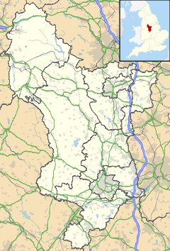
 Hulland Ward
Hulland Ward shown within DerbyshireOS grid reference SK254471 District Derbyshire Dales Shire county Derbyshire Region East Midlands Country England Sovereign state United Kingdom Post town ASHBOURNE Postcode district DE6 Police Derbyshire Fire Derbyshire Ambulance East Midlands EU Parliament East Midlands List of places: UK • England • Derbyshire Hulland Ward is a village and civil parish in the Derbyshire Dales district of Derbyshire roughly 7 miles west of Belper, Derbyshire England on the A517 road. The parish includes the hamlets of Biggin, Nether Biggin and Millington Green. Hulland Ward itself contains about 400 houses and has a population of just under 1000 inhabitants.
In the Domesday Survey it is listed as Hoilant in the care of Geoffrey d'Alselin. It was part of the lands bestowed upon Henry de Ferrers after the Norman Conquest, and became part of Duffield Frith, with two enclosed royal parks - Mansell Park and Ravensdale Park. The latter is now a civil parish in its own right.[1]
One of the earliest ore-stamping mills was built at Hulland Ward by Burchard Kranich in 1556.
References
- ^ Turbutt, G., (1999) A History of Derbyshire. Volume 2: Medieval Derbyshire, Cardiff: Merton Priory Press
External links
Categories:- Villages in Derbyshire
- Towns and villages of the Peak District
- Civil parishes in Derbyshire
- Derbyshire geography stubs

Wikimedia Foundation. 2010.