- Miette River
-
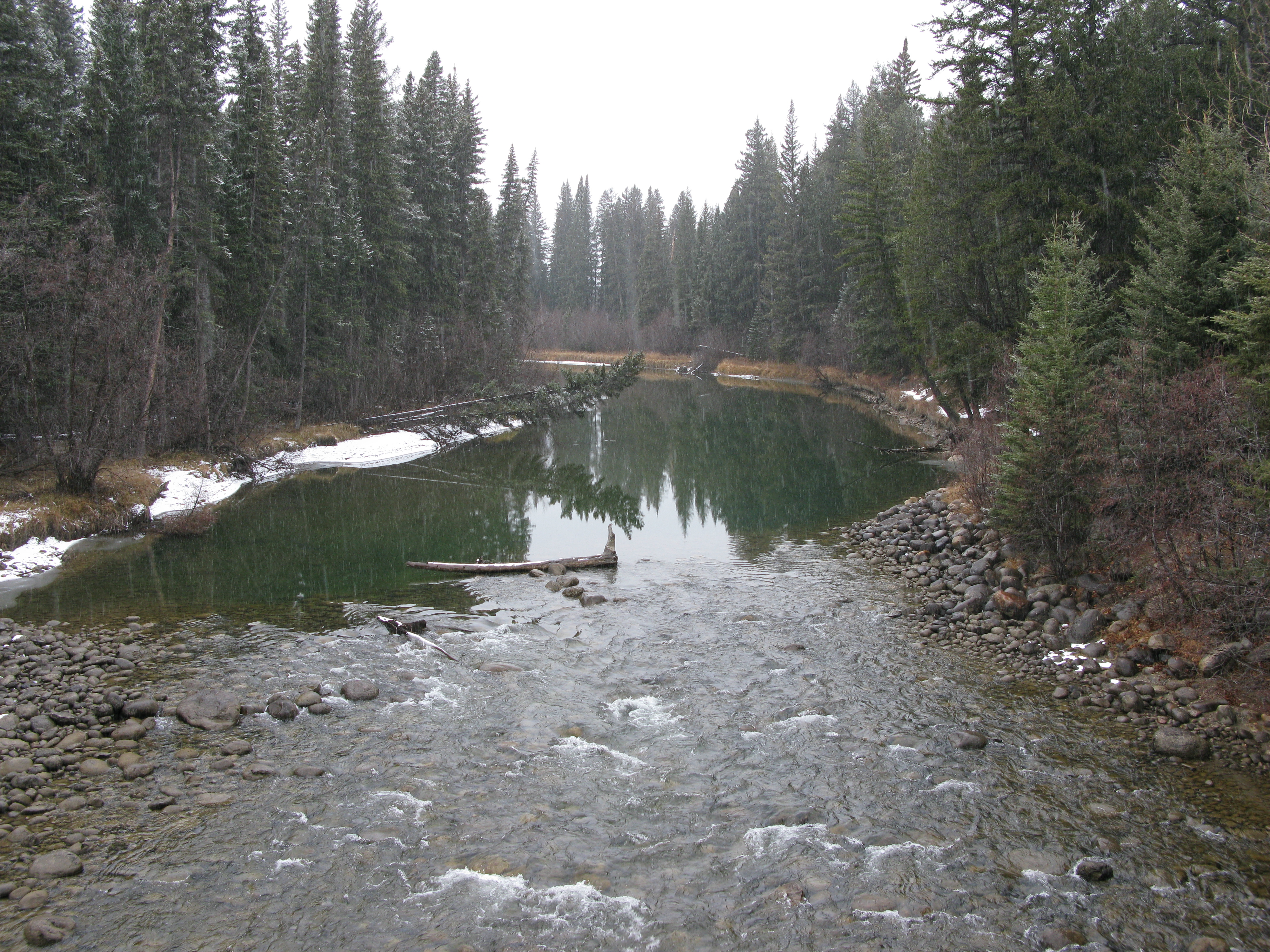
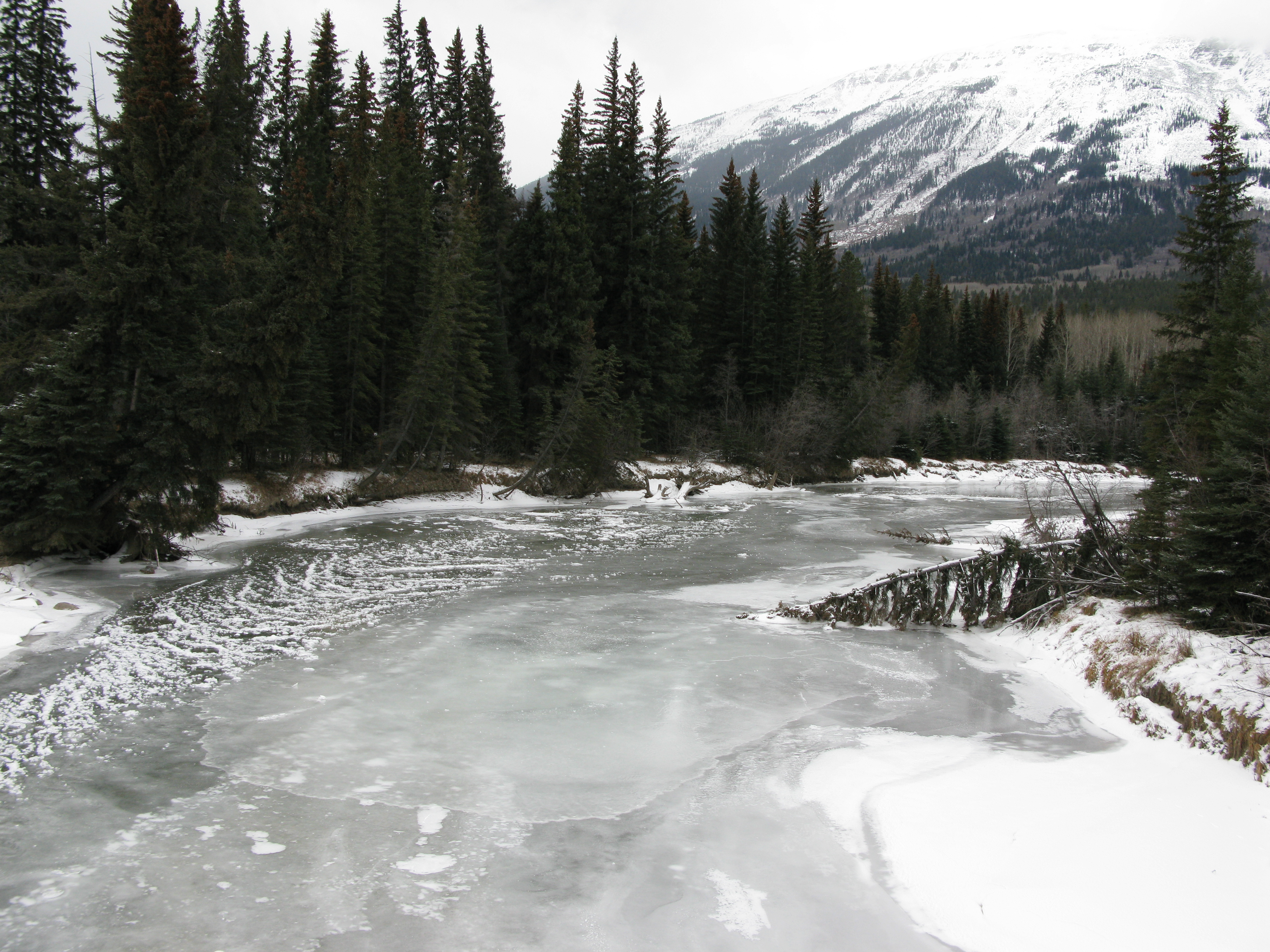
Miette River 
The Miette River before its confluence with the Athabasca RiverOrigin Miette Pass
52°57′18″N 118°35′02″W / 52.955°N 118.58389°WMouth Athabasca River
52°51′55″N 118°04′12″W / 52.86528°N 118.07°WBasin countries  Alberta
  Canada
Source elevation 1,643 m (5,390 ft) Mouth elevation 1,321 m (4,334 ft) 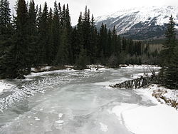 The Miette River before its confluence with the Athabasca River
The Miette River (pronounced /ˈmaɪ.ɛt/ or /maɪˈɛt/) is a short river in Jasper National Park, Alberta, Canada. It flows south-southwest through the Rocky Mountains before draining into the Athabasca River.
The Miette forms at the base of Mount Moren, with meltwater from Mount Bridgeland, Salient Mountain, Mount McCord, and Mount Beaupre contributing to the initial flow.
The Miette River, as well as various other geological features in Jasper National Park, are named after the Cree Indian word for 'mountain sheep.' [1]
Tributaries
- Rink Brook
- Clairvaux Creek
- Minaga Creek
- Muhigan Creek
See also
- List of Alberta rivers
References
- ^ Karamitsanis, Aphrodite (1991). Place Names of Alberta, Volume 1. Calgary: University of Calgary Press, pg. 164-165
Hydrography of Alberta Rivers 
Waterfalls Lakes Reservoirs Glaciers Other - Peace–Athabasca Delta
Categories:- Rivers of Alberta
- Jasper National Park
- Alberta geography stubs

Wikimedia Foundation. 2010.