- Duaringa, Queensland
-
Duaringa
Queensland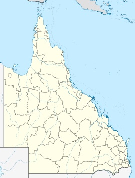
 Duaringa
Population: 247 (2006 Census)[1] Postcode: 4712 Location: - 703 km (437 mi) from Brisbane
- 113 km (70 mi) from Rockhampton
- 159 km (99 mi) from Emerald
LGA: Central Highlands Regional Council State District: Gregory Federal Division: Flynn Duaringa is a small town (pop. 500) in central Queensland, Australia. The town lies on the Capricorn Highway, 116 kilometres west of Rockhampton. At the 2006 census, Duaringa had a population of 247.[1]
Duaringa was previously the administrative centre of the former Duaringa Shire Council, which became a part of the Emerald-based Central Highlands Regional Council upon amalgamation in March 2008.
Although small in size, the town has a police station and courthouse, ambulance station, a hotel, post office and newsagency, a primary school, three churches, a sports complex, and a library.
Duaringa previously had a general store and butcher shop, but both closed down in the mid 1990s. There was also a railway station but apart from the platform, it hadn't been used for years and it was removed in 2007. After the removal, Queensland Rail upgraded the platform facilities for local passengers wishing to use the Spirit Of The Outback rail service which operates between Brisbane and Longreach.
The Dawson and Mackenzie Rivers flow to the east and north of the town respectively. Duaringa suffers from periodic droughts and floods, and experiences summer temperatures as high as 45 degrees Celsius.
Duaringa is a significant centre for Aboriginal peoples and there is a former reservation[disambiguation needed
 ] at Woorabinda. Indigenous people were granted small parcels of land under Queensland native title legislation. There are Aboriginal rock art sites at Carnarvon National Park, south-west of Duaringa.
- How Duaringa got its name
There are three versions on how the town came to be named Duaringa. The first reasoning behind the name is that it is derived from a word in the aboriginal language used in the Burnett River area - 'djuaringe', possibly meaning to turn oneself around.
The second possibility is that the name is derived from the aboriginal words 'D'warra D'nanjie', meaning a meeting place on the swamp oaks. This is the most popular theory, and is in fact the official origin of the name Duaringa.
References
- ^ a b Australian Bureau of Statistics (25 October 2007). "Duaringa (L) (Urban Centre/Locality)". 2006 Census QuickStats. http://www.censusdata.abs.gov.au/ABSNavigation/prenav/LocationSearch?collection=Census&period=2006&areacode=UCL318000&producttype=QuickStats&breadcrumb=PL&action=401. Retrieved 7 May 2011.
- ^ Duaringa Shire - 100 Years of Local Government 1881-1981
External links
Towns in the Central Highlands Region, Queensland Anakie · Bauhinia · Blackwater · Bluff · Bogantungan · Capella · Comet · Dingo · Duaringa · Emerald · Fernlees · Gindee · Rolleston · Rubyvale · Sapphire · Springsure · The Willows · Tieri · Withersfield · Yamala
Main Article: Local Government Areas of QueenslandCoordinates: 23°44′S 149°40′E / 23.733°S 149.667°E
Categories:- Towns in Queensland
- Australian Aboriginal placenames
- Queensland geography stubs

Wikimedia Foundation. 2010.