- Circle Drive
-
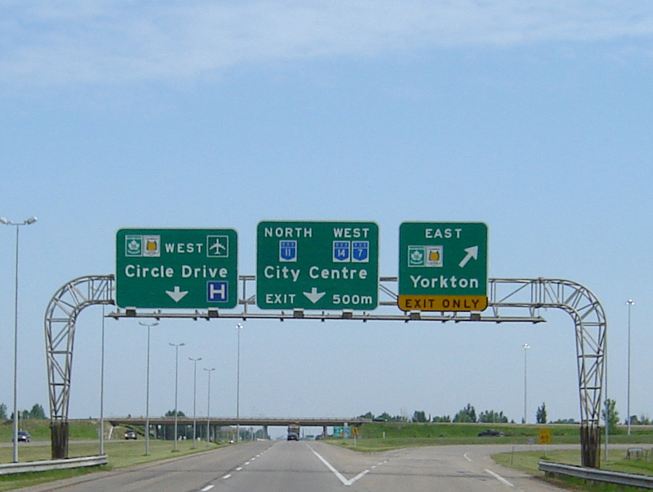
Circle Drive 
Location: Saskatoon, Saskatchewan Circle Drive is a major road constructed as a ring road in Saskatoon, Saskatchewan, Canada. The northeastern portion of the road is part of the Yellowhead Highway.
Contents
History
Construction of a ring road in Saskatoon was first proposed in 1913 by city commissioner Christopher J. Yorath. He conceived the first comprehensive town plan, which included inner and outer "encircling boulevards". Parts of the present-day roadway follow the course Yorath laid out.[1] It wasn't until the 1950s as the city expanded outward that the present roadway corridor was established. Circle Drive was built in sections, as required by traffic conditions and allowed by available funding. The first sections - the northwest segment between Warman Road and 11th Street West and the southeast segment between Lorne Avenue and College Drive - were constructed beginning in the 1960s, concurrent with the Idylwyld Freeway project. The last major section of the roadway that was constructed was in the northeast quadrant, from College Drive to Millar Avenue. This included the construction of the Circle Drive Bridge across the South Saskatchewan River, completed in 1983.
South bridge
 Future site of the Idylwyld Drive and Circle Drive South Interchange
At present, Circle Drive does not form a complete ring around the city. The last remaining section between 11th Street West and Lorne Avenue, referred to as the "South River Crossing" or (Circle Drive South Bridge), is currently under construction. Approximately 7 km in length, it will connect the C.N. Industrial area to the Holiday Park neighbourhood, travelling through property annexed from the Saskatoon Golf and Country Club.[2][3] It includes a new bridge across the South Saskatchewan River, located just north and parallel to the Grand Trunk Bridge.[4][5]
The bridge will have six traffic lanes and a pedestrian walkway suspended underneath, similar to the existing Circle Drive Bridge. National and provincial funding each amounted to $172 million and the City of Saskatoon committed $70.5 million towards the project.[6] The total cost of the project is estimated at $272.5 million.[4]
The City of Saskatoon hired a private contractor to build the bridge. Three companies submitted proposals: PCL Construction, Peter Kiewet Sons and Graham Construction/Flatiron.[7] The Graham/Flatiron bid was selected on March 29, 2010. Construction is expected to be complete by September 30, 2012.[4] As of January 2011, the project was on schedule, according to the city manager.[8] The completion date was again confirmed by the project manager in September 2011.[9]
Environment Canada and Fisheries and Ocean will oversee environmental impacts on the river. There will be two new proposed interchanges, one at Valley Road and the other at 11th Street West which will utilise some of the land area given up by the Maple Leaf Foods building demolition in 2010.[7]
The Holiday Park golf course will need to re-landscape two holes on the golf course, as holes 6 and 7 will be affected. Another possible impact of the project is a new rail switching yard near 11th Street and Dundonald Avenue. In 2010, the City of Saskatoon signed a non-binding agreement in principle with the Canadian National Railway and Canadian Pacific Railway to move railcar switching out of the downtown Central Industrial neighbourhood.[10]
Interchanges
 Clarence Avenue/Circle Drive interchange
As of 2004, the Circle Drive Bridge portion of the road was carrying up to 50,000 vehicles per day, more than twice the volume from when it opened.[11] Due to the greatly increased traffic the bridge was significantly expanded in 2007.[12] Over the years, a number of at-grade intersections were converted to grade-separated interchanges to improve traffic flow.[13] They include:
- Idylwyld Drive North (formerly known as Avenue A) - 1960s
- 33rd Street - November 10, 1980 (expanded in summer 1992)
- Warman Road - July 1, 1983 (coinciding with the opening of Circle Drive Bridge)
- Taylor Street - September 16, 1996
- 8th Street - October 31, 1999 - initially constructed as a large traffic circle, this traffic control device proved unpopular and was eventually replaced by an interchange.
- Attridge Drive/Preston Avenue North - October 1, 2001
- 22nd Street - October 28, 2002
- College Drive - October 4, 2006
- Clarence Avenue - November 20, 2007
- Preston Avenue - projected 2012[14]
There are also purpose-built half-diamond interchanges at 14th Street East and 108th Street, and a cloverleaf interchange at highways 11 and 16. Between Miller Avenue and Avenue C North, Circle Drive downgrades from a freeway to an arterial road, with regular signalized intersections and driveway-accessed businesses.
The present terminal points at 11th Street West and Lorne Avenue are slated to become interchanges as part of the South River Crossing project. The federal government committed $70 million in 2007 for the Lorne Avenue and Idylwyld interchanges. The city has allocated $37 million for land and its share of the new interchange.[6]
Exits and intersections
This is a diagram of present and proposed exits and intersections on Circle Drive, from where Circle Drive presently ends at 11th Street:
Circle Drive Exits 
Entering the City of Saskatoon 
Continues as Dundonald Avenue past this point 
11th Street W Interchange planned 

Clancy Drive (alternate route to Pendygrasse Road) 


Confederation Drive to Highway 7/Highway 14 (22nd Street SW) Northbound exit, southbound entrance only 


Fairmont Drive to 22nd Street W eastbound from SB Circle Drive Southbound exit only 


22nd Street W eastbound offramp merges with Circle Drive northbound; exit from SB on-ramp to Fairmont Drive via Fairlight Drive 


Highway 7/Highway 14 (22nd Street SW); Fairmont Drive merges with westbound 22nd Street 


22nd Street W westbound offramp merges with Circle Drive northbound; Exit to 22nd Street W westbound from Circle Drive southbound 
Confederation Drive northbound from Circle Drive southbound Laurier Drive (alternate route to Confederation Drive) 
33rd Street W Airport Drive to Saskatoon John G. Diefenbaker International Airport 
Avenue C N - Becomes arterial road at this point Highway 16/Saskatchewan Highway 11 (Idylwyld Drive) Highway 16 enters Circle Drive; Diamond interchange with intersections on Circle Drive Millar Avenue/Venture Crescent Continues as freeway past this point Warman Road 
Circle Drive Bridge over South Saskatchewan River 

Alternate exit to Preston Avenue southbound 
Preston Avenue/Attridge Drive 
108th Street Northbound entrance, southbound exit only College Drive 14th Street Northbound entrance, southbound exit only 8th Street E Taylor Street E 

Continues as Highway 11 south to Regina; Circle Drive continues west from this interchange Highway 16 exits Circle Drive and proceeds east towards Portage la Prairie 

Preston Avenue Clarence Avenue 

Currently continues as Idylwyld Drive; proposed extension of Circle Drive will begin here at an interchange 
Circle Drive South Bridge over South Saskatchewan River New bridge, under construction Valley Road New interchange planned 11th Street W Interchange planned Current alignment of Circle Drive continues past this point References
- ^ Kerr, Don; Stan Hanson (1982). Georgina Lewis. ed. Saskatoon: The First Half-Century. NeWest Press. p. 286. ISBN 0-920316-37-9.
- ^ "Circle Drive South Bridge". http://www.borealisoutdoor.com/content/news/20050210_SaskatoonSouthBridge.htm. Retrieved 2008-12-24.
- ^ "River Crossing Studies". City of Saskatoon. http://www.saskatoon.ca/DEPARTMENTS/Infrastructure%20Services/Transportation/TransportationPlanning/River%20Crossing%20Studies/Pages/default.aspx. Retrieved 2010-11-04.
- ^ a b c "Circle Drive South Project". City of Saskatoon. http://www.saskatoon.ca/DEPARTMENTS/Infrastructure%20Services/Transportation/TransportationPlanning/Pages/CircleDriveSouthProject.aspx. Retrieved 2010-11-04.
- ^ "Circle Drive South River Crossing - Complete Alignment" (PDF). City of Saskatoon - Infrastructure Services. March 12, 2009. http://www.saskatoon.ca/DEPARTMENTS/Infrastructure%20Services/Transportation/Documents/CDSRC_Complete_Alignment.pdf. Retrieved 2009-12-08.
- ^ a b Nickel, Rod (June 21, 2008). "Bridge builders". The StarPhoenix: pp. A1. http://www.canada.com/saskatoonstarphoenix/news/story.html?id=6e47c3aa-b24e-4bae-86cc-dba027954d3b. Retrieved 2010-11-04.
- ^ a b Hutton, David (2009-05-30). "Builders to receive details on bridge project". Saskatoon: Saskatoon Star Phoenix. pp. A1, A4, continued on A7 with map. http://www2.canada.com/saskatoonstarphoenix/news/story.html?id=4faa5219-57a0-441a-af1c-4d296a868c11. Retrieved 2010-11-04.
- ^ Hutton, David (January 11, 2011). "Massive freeway project on time". The StarPhoenix (Postmedia Network). http://www.thestarphoenix.com/news/Massive+freeway+project+time/4089379/story.html. Retrieved 2011-01-11.
- ^ Hutton, David (September 28, 2011). "Massive project rises from the ground". The StarPhoenix (Postmedia Network). http://www.thestarphoenix.com/Massive+Saskatoon+project+rises+from+ground/5468082/story.html. Retrieved 2011-09-28.
- ^ Hutton, David (June 23, 2009). "City, CP agree to study move of downtown yard". The StarPhoenix (Canwest): p. A3. http://www.okthepk.ca/dataCprSiding/news/2009/09062406.htm. Retrieved 2010-11-04.
- ^ "(pdf) Circle Drive South River Crossing, Questions and Answers" (PDF). City of Saskatoon. June 2004. Archived from the original on October 12, 2007. http://web.archive.org/web/20071012141113/http://www.saskatoon.ca/org/municipal_engineering/river_crossings/SC_questions_answers.pdf. Retrieved 2007-11-28.
- ^ "Circle Drive Widening". City of Saskatoon. http://www.saskatoon.ca/org/municipal_engineering/construction/Circle_widening/index.asp. Retrieved 2007-11-29.
- ^ "The City of Saskatoon Municipal Manual 2007" (PDF). City of Saskatoon. Archived from the original on October 26, 2007. http://web.archive.org/web/20071026085734/http://www.saskatoon.ca/org/clerks_office/municipal_manual.pdf. Retrieved 2007-12-12.
- ^ "Circle Drive and Preston Avenue Interchange Information Session on October 19". City of Saskatoon. http://www.saskatoon.ca/FORUM/News%20Releases/Pages/CircleDriveandPrestonAvenueInterchangeInformationSessiononOctober19.aspx. Retrieved 2010-11-04.
External links
Categories:- Streets in Saskatoon
- Orbital roads in Canada


Wikimedia Foundation. 2010.