- Namtok Kaeng Song
-
Kaeng Song Waterfall 
Location Wang Thong district, Phitsanulok Province, Thailand Coordinates 16°51′59″N 100°37′56″E / 16.86639°N 100.63222°E Watercourse Wang Thong River Namtok Kaeng Song (Thai: น้ำตกแก่งซอง) is a waterfall and tourist attraction in the Wang Thong district of Phitsanulok Province in Thailand. This waterfall is situated on the Wang Thong River off Lomsak Road (Highway 12) at kilometer 45. The falls have small pavilions to accommodate tourists, and concessions are sold on the premises. Tire tubes are also available for swimming in the river near the falls.
Events
In June, 2005, Phitsanulok Province initiated a campaign entitled "Sip Coffee at Kaeng Song, Paddle Along Nam Khek Rapids," and held the first Kaeng Song Coffee Tasting Festival to celebrate the opening of the rafting season as well as to promote a regional specialty, coffee. The next such festival was held from July 7 through the end of October, 2006. This year the festival is being held from July 1, 2007 through October 31, 2007 under the name "Kaeng Song Cafe - Khek river rafting festival."
Gallery
-

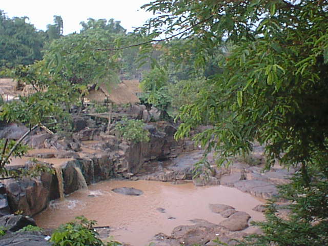
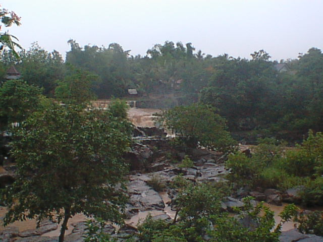
Namtok Kaeng Song
-

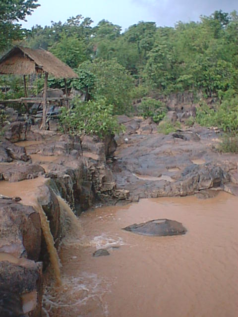
Namtok Kaeng Song
-
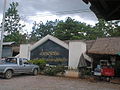
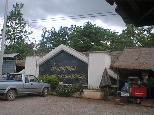
Sign at Entrance to Namtok Kaeng Song
-
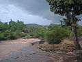
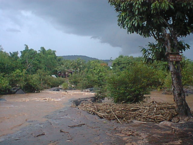
Rapids at Namtok Kaeng Song
-

Tire Tubes at Namtok Kaeng Song
-
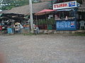
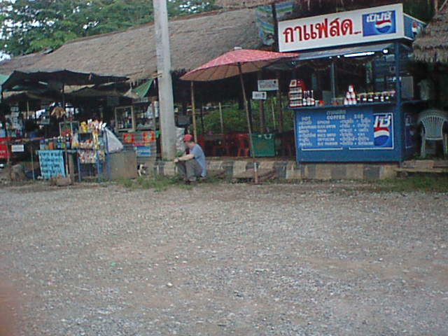
Concession Stands at Namtok Kaeng Song
External references
- Coffee Tasting Festival and Khek River Rafting Festival in Thailand
- White Fright Water
- Kaeng Song Cafe - Khek river rafting festival
Categories:- Waterfalls of Thailand
- Phitsanulok Province
- Phitsanulok Province geography stubs
-

Wikimedia Foundation. 2010.