- Marconnelle
-
Marconnelle

 MarconnelleLocation within Nord-Pas-de-Calais region
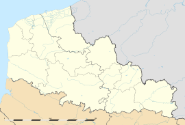 Marconnelle
Administration Country France Region Nord-Pas-de-Calais Department Pas-de-Calais Arrondissement Montreuil Canton Hesdin Intercommunality Communauté de communes de l'Hesdinois Mayor Bernard Guilluy Statistics Elevation 22–133 m (72–436 ft)
(avg. 81 m/266 ft)Land area1 5.55 km2 (2.14 sq mi) Population2 1,309 (2006) - Density 236 /km2 (610 /sq mi) INSEE/Postal code 62550/ 62140 1 French Land Register data, which excludes lakes, ponds, glaciers > 1 km² (0.386 sq mi or 247 acres) and river estuaries. 2 Population without double counting: residents of multiple communes (e.g., students and military personnel) only counted once. Coordinates: 50°22′30″N 2°02′15″E / 50.375°N 2.0375°E
Marconnelle is a commune in the Pas-de-Calais department in the Nord-Pas-de-Calais region of France.
Contents
Geography
Marconelle is a large suburb of Hesdin, situated 13 miles (21 km) southeast of Montreuil-sur-Mer, on the D349 road.
Population
Population history 1962 1968 1975 1982 1990 1999 2006 977 986 1239 1489 1334 1312 1309 Census count starting from 1962: Population without duplicates Places of interest
- The church of Saint-Croix, dating from the eighteenth century.
See also
References
External links
- Marconnelle on the Quid website (French)
Categories:- Communes of Pas-de-Calais
- Pas-de-Calais geography stubs


Wikimedia Foundation. 2010.