Obira, Hokkaidō

Obira, Hokkaidō
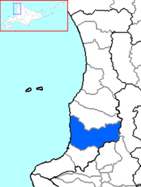
The location of Obira in Rumoi Subprefecture.
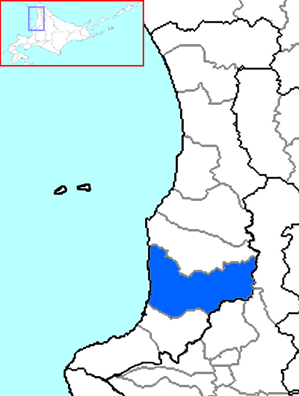
Obira (小平町 Obira-chō?) is a town located in Rumoi District, Rumoi, Hokkaidō, Japan.

As of 2007, the town has an estimated population of 4,010 and a density of 6.91 persons per km². The total area is 627.29 km².

External links

Coordinates: 44°1′N 141°40′E / 44.017°N 141.667°E / 44.017; 141.667


Wikimedia Foundation. 2010.

Игры ⚽ Поможем написать курсовую

Look at other dictionaries:

  • Obira (Hokkaidō) — Obira chō 小平町 …   Deutsch Wikipedia

  • Obira — For the town in Japan, see Obira, Hokkaidō. Obi Island Geography Location South East Asia Coordinates …   Wikipedia

  • Hokkaidō — 北海道 Präfektur Hokkaidō Basisdaten Verwaltungssitz: Sapporo Regi …   Deutsch Wikipedia

  • Tomamae (Hokkaidō) — Tomamae chō 苫前町 …   Deutsch Wikipedia

  • Mashike (Hokkaidō) — Mashike chō 増毛町 …   Deutsch Wikipedia

  • Haboro (Hokkaidō) — Haboro chō 羽幌町 …   Deutsch Wikipedia

  • Tomari (Hokkaidō) — Tomari mura 泊村 …   Deutsch Wikipedia

  • Embetsu (Hokkaidō) — Embetsu chō 遠別町 …   Deutsch Wikipedia

  • Erimo (Hokkaidō) — Erimo chō えりも町 …   Deutsch Wikipedia

  • Rishiri (Hokkaidō) — Rishiri chō 利尻町 Geographische Lage in Japan …   Deutsch Wikipedia

Share the article and excerpts

Direct link
Do a right-click on the link above
and select “Copy Link”