- Colorado State Highway 94
-
State Highway 94
Route information Maintained by CDOT Length: 85.57 mi[1] (137.71 km) Major junctions West end:  US 24 near Colorado Springs
 SH 71 at Punkin Center
East end: 
 US 40 / US 287 near Wild Horse
Location Counties: El Paso, Lincoln, Cheyenne Highway system ←  SH 92
SH 92SH 95  →
→State Highway 94 is an 85.5-mile (137.6 km) long east–west Colorado state highway that goes east beginning from US 24 just east of Colorado Springs and ending at U.S. Highway 40/U.S. Highway 287 in rural Cheyenne County west of Wild Horse. The highway serves Schriever Air Force Base and the towns of Ellicott, Yoder, and Rush, where it then crosses through rural country. It also serves the Punkin Center area where it comes to a junction with SH 71. It then passes through more very rural country until it reaches a stop at US 40/287 west of the unincorporated town of Wild Horse.
Throughout most of its length, the highway runs due east–west, pointing exactly at Pikes Peak. Under good conditions, the peak can be seen as far east as the rise between mileposts 78 and 79.
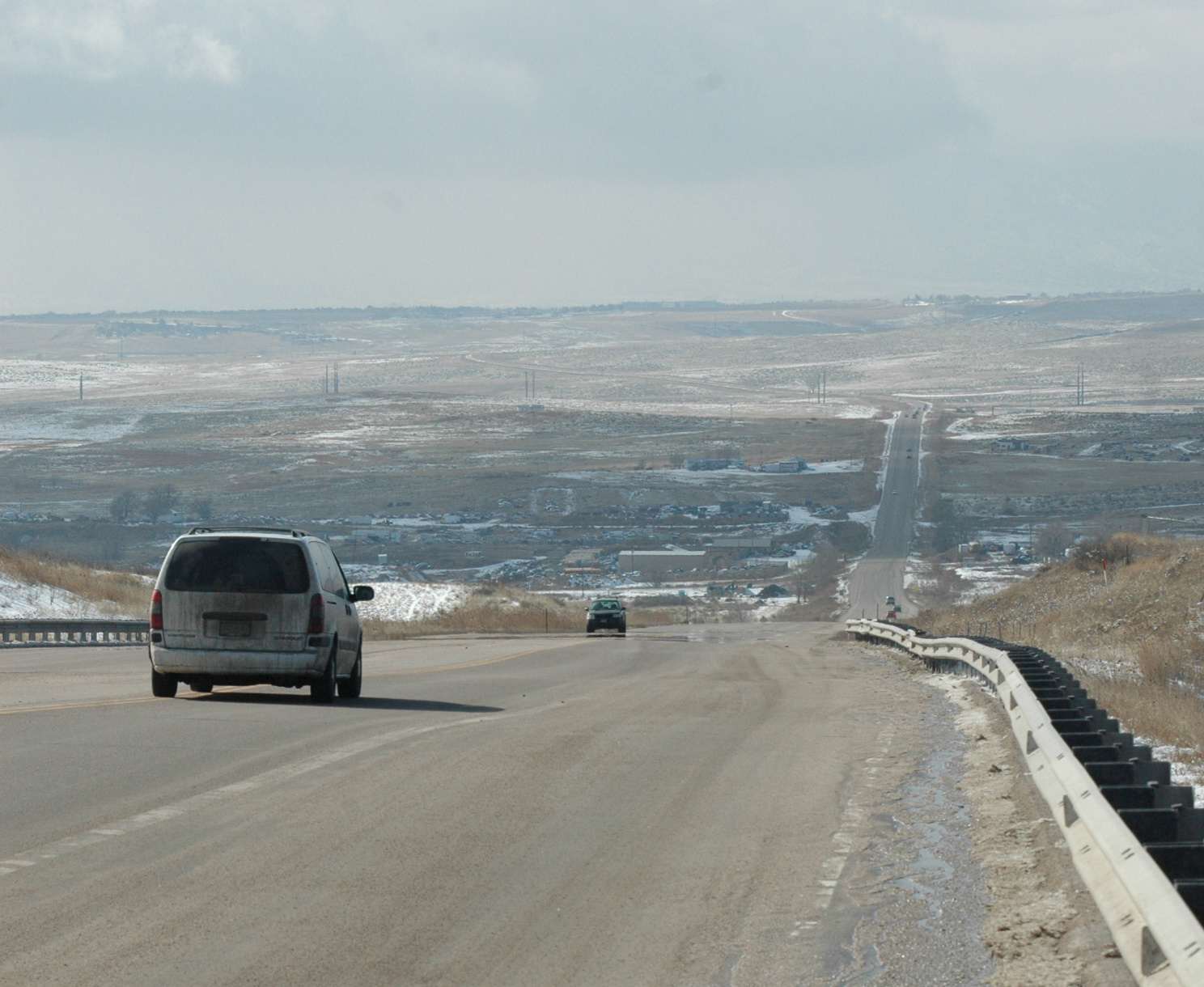
"Garbage Hill" gets its name from the Colorado Springs landfill located north of the highway. Originally, the entrance to the landfill was partway up the hill, but currently the entrance is from Blaney Road at the top of the hill. At the bottom of the hill, which is the eastern side of Jimmy Camp Creek valley, there are wrecking yards and two motocross tracks. This hill is one of the most severe hills on Highway 94, having a climbing lane.
History
The route was established in the 1920s, with the eastern end swerving north then east, ending at Boyero. By 1954, the eastern end no longer swerved north, and by 1970 the eastern end was extended to US 40/287 near Aroya with the entire highway paved.[2]
Major intersections
 Looking west down "Garbage Hill" several miles outside Colorado Springs.

County Location Mile[3] Destinations Notes El Paso Colorado Springs 0.0 US 24 – Colorado Springs, FalconWestern terminus of SH 94 0.4 Marksheffel Road – Peterson Air Force Base Traffic light 1 To US 24 / Space Village Avenue 6.5 Blaney Road Top of "Garbage Hill" Schriever Air Force Base 7.5 Curtis Road – alternate access to Schriever Traffic light
A sign "Delivery trucks access via Irwin Lane"8.5 Enoch Road – main access to Schriever Traffic light
Turnoff using exit/entrance ramps south on Enoch Road to West Gate12.5 Peyton Highway – Peyton Ellicott 15.5 Log Road – Colorado Springs East Airport 16.5 Ellicott Highway No motorist services for 95 miles heading east on SH 94 23 Calhan Highway – Calhan Yoder 25.5 Yoder Road Rush 31 Rush Road Lincoln Hall Station 45 County Road 11 Punkin Center 54.5 SH 71 – Limon, Ordway63.5 County Road 29 – Karval 66.5 County Highway 109 – Hugo, Karval Cheyenne Aroya 85 County Road U/39/44 – Boyero, Aroya Union Pacific Railroad crossing 86 County Road 2 – JOD Ranch 86 US 40 / US 287 – Hugo, Wild HorseEastern terminus of SH 94
No motorist services for 70 miles heading west on SH 94References
- ^ "Segment list for SH 94". http://www.dot.state.co.us/app_DTD_DataAccess/Highways/index.cfm?fuseaction=Description&route=094&begRefPt=0&endRefPt=500&Printable=true. Retrieved 2007-08-18.
- ^ Salek, Matthew E.. "Colorado Routes 80-99". http://www.mesalek.com/colo/r80-99.html#94. Retrieved 04-11-2010.
- ^ Colorado Department of Transportation, Highway Data, accessed October 2007: note that not every interval between mileposts is exactly a mile, explaining why more exits than expected are at the exact milepost
Categories:- State highways in Colorado
- Transportation in Cheyenne County, Colorado
- Transportation in Lincoln County, Colorado
- Transportation in El Paso County, Colorado


Wikimedia Foundation. 2010.