- Zama Station
infobox japan station
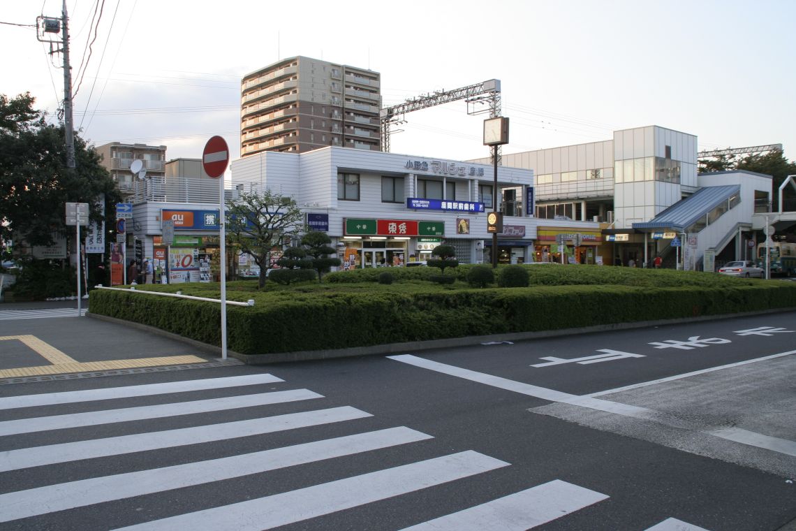
caption=East Entrance
name=座間
namerom=Zama
pref=Kanagawa
district=
city=Zama
open=1927
close=
presentname=1941
line=Odakyu Odawara Line
operator=Odakyu Electric Railway
bus=yZama Station (座間駅) is a station located in
Zama, Kanagawa ,Japan . This station was opened in 1927 byOdakyu Electric Railway and is as of 2007. [ [http://ja.wikipedia.org/wiki/座間駅 Japanese wikipedia for Zama Station] ]Lines
*
Odakyu Electric Railway
**Odakyu Odawara Line Building
The Station has 2 side platforms and 2 tracks
Platforms
###@@@KEYEND@@@### [ [http://www.odakyu.jp/guide/station/zama_map_3d.html Map of Zama Station] ]
urroundings
West Entrance
* Hoshigaya
Temple
* Nashi-no-ki ruins
* City building (branch)
* ZamaOphthalmology
*Lawson Zama station storeThe following locations may take more than 10 minutes on foot
* Suzukamyō
shrine
* Iriya Elementary School
* ZamaHigh school
* ZamaSpecial school
* JA Sagami Zama
* Uni Zama store (department store)
*Mos Burger Zama store
*McDonald's Zama shop
* Lawson Zama Iriya store
*Circle K Zama Iriya store (convenience store)
* Bunkyodo Books Zama Iriya store
* ZamaPolice station
* JR Sagami LineIriya Station East Entrance
*
Odakyu OX
*Doutor Coffee Zama Station store
*Mister Donut Zama Station store
* Origin Bento Zama Station store
*Bunkyodo Books Zama Station store
*Three F Zama Station store (convenience store)
* Yatoyama prefecture park
*Bank of Yokohama Zama Station branch
*Risona Bank Ebina branch ATM
* Hiratsuka Bank Zama branch
* Zama StationPost office
* Shirakazedentistry
* UchiyamaSurgery ・Orthopaedics
*au (mobile phone operator) shop Zama [ [http://bukken.chizumaru.com/frame/frame.asp?account=100006&mtype=store&whichID=IDnum&ID=eki-zama Map of the surroundings of the station] ]
=Buses=West Entrance
:*Zama Station Entrance::*
Kanagawa Chūō Transportation , Zama Community Bus:::*City building branch (ZCB):::* Main city building (ZCB):::* Ebina Station East Entrance (Kanachu):::* Sobudai-mae Station (through Tatsunodai) (Kanachu) East Entrance
:*Zama Station::*Kanagawa Chūō Transportation:::*
Sobudai-shita Station :::*Zama-Yotsuya:::* Sobudai-mae Station (through Tatsunodai):::* Sagamino Station North Entrance (through Tatsunodai) [ [http://dia.kanachu.jp/bus/viewtop Route for Kanachu buses] ]History
*
1927 - The station opens as Shin-Zama Station.
*1937 - The station is renamed to Zama-Yuen Station
*1941 - The station is again renamed to Zama Station
*1946 - Promoted to Semi-Express stop
*1960 - Promoted to Commuter Semi-Express stop (later discontinued)
*1978 - The building is completed, and starts operating
*2004 - Promoted to Section Semi-Express stopNaming
When the station started operating, the current
Sobudai-mae Station was named Zama Station, so the station was originally named Shin-Zama Station. Later on, Odakyu planned to make an amusement park near the station, so thus it was renamed to Zama-Yūen Station. However in 1941,World War II started, and Odakyu withdrawed the plan to make the park. Since they no longer were building the park, the station was renamed to the current name.Adjacent stations
[ [http://www.odakyu.jp/guide/railmap/index.html Adjacent station map] ]
###@@@KEYEND@@@###References
ee also
*
List of railway stations in Japan
Wikimedia Foundation. 2010.