- Meares Island
-
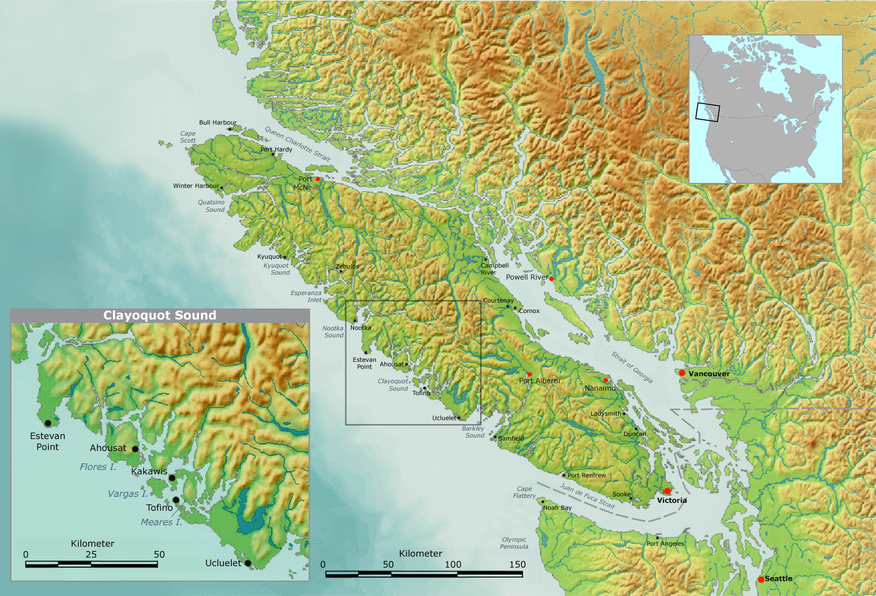
 Map showing the location of Meares Island
Meares Island is one of the many islands surrounding the Village of Tofino, British Columbia, Canada. Its name was given in 1862 by George Henry Richards, captain of HMS Hecate, in honor of John Meares.[1] The island is located in the Clayoquot Sound region and is the location of Opitsat, the main village of the Tla-o-qui-aht First Nations, and was the location of Fort Defiance, a short-lived American fur-trading post founded by Captain Robert Gray.
An attraction for tourists visiting Tofino is the Big Tree Trail, the small section of Meares Island that contains a boardwalk that features some of the tallest trees in British Columbia.[citation needed] It is a spectacular site for photography and has been viewed in many nature publications and television.
Meares Island is reachable by boat or water taxi.
Meares Island became historically significant shortly after 1984, when the Nuu-chah-nulth began protesting forestry giant MacMillan Bloedel's potential harvesting activities. The Nuu-chah-nulth, with significant cooperation from environmental groups, eventually erected a blockade, preventing MacMillan Bloedel from logging the island. Both sides pursued legal action, and the court ruled that since the Nuu-chah-nulth had claimed that this was part of their traditional territory, until that claim was resolved, no development could occur on the whole of Meares Island. This essentially granted an injunction in favour of the Nuu-chah-nulth, which was the first time in British Columbia's history that the province had been overruled on a land claims issue.[citation needed]
References
- ^ Walbran, John T. (1909). British Columbia coast names, 1592-1906 : to which are added a few names in adjacent United States territory, their origin and history. Ottawa Government Printing Bureau. pp. 332–334. OCLC 317633225. http://www.nosracines.ca/e/page.aspx?id=736899.
External links
- Meares Island, BCGNIS
Categories:- Islands of British Columbia
- Geography of Vancouver Island
- Clayoquot Sound region
- British Columbia geography stubs
Wikimedia Foundation. 2010.