- Tarmonbarry
-
Termonbarry
Tearmann Bearaigh— Town —  Location in Ireland
 Termonbarry
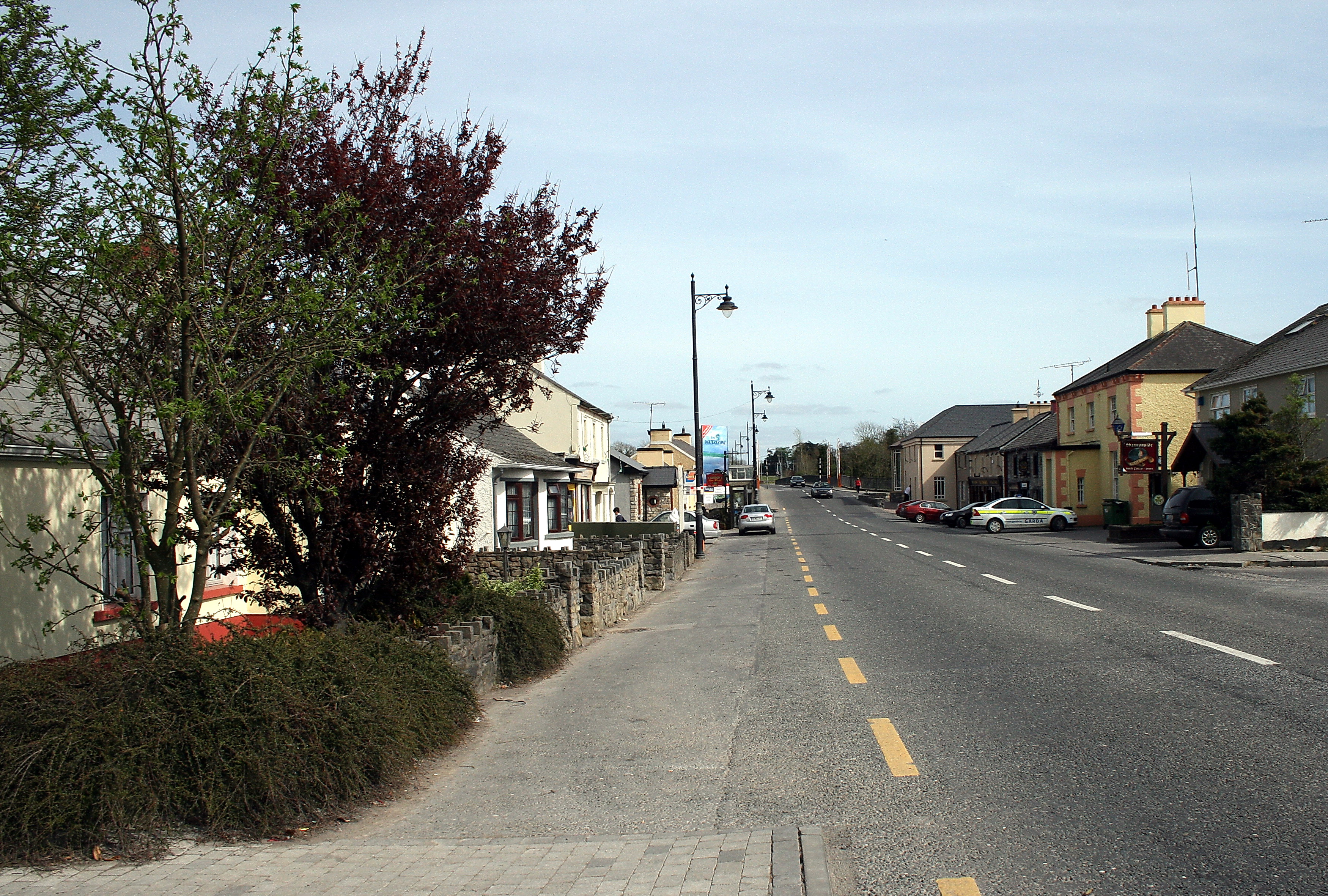
Coordinates: 53°45′N 7°55′W / 53.75°N 7.917°WCoordinates: 53°45′N 7°55′W / 53.75°N 7.917°W Country Ireland Province Connacht County County Roscommon Population (2006) – Urban 518 Time zone WET (UTC+0) – Summer (DST) IST (WEST) (UTC-1) Irish Grid Reference Tarmonbarry, officially Termonbarry (Irish: Tearmann Bearaigh, meaning "St Barry's sanctuary"),[1] is a village in County Roscommon, Ireland. It is located where the N5 National primary route crosses the River Shannon. East of the bridge part of the village lies in County Longford. The 2002 Census stated that the village had less than 100 people. The 2006 Census saw that number rise to 518. This is in no small part to the Rural Renewal Tax Scheme which affects the area. The village is less than ten minutes drive from the county town of Longford which is situated a few kilometres east of the village.
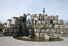 Shrine in Termonbarry on the N5
The village originates from an abbey founded by saint Berach in the 6th century[2]—the name of the village in Irish means roughly "Berach's sanctuary". It has four pubs Crosby's,Keenan's, The Shannon Bar and The Lodge. It has two shops including a petrol station with ATM, a marina, restaurants, a Garda Station, a GAA pitch, an art gallery and a solicitor's practice. Keenan's also has a restaurant attached. Next door to Keenan's is another pub/restaurant called The Purple Onion.
Foot.ie
The town has also been adopted by Foot.ie as its spiritual homeplace after an Irish football thread inexplicably became a shrine to the village[3]
See also
References
- ^ Placenames Database of Ireland: Termonbarry/Tearmann Bearaigh
- ^ "St. Berach". Catholic Online. http://www.catholic.org/saints/saint.php?saint_id=1749. Retrieved on 13 November 2009.
- ^ http://foot.ie/threads/144185-Barstool-facepalm/page7
Places in County Roscommon Towns 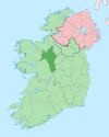
Villages and
Townlands- Arigna
- Athleague
- Ballintober
- Ballinlough
- Bellanagare
- Bellanamullia
- Ballyfarnon
- Ballyforan
- Ballyleague
- Castleplunket
- Cloonfad
- Cortober
- Croghan
- Drum
- Elphin
- Frenchpark
- Keadue
- Knockvicar
- Knockcroghery
- Lecarrow
- Loughglynn
- Rahara
- Roosky
- Strokestown
- Tarmonbarry
- Tulsk
- List of townlands in County Roscommon
- Category:Mountains and hills of County Roscommon
- Category:Rivers of County Roscommon
- Category:Geography of County Roscommon
Categories:- Towns and villages in County Roscommon


Wikimedia Foundation. 2010.