- Mandale, Ohio
-
Mandale, Ohio — Unincorporated community — Location of Mandale, Ohio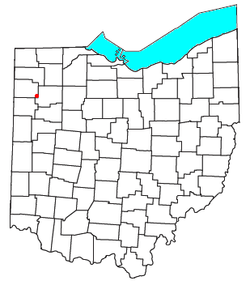
Coordinates: 41°01′05″N 84°21′36″W / 41.01806°N 84.36°WCoordinates: 41°01′05″N 84°21′36″W / 41.01806°N 84.36°W Country United States State Ohio County Paulding Township Washington Time zone Eastern (EST) (UTC-5) - Summer (DST) EDT (UTC-4) ZIP codes FIPS code GNIS feature ID Mandale is an unincorporated community in southeastern Washington Township, Paulding County, Ohio, United States. It lies at the intersection of State Routes 66 and 114.[1]
References
- ^ DeLorme. Ohio Atlas & Gazetteer. 5th ed. Yarmouth: DeLorme, 1999. ISBN 0-89933-233-1.
Municipalities and communities of Paulding County, Ohio County seat: Paulding Villages 
Townships Unincorporated
communitiesJunction | Mandale | New Rochester | Roselms
Footnotes ‡This populated place also has portions in an adjacent county or counties
Categories:- Northwest Ohio geography stubs
- Populated places in Paulding County, Ohio
- Unincorporated communities in Ohio


Wikimedia Foundation. 2010.