- Scenic Acres, Calgary
Infobox Settlement
official_name = Scenic Acres
other_name =
settlement_type = Neighbourhood
imagesize =
image_caption =
city_logo =
citylogo_size =
mapsize =
map_caption =
image_dot_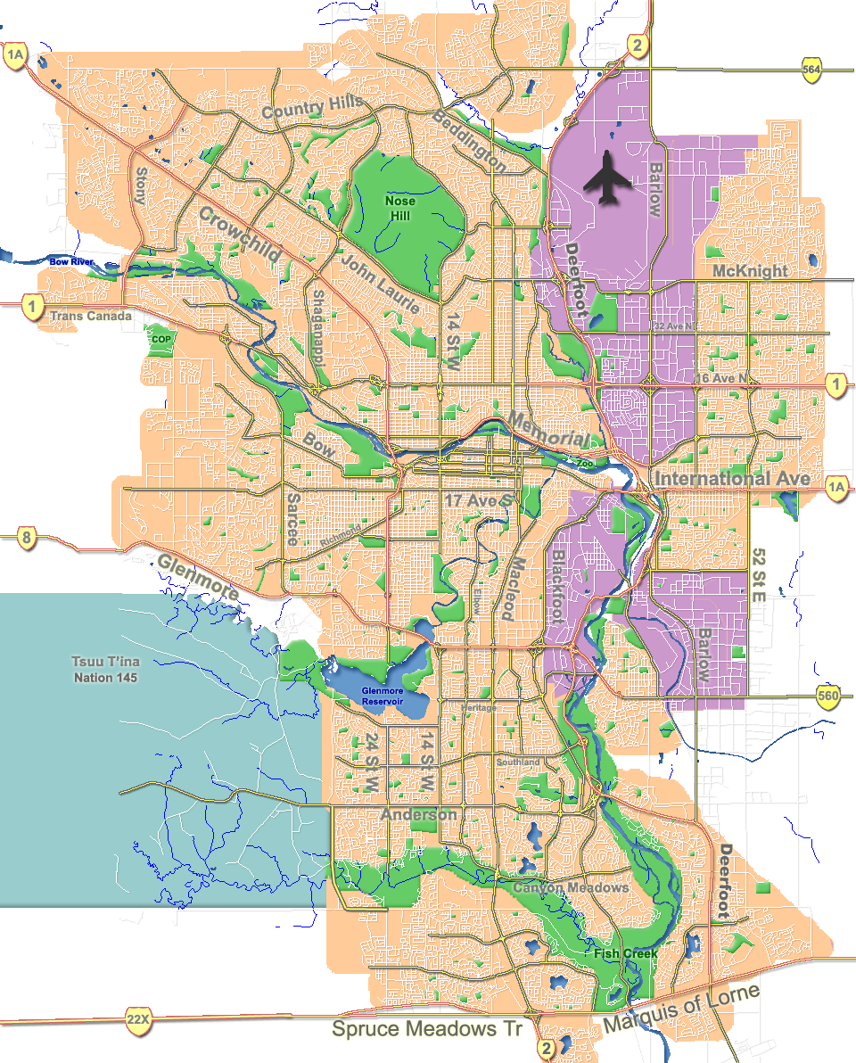
dot_mapsize = 225px
dot_map_caption = Location of Scenic Acres inCalgary
dot_x = 37|dot_y = 50
subdivision_type = Country
subdivision_name = CAN
subdivision_type1 = Province
subdivision_name1 = AB
subdivision_type2 = City
subdivision_name2 = flag|Calgary
subdivision_type3 = Quadrant
subdivision_name3 = NW
subdivision_type4 = Ward
subdivision_name4 = 1
government_footnotes =
government_type =
leader_title = Administrative body
leader_name =Calgary City Council
leader_title1 = Alderman
leader_name1 = Dale Hodges
leader_title2 =
leader_name2 =
established_title = Established
established_date = 1981
established_title2 = Annexed
established_date2 = 1961
area_magnitude =
area_footnotes =
area_total_km2 = 3.4
population_as_of = 2006
population_footnotes =
population_total = 9368
population_density_km2 =
population_blank1_title = Average Income
population_blank1 = $100156
timezone =
utc_offset =
latd= 51|latm= 07|lats= 10|latNS= N|longd= 114|longm= 12|longs= 53|longEW= W
elevation_footnotes =
elevation_m = 1180
postal_code_type =
postal_code =
area_code =
blank_name =
blank_info =
blank1_name =
blank1_info =
website = [http://www.calgaryarea.com/nw/scenicacres/scenicacres.htm Scenic Acres Community Association]
footnotes = Scenic Acres is a residential neighbourhood in the north-west quadrant ofCalgary ,Alberta . It is bounded to the north byCrowchild Trail , to the east by Nose Hill Drive, to the west byStoney Trail and to the south by Nose Hill Drive.The area was annexed by the City of Calgary in the 1960s, and the neighbourhood was established in 1981. It is represented in the
Calgary City Council by Ward 1Alderman Dale Hodges. [Cite web| author= Federation of Calgary Communities | url= http://www.calgaryarea.com/nw/scenicacres/scenicacres.htm |title= Scenic Acres Community| accessdate= 2007-05-11]Demographics
In 2006 the neighbourhood had a population of 9,368.Cite web| url=http://www.calgary.ca/DocGallery/BU/cityclerks/popcomparisonbycomm.pdf | author= City of Calgary | title= Community Population Comparison | year=2006 | accessdate= 2007-05-11] Residents in this community had a
median household income of $100,156 in 2000, and there were 4.3% low income residents living in the neighborhood.Cite web| url= http://www.calgary.ca/docgallery/bu/cns/community_social_statistics/ward_1_profile.pdf | title=Ward 1 Profile| author=City of Calgary| year=2004| accessdate= 2007-05-11] As of 2000, 17.5% of the residents wereimmigrant s. All buildings weresingle-family detached home s, and only 2.7% of the housing was used forrenting .Cite web| url= http://www.calgary.ca/docgallery/bu/cns/community_social_statistics/scenic_acres.pdf| title= Scenic Acres Community Statistics| author= City of Calgary | year= 2006 | accessdate= 2007-05-11]Crowfoot LRT Station
In late 2008, a LRT station called "Crowfoot Station" will be open serving the Scenic Acres Community and the Crowfoot Business Centre. This station will extend from Dalhousie Station and will have approximately 1,350 park and ride stalls. [ [http://www.calgary.ca/portal/server.pt/gateway/PTARGS_0_0_395_203_0_47/http%3B/content.calgary.ca/CCA/City+Hall/Business+Units/Transportation+Infrastructure/Construction+Projects/LRT/Northwest+LRT+Extensions/Northwest+LRT+Extension.htm The City of Calgary: Northwest LRT Extension ] ]
Education
The community is served by Monsignor E.L. Doyle Elementary (catholic) and Scenic Acres
public school .ee also
*
List of neighbourhoods in Calgary References
External links
* [http://www.calgarycommunities.com/communities/scenicacres.php Scenic Acres Community Association]
Canadian City Geographic Location (8-way)
Northwest =

Wikimedia Foundation. 2010.