- Scarboro, Calgary
Infobox Settlement
official_name = Scarboro
other_name =
settlement_type = Neighbourhood
imagesize =
image_caption =
city_logo =
citylogo_size =
mapsize =
map_caption =
image_dot_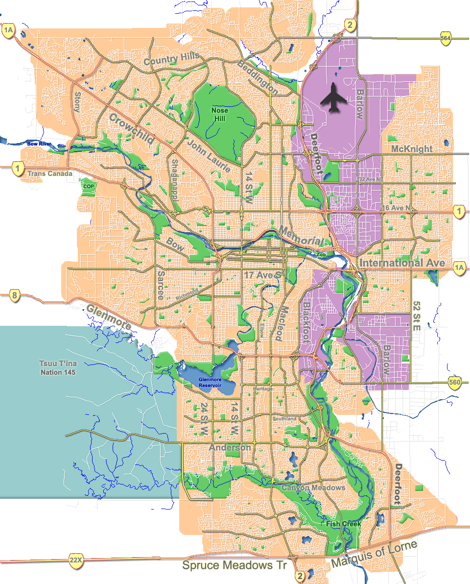
dot_mapsize = 250px
dot_map_caption = Location of Scarboro inCalgary
dot_x = 120|dot_y = 134
subdivision_type = Country
subdivision_name = CAN
subdivision_type1 = Province
subdivision_name1 = AB
subdivision_type2 = City
subdivision_name2 = flag|Calgary
subdivision_type3 = Quadrant
subdivision_name3 = SW
subdivision_type4 = Ward
subdivision_name4 = 8
government_footnotes =
government_type =
leader_title = Administrative body
leader_name =Calgary City Council
leader_title1 =Alderman
leader_name1 =John Mar
leader_title2 = MLA
leader_name2 =Kent Hehr
leader_title3 = MP
leader_name3 = Lee Richardson
established_title = Established
established_date = 1910
established_title2 =
established_date2 =
area_magnitude =
area_footnotes =
area_total_km2 =
population_as_of = 2006
population_footnotes =
population_total = 1328
population_density_km2 =
population_blank1_title = Average Income
population_blank1 = $79948
timezone =
utc_offset =
latd= 51|latm= 02|lats= 20|latNS= N|longd= 114|longm= 06|longs= 29|longEW= W
elevation_footnotes =
elevation_m = 1085
postal_code_type = Postal code
postal_code = T3C
area_code =
blank_name =
blank_info =
blank1_name =
blank1_info =
website = [http://www.calgarycommunities.com/communities/scarboro.php Scarboro Community Association]
footnotes = Scarboro is a residential neighborhood in the south-west quadrant ofCalgary ,Alberta . It is located in theinner city , between Bow Trail, 24th Street West, 14th St West and 17 Avenue South. The community is bisected by theCrowchild Trail freeway.The community consists of Scarboro proper, located on "Scarboro Hill", consisting mostly of detached homes, and "Upper Scarboro" (officially called "Scarboro/Sunalta West"Cite web| url= http://www.calgary.ca/docgallery/bu/cns/community_social_statistics/scarboro_sunalta_west.pdf| title= Scarboro/Sunalta West Community Statistics| author= City of Calgary | year= 2006 | accessdate= 2007-05-09] ) which consists of the remaining small residential area west of Crowchild Trail.
Demographics
In 2006, the neighbourhood had a population of 941, with an additional 387 living in "Sunalta West". [Cite web| url=http://www.calgary.ca/DocGallery/BU/cityclerks/popcomparisonbycomm.pdf | author= City of Calgary |title= Community Population Comparison | year=2006 | accessdate= 2007-04-30] It is represented in the
Calgary City Council by Ward 8Alderman John Mar [Cite web| url= http://www.calgaryarea.com/sw/scarboro/scarboro.htm | title= Scarboro | author= Federation of Calgary Communities| accessdate= 2007-05-03] , on a provincial level byCalgary Buffalo MLAKent Hehr , and at federal level byCalgary Centre MP Lee Richardson.Scarboro is a well established and relatively wealthy neighborhood, with the
median household income of $79,948 (2000), and 7.5%low-income residents.Cite web| url= http://www.calgary.ca/docgallery/bu/cns/community_social_statistics/ward_8_profile.pdf | title=Ward 8 Profile| author=City of Calgary| year=2004| accessdate= 2007-05-09] As of 2000, 20.6% of the residents wereimmigrant s. While the City of Calgary profile on Scarboro details a proportion of 27.3% of the buildings werecondominium s orapartment s, and 29.5% of the housing was used forrenting , the actual neighbourhood consists of approximately 365 single family dwellings. All are zoned R-1 and there are no multifamily residences or condominiums or apartments within Scarboro..Cite web| url= http://www.calgary.ca/docgallery/bu/cns/community_social_statistics/scarboro.pdf| title= Scarboro Community Statistics| author= City of Calgary | year= 2006 | accessdate= 2007-05-09]Education
The community is served by Sunalta Elementary
public school .ee also
*
List of neighbourhoods in Calgary References
Canadian City Geographic Location (8-way)
Northwest =Bow River
North =

Wikimedia Foundation. 2010.