Lorelei (disambiguation) — Lorelei or Loreley may refer to:*Lorelei, a rock in the Rhine River, a serious hazard for shipping and subject of many legends, poems, and songs. *165 Loreley, an asteroid *Lorelei (comics) is the name of three fictional characters in the Marvel… … Wikipedia
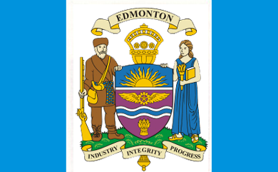
Edmonton — This article is about the capital of Alberta. For other uses, see Edmonton (disambiguation). Edmonton City City of Edmonton … Wikipedia
Edmonton—St. Albert — Infobox Canada electoral district province = Alberta Edmonton federal electoral districts map| caption = Edmonton St. Albert in relation to other federal electoral districts in Edmonton fed status = active fed district number = 48015 fed created … Wikipedia
List of neighbourhoods in Edmonton — Map of Edmonton and adjoining St. Albert and Sherwood Park This is a list of residential neighbourhoods in Edmonton, Alberta, Canada. Unlike the category list, neighbourhoods are grouped geographically so that, to a greater or lesser degree, a… … Wikipedia
Dunluce, Edmonton — Dunluce is a residential neighbourhood located in the Castledowns area of north Edmonton, Alberta, Canada. It is named for a castle in Northern Ireland.[1] The Castledowns Recreation Centre is located at the south east corner of the neighborhood … Wikipedia
Eaux Claires, Edmonton — Eaux Claires is a residential neighbourhood located in north east Edmonton, Alberta, Canada. It is bounded on the north by 167 Avenue, on the west by 97 Street, and on the south by 153 Avenue. The east boundary runs along a line located between… … Wikipedia
Downtown Edmonton — Coordinates: 53°32′25″N 113°29′54″W / 53.54028°N 113.49833°W / 53.54028; 113.49833 Downtown Edmonton … Wikipedia
Duggan, Edmonton — Location of Duggan in Edmonton Duggan is … Wikipedia
Dickinsfield, Edmonton — This article is about Dickinsfield and the neighbourhoods of Evansdale and Northmount in Edmonton. For other uses of Evansdale, see Evansdale. For other uses of Northmount, see Northmount (disambiguation). Dickinsfield is bounded on the south by… … Wikipedia
Crestwood, Edmonton — This article is about an Edmonton, Canada, neighbourhood. For other uses, see Crestwood. Crestwood is a residential neighbourhood in west Edmonton, Alberta, Canada overlooking the North Saskatchewan River valley and nestled between two ravines.… … Wikipedia