- Övertorneå
Infobox Settlement
official_name = Övertorneå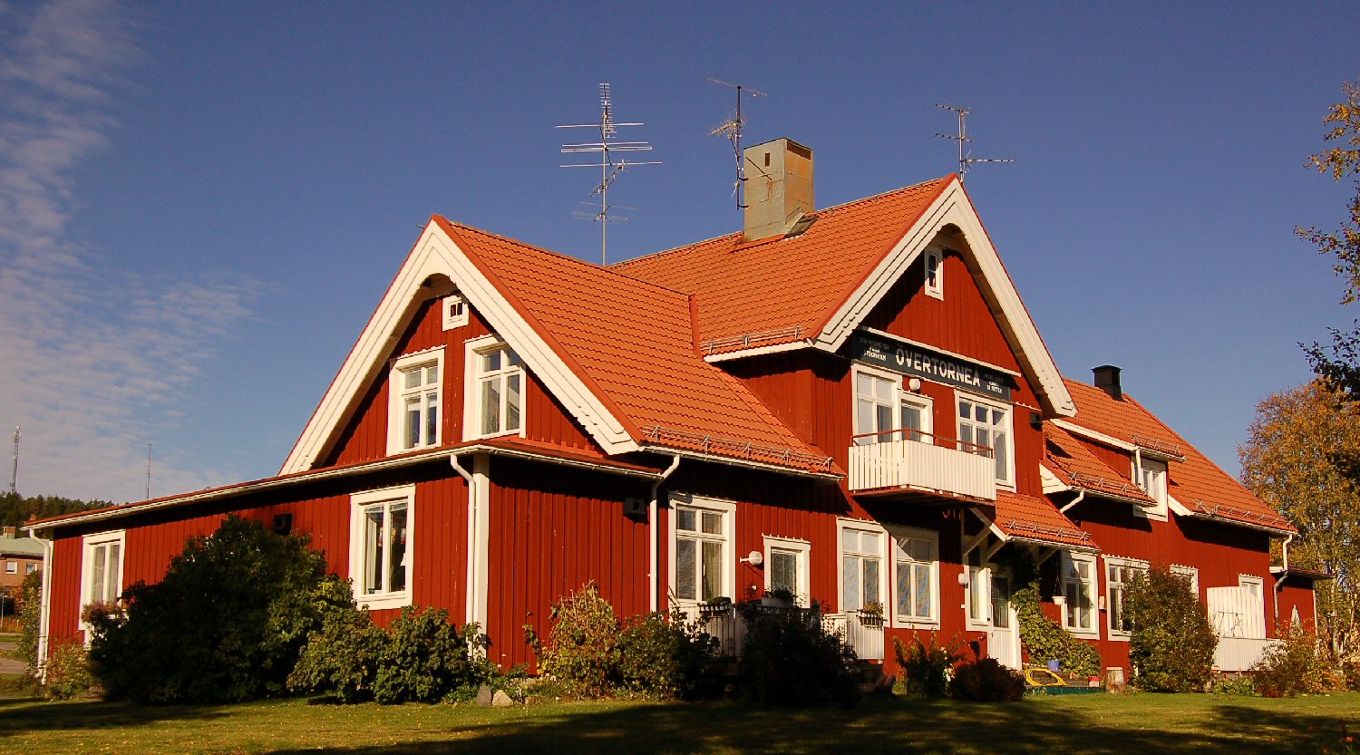
image_caption = Övertorneå railway station
pushpin_
subdivision_type = Country
subdivision_name =Sweden
subdivision_type1 = Municipality
subdivision_name1 =Övertorneå Municipality
subdivision_type2 = County
subdivision_name2 =Norrbotten County
subdivision_type3 = Province
subdivision_name3 =Norrbotten
established_title3 =
established_date3 =
area_footnotes = cite web |title=Tätorternas landareal, folkmängd och invånare per km2 2000 och 2005 |publisher=Statistics Sweden |url=http://www.scb.se/statistik/MI/MI0810/2005A01B/T%E4torternami0810tab1.xls |format=xls |language=Swedish |accessdate=2008-05-15]
area_total_km2 = 2.68
population_as_of = 2005-12-31
population_footnotes =
population_total = 1,965
population_density_km2 = 732
timezone = CET
utc_offset = +1
timezone_DST = CEST
utc_offset_DST = +2
latd=66 |latm=23 |lats= |latNS=N
longd=23 |longm=40 |longs= |longEW=E
website =Övertorneå (
Meänkieli name: "Matarengi", Finnish name: "Matarenki") is a town (pop. 2,000) in Norrbotten, Sweden and the seat ofÖvertorneå Municipality , Norrbotten County.It is located at the shore of the
Torne River , opposite toYlitornio (Övertorneå is Swedish version of Ylitornio). Until the border between Sweden andFinland was drawn at the Torne River in 1809, the two villages on separate sides on the river were one.References

Wikimedia Foundation. 2010.