- Chandpur Sadar Upazila
-
Chandpur Sadar
চাঁদপুর সদর— Upazila — Location in Bangladesh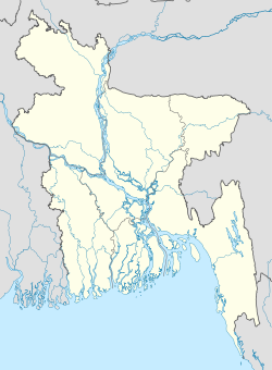
 Chandpur Sadar
Coordinates: 23°12.8′N 90°38.2′E / 23.2133°N 90.6367°ECoordinates: 23°12.8′N 90°38.2′E / 23.2133°N 90.6367°E Country  Bangladesh
Division Chittagong Division District Chandpur District Area - Total 308.78 km2 (119.2 sq mi) Population (2001) - Total 436,680 - Density 1,414.2/km2 (3,662.8/sq mi) Time zone BST (UTC+6) Website Official Map of Chandpur Sadar Chandpur Sadar (Bengali: চাঁদপুর সদর) is an Upazila of the Chandpur District in the Division of Chittagong, Bangladesh. It is mainly reputed for its famous hilsha fish, which are caught by the local fishermen from the nearby Meghna river.
Contents
Demographics
As of the 2001 Bangladesh census,[1] Chandpur Sadar had 85062 households and a population of 436680 of which 49.84% are female. It had an average literacy rate of 57.12%.
The old 1991 census[2] states a population of 396872 of which only 49.28% were more than 18 years of age, 47.75% were female, and 40.1% literate.
Administrative
Chandpur Sadar has 18 Unions/Wards, 187 Mauzas/Mahallas, and 114 villages.
See also
References
- ^ Bangladesh Burueau of Statistics
- ^ "Population Census Wing, BBS.". Archived from the original on 2005-03-27. http://web.archive.org/web/20050327072826/http://www.bangladeshgov.org/mop/ndb/arpc91_v1/tables04.htm. Retrieved November 10, 2006.
 Upazilas of the Chittagong Division
Capital: Chittagong Bandarban District 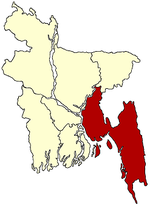
Brahmanbaria District Chandpur District Chittagong District Anwara · Banshkhali · Boalkhali · Chandanaish · Fatikchhari · Hathazari · Lohagara · Mirsharai · Patiya · Rangunia · Raozan · Sandwhip · Satkania · SitakundaComilla District Barura · Brahmanpura · Burichong · Chandina · Chauddagram · Daudkandi · Debidewer · Homna · Comilla Sadar Adarsha · Comilla Sadar South · Laksam · Muradnagar · Nangalkot · Titas · Meghna · MonoharganjCox's Bazar District Feni District Khagrachari District Dighinala · Khagrachhari · Lakshmichhari · Mahalchhari · Manikchhari · Matiranga · Panchhari · RamgarhLakshmipur District Noakhali District Begumganj · Chatkhil · Companiganj · Hatiya · Kabir Hat · Noakhali · Senbagh · Sonaimuri · SubarnacharRangamati District Bagaichhari · Barkal · Kawkhali · Belaichhari · Kaptai · Juraichhari · Langadu · Mannerchar · Rajasthali · RangamatiCategories:- Upazilas of Chandpur District
- Chittagong Division geography stubs


Wikimedia Foundation. 2010.