- Aosta Airport
-
Aosta Airport
(Corrado Gex Airport)
Aeroporto regionale della Valle d'Aosta "Corrado Gex"
Aéroport régional de la Vallée d'Aoste "Corrado Gex"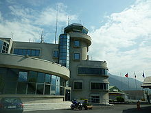
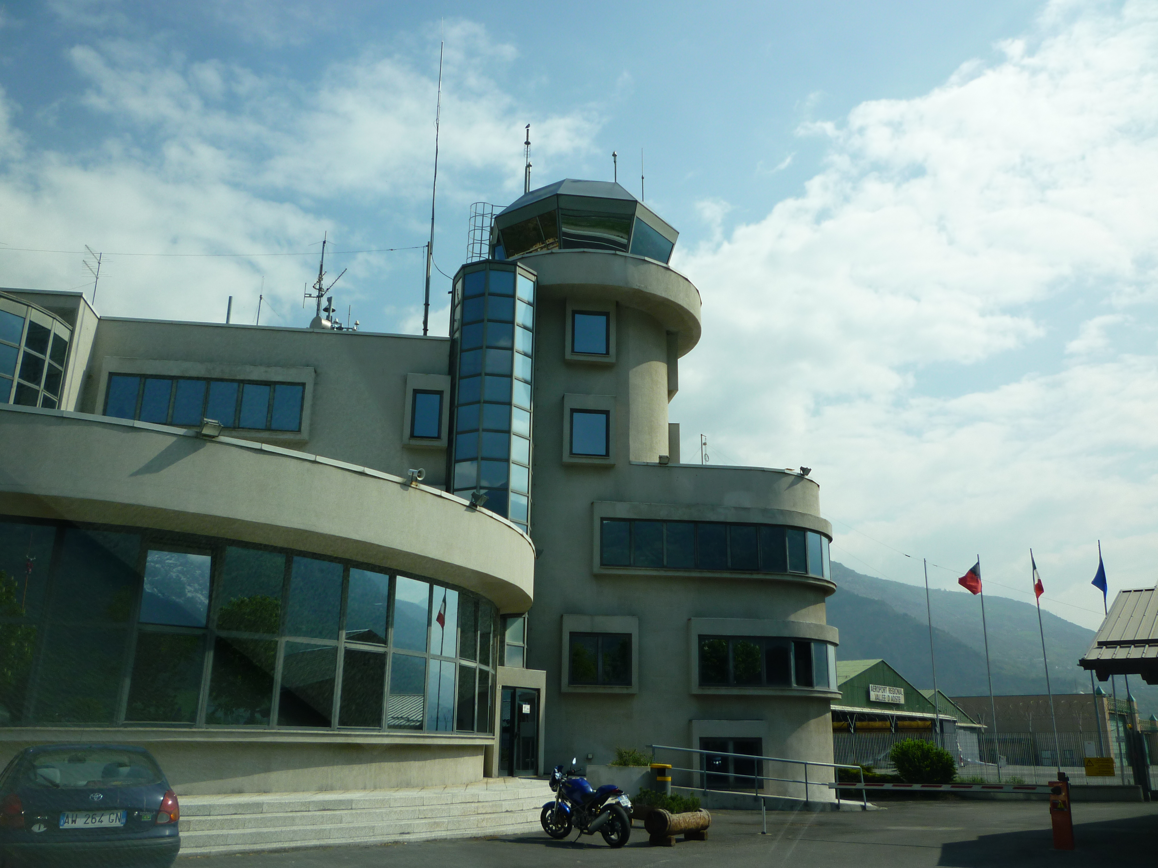
IATA: AOT – ICAO: LIMW Summary Airport type Public Operator Government Serves Aosta Location Saint-Christophe, Italy Elevation AMSL 1,791 ft / 546 m Coordinates 45°44′18″N 007°22′07″E / 45.73833°N 7.36861°E Runways Direction Length Surface m ft 09/27 1,499 4,916 Asphalt Sources: airport web site[1] and DAFIF[2][3] Aosta Airport or Corrado Gex Airport (Italian: Aeroporto regionale della Valle d'Aosta, French: Aéroport régional de la Vallée d'Aoste) (IATA: AOT, ICAO: LIMW) is an airport serving Aosta, a city in the Aosta Valley region of Italy.
Air Vallée previously had its head office on the property of Aosta Airport.[4]
Airlines and destinations
Airlines Destinations Air Vallée Angers [5] References
- ^ Official site in English
- ^ Airport information for LIMW at World Aero Data. Data current as of October 2006.Source: DAFIF.
- ^ Airport information for AOT at Great Circle Mapper. Source: DAFIF (effective Oct. 2006).
- ^ "World Airline Directory." Flight International. 20-26 March 2001. 72.
- ^ http://www.airvallee.it/timeTableweb.aspx?lang=en
External links
- (French) (Italian) (English) Official site
- Accident history for AOT at Aviation Safety Network

This article about transport in Italy is a stub. You can help Wikipedia by expanding it.