- Methul, New South Wales
-
Methul
New South Wales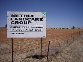
Methul is red soil wheat country in the Riverina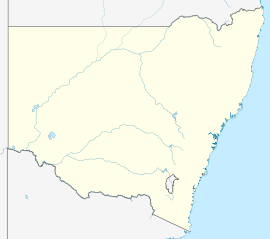
 Methul
Postcode: 2701 Coordinates: 34°36′0″S 147°9′0″E / 34.6°S 147.15°ECoordinates: 34°36′0″S 147°9′0″E / 34.6°S 147.15°E Elevation: 275 m (902 ft) Location: LGA: Coolamon Shire County: Cooper State District: Murrumbidgee Federal Division: Riverina Methul is a locality in the central north part of the Riverina region of south west New South Wales, Australia. It is situated by road, about 14 kilometres (8.7 mi) from Rannock and 34 kilometres (21 mi) south from Ariah Park.
Main Article: Local Government Areas of New South WalesCategories:- Towns in New South Wales
- Towns in the Riverina
- Riverina geography stubs


Wikimedia Foundation. 2010.