- Tumucumaque National Park
-
Tumucumaque National Park IUCN Category II (National Park)

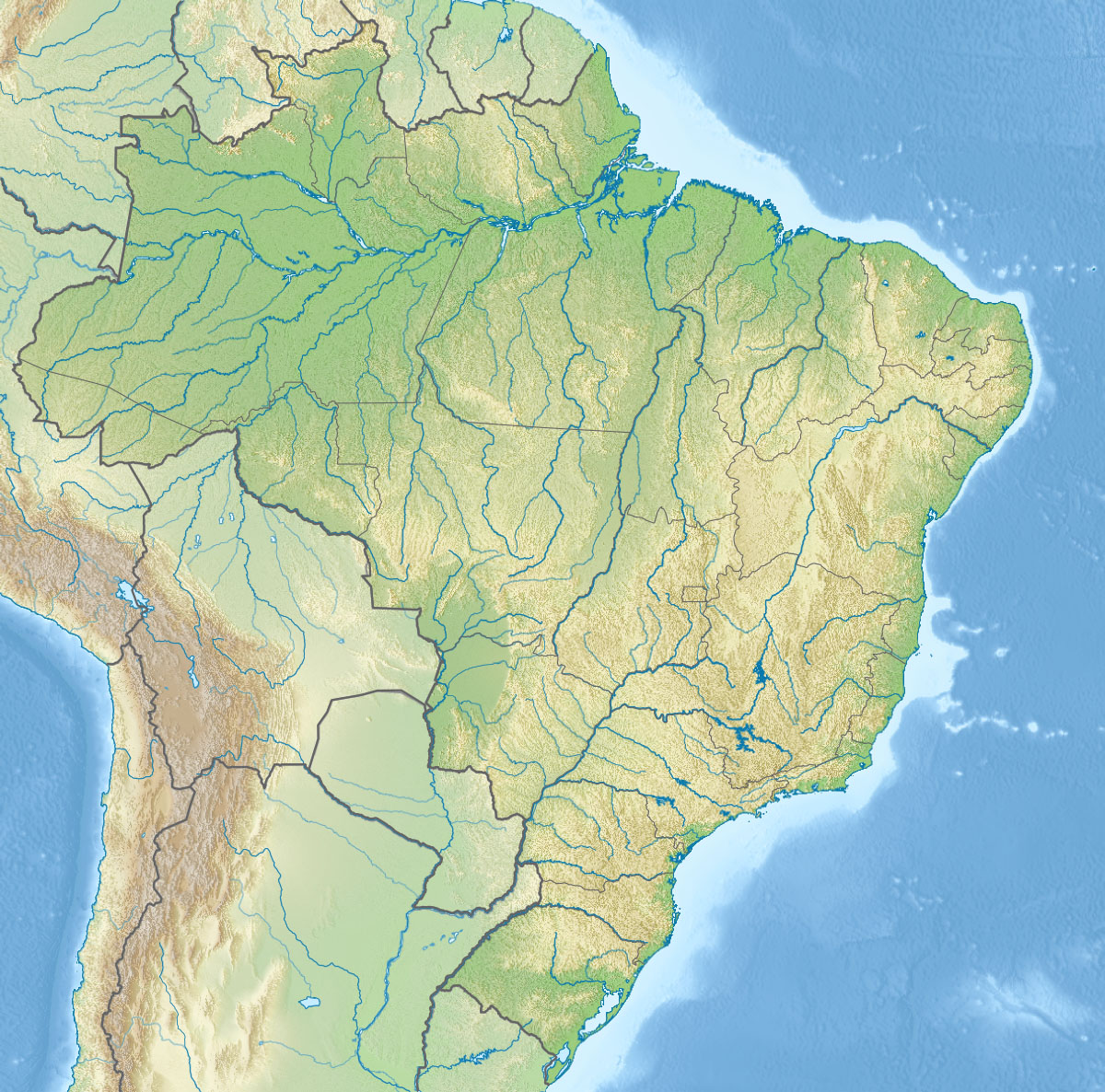
Location Amapá, Brazil Coordinates 1°50′N 54°0′W / 1.833°N 54°WCoordinates: 1°50′N 54°0′W / 1.833°N 54°W Area 38,874 km² / 9.56 million acres Established August 23, 2002 The Tumucumaque National Park (too-moo-koo-MAH-kay) is situated in northwestern Brazil inside the Amazon Rainforest state of Amapá. It’s bordered to the north by French Guyana and Suriname.
It was declared a national park on August 23, 2002, with the collaboration of Brazil's government and the WWF.
It has an area of 38,874 square kilometres (15,010 sq mi), making it the world's largest tropical forest national park and larger than Belgium. This area even reaches 59,174 square kilometres (22,850 sq mi) when putting the Tumucumaque National Park together with the bordering Guiana Amazonian Park, a national park in French Guiana. However, this is still smaller than the three national park systems in the Brazil-Venezuelan border, where the Parima-Tapirapeco, Serrania de la Neblina and Serra da Neblina national parks have a combined area of over 73,000 square kilometres (28,190 sq mi). It is an uninhabited region and is of high ecological value: most of its animal species, mainly fish and aquatic birds, are not found in any other place in the world. It is a habitat for jaguars, primates, aquatic turtles, eagles and the rare agouti.
The highest point of the Brazilian state of Amapá is located there, reaching 701 meters.[1]
Mozilla Firefox code-named the beta of Firefox 4 Tumucumaque.[2]
See also
- List of national parks of Brazil
- Geography of Brazil
- Guiana Amazonian Park
References
External links
- Amazon natives use Google Earth, GPS to protect rainforest home
- Conservation International - Mountains of Tumucumaque National Park: Setting a New Conservation Standard
Categories:- IUCN Category II
- National parks of Brazil
- Amapá
- Amapá geography stubs
- Brazilian protected area stubs

Wikimedia Foundation. 2010.