- Grey Highlands, Ontario
-
Grey Highlands — Township — 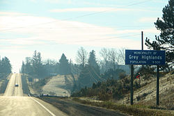
 Grey Highlands
Coordinates: 44°20′N 80°30′W / 44.333°N 80.5°WCoordinates: 44°20′N 80°30′W / 44.333°N 80.5°W Country  Canada
Province  Ontario
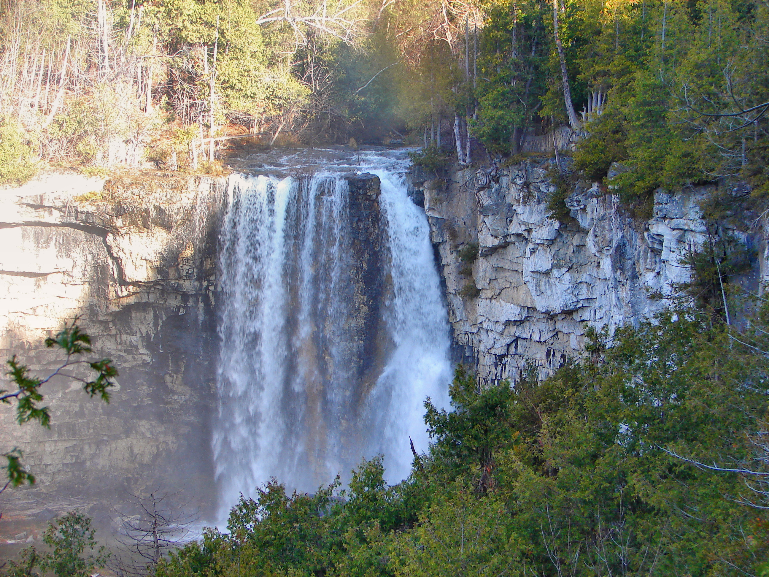
County Grey Settled Formed January 1, 2001 Government – Mayor Wayne Fitzgerald – Federal riding Bruce—Grey—Owen Sound – Prov. riding Bruce—Grey—Owen Sound Area[1] – Land 880.60 km2 (340 sq mi) Population (2006)[1] – Total 9,480 – Density 10.8/km2 (28/sq mi) Time zone EST (UTC-5) – Summer (DST) EDT (UTC-4) Postal Code N0C 1H0 Area code(s) 519 and 226 Website www.greyhighlands.ca  Eugenia Falls
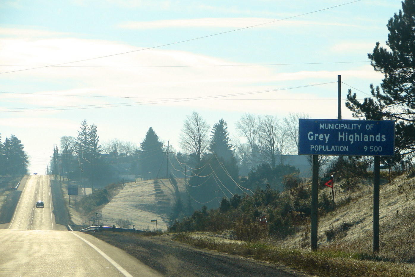
Grey Highlands is a municipality in the southeast corner of Grey County, Ontario, Canada that was formed on January 1, 2001 by the amalgamation of the village of Markdale and the townships of Artemesia, Euphrasia and Osprey, which included the unincorporated hamlets of Eugenia Ceylon, Maxwell, Singhampton, Priceville, Kimberley, and Feversham. The former village of Flesherton is also located within the municipality, having been amalgamated with Artemesia Township in 1998. According to the 2006 Census, the Municipality covers a land area of 880.6 square kilometres and has a population of 10,000.
Contents
Communities
- Eugenia
- Feversham
- Flesherton
- Kimberley
- Markdale
- Vandeleur
Geography
The dominant natural feature of the area is the Niagara Escarpment, which passes through the municipality and has several ancillary features:
- the Bruce Trail, a popular hiking and multi-use trail, follows the brow of the Escarpment.
- Beaver Valley, a steep-sided and broad valley, was created during the last ice age. The eastern side of the valley, as part of the Niagara Escarpment, was designated a UNESCO Biosphere reserve in 1990.[2] The west side of the valley is home to a number of downhill ski slopes.
- Eugenia Falls, where the Beaver River crosses the Niagara Escarpment, is the location of Grey County's only gold rush.[3]
Demographics
Population trend:[4]
- Population in 2006: 9480 (2001 to 2006 population change: 3.1 %)
- Population in 2001: 9196
- Population total in 1996: 8620
- Artemesia (township): 2881
- Euphrasia (township): 1513
- Flesherton (village): 625
- Markdale (village): 1354
- Osprey (township): 2247
- Population total in 1991: 7828
- Artemesia (township): 2538
- Euphrasia (township): 1427
- Flesherton (village): 543
- Markdale (village): 1370
- Osprey (township): 1950
Private dwellings occupied by usual residents: 3687 (total dwellings: 5142)
Education
Elementary students (Kindergarten to grade 8) are divided into three cachement areas:
- MacPhail Memorial Elementary School serves the Flesherton area.
- Osprey Central School serves the Maxwell and Feversham area.
- Beavercrest Community School serves the Markdale and surrounding area.
All of these students go to Grey Highlands Secondary School in Flesherton for Grades 9-12.
References
- ^ a b "Grey Highlands community profile". 2006 Census data. Statistics Canada. http://www12.statcan.gc.ca/census-recensement/2006/dp-pd/prof/92-591/details/page.cfm?Lang=E&Geo1=CSD&Code1=3542015&Geo2=PR&Code2=35&Data=Count&SearchText=Grey%20Highlands&SearchType=Begins&SearchPR=01&B1=All&Custom=. Retrieved 2011-01-20.
- ^ "List of Biosphere Reserves 2009". UNESCO. 2009. http://www.unesco.org/mab/doc/brs/BRList2009.pdf. Retrieved 2010-03-01.
- ^ "In 1852, when the country was very new and wild, somebody thought he had discovered gold in the rocks below the falls... One adventurous waggonmaker, from the County of York, happening to be in the region, made a rush with the rest to the diggings, and soon departed homeward, several days journey through woods and bushroads, with a backbreaking load in a bag... He got home, and before he slept kindled up his forge fire to melt down a little of the precious stuff... The sulphurious fumes and horrible stench of the vile stuff choked him, and well nigh drove him out of the premises. He had carried home a backload of worthless iron pyrites!"Smith, William Wye (1866). Gazetteer and Directory of the County of Grey for 1865-66. Toronto: Global Steam Press. http://freepages.genealogy.rootsweb.ancestry.com/~danddunne/Dand/maps/gazetteer.htm.
- ^ Statistics Canada: 1996, 2001, 2006 census
Resources
- Split Rail Country: A History of Artemesia Volume I now online
- Split Rail Country: A History of Artemesia Volume II 1985-2000 is presently being written

Meaford The Blue Mountains Chatsworth
West Grey
Clearview  Grey Highlands

Southgate, Melancthon Categories:- Municipalities in Grey County, Ontario
- Niagara Escarpment

Wikimedia Foundation. 2010.