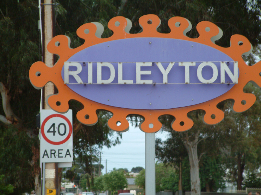
- Ridleyton, South Australia
Infobox Australian Place | type = suburb
name = Ridleyton
city = Adelaide
state = sa

caption = Gateway to Ridleyton Sign on Hawker Street
lga = City of Charles Sturt
postcode = 5008
est =
pop =
area =
propval =
stategov =
fedgov = Adelaide
near-nw =
near-n =
near-ne =
near-w =
near-e =
near-sw =
near-s =
near-se =
dist1 = 10
location1= AdelaideRidleyton is an inner northwestern suburb of
Adelaide , the capital ofSouth Australia , a state ofAustralia . It is located in theCity of Charles Sturt .This suburb has working class and industrial origins, but has been redeveloped recently to become a prime residential suburb only ten kilometres from the Adelaide Central Business District and less than five kilometres from wealthy and cosmopolitan North Adelaide.
Main Roads
The suburb is serviced by the following Main Roads:
*South Road, running North-South from the far north of Adelaide to the far south
*Torrens Road, running NorthWest-SouthEast to Pennington andNorth Adelaide
*Hawker Street, running NorthWest-SouthEast to terminating at South Road Croydon, to North AdelaidePostcode
The local post code is 5008
Parklands
Parks exist at the following locations
Corner of Hythe Street and Wood Avenue a small tree lined reserve about the size of two local blocks
Greenshields Reserve on Torrens Road Including Girl Guide Hall, public toilets, playground area and creek, with laneway to Wright Street
Commercial Districts
The Ridleyton Shopping Centre accessible from Hawker Street and South Road services many of the neighboring suburbs, it includes
*Foodland IGA Supermarket
*Local Vietnamese Family Bakery
*Family owned Newsagency
*Guardian Pharmacy
*Browse in and Save Discount StoreThere is adequate parking and hours of opening include some late night and seven days a week for most stores
The
BP on South Road houses the following services
*Fuel Sales for both large and small vehicles
*Car Wash
*Grocery Sales
*Wok in a Box: Asian foods
*Espresso CoffeeThe
McDonald's Family Restaurant on the Corner of South and Torrens Road
*Fast Food
*Playground
*McCafe
*Dine In, Takeaway and Drive ThroughThe
BWS Liquor Store on the corner of Hawker and South Road
*Beer, Wine and Spirits
*Large Variety of fine wine
*IcePublic Transport
Ridleyton is well serviced by public transport run by the [http://www.adelaidemetro.com.au/ Adelaide Metro ]
[http://www.adelaidemetro.com.au/ttsearch.php?action=search&searchtext=ridleyton&js=1 Adelaide Metro Search on Ridleyton]
Train
Although there is no stop in Ridleyton itself, the Outer Harbour Railway Line does run through Ridleyton. The closest station is Croydon.
* [http://www.adelaidemetro.com.au/routes/timetables/routemaps/Outer_Harbor_routemap.pdf Route Map for Outer Harbour Line]
* [http://www.adelaidemetro.com.au/routes/timetables/Outer_Harbor_ttable.pdf Complete Timetable for Outer Harbour Line]Nearby railway line is the Gawler Railway Line, with Ovingham as the nearest station
* [http://www.adelaidemetro.com.au/routes/timetables/routemaps/Gawler_routemap.pdf Route Map for Galwer Line]
* [http://www.adelaidemetro.com.au/routes/timetables/Gawler_ttable.pdf Complete Timetable for Galwer Line]Buses
*Hawker Street and South Road have the following bus numbers 251 252 253 and 254
*Torrens Road services include 231External links
[http://www.domain.com.au/Public/suburbprofile.aspx?mode=research&searchTerm=Ridleyton Demographics of Ridleyton from domain.com.au]
Wikimedia Foundation. 2010.
