- Brodské
Geobox|Settlement
name = Brodské
category = Village
etymology =
official_name =
motto =
nickname =
image_caption =
symbol =
symbol_type =
country = Slovakia
country_
state =
region = Trnava
district = Skalica
municipality =
landmark =
river =
location =
elevation = 159
prominence =
lat_d =48 | lat_m =41 | lat_s =40 | lat_NS =N
long_d =17 | long_m =00 | long_s =40 | long_EW =E
highest =
highest_location = | highest_region = | highest_state =
highest_elevation =
highest_lat_d = | highest_lat_m = | highest_lat_s = | highest_lat_NS =
highest_long_d = | highest_long_m = | highest_long_s = | highest_long_EW =
lowest =
lowest_location = | lowest_region = | lowest_state =
lowest_elevation =
lowest_lat_d = | lowest_lat_m = | lowest_lat_s = | lowest_lat_NS =
lowest_long_d = | lowest_long_m = | lowest_long_s = | lowest_long_EW =
length = | length_orientation =
width = | width_orientation =
area = 19.893
area_land =
area_water =
area_urban =
area_metro =
population =2372 | population_date = 31 December 2005
population_urban =
population_metro =
population_density = auto
population_density_urban =
population_density_metro =
established =1317
established_type = First mentioned
date =
government =
government_location = | government_region = | government_state =
government_elevation =
government_lat_d = | government_lat_m = | government_lat_s = | government_lat_NS =
government_long_d = | government_long_m = | government_long_s = | government_long_EW =
mayor =
leader =
timezone =
map_caption = Location of Brodské in Slovakia
map_background = Slovakia - background map.png
map1 =Trnava Region - outline map.svg
map1_caption = Location of Brodské in the Trnava Region
map1_background = Trnava Region - background map.png
map1_size = 160
commons =
statistics = [http://www.statistics.sk/mosmis/eng/prvav2.jsp?txtUroven420206&lstObec504271&Okruhzaklad MOŠ/MIS]
website = http://www.gbely.sk
footnotes =Brodské is a
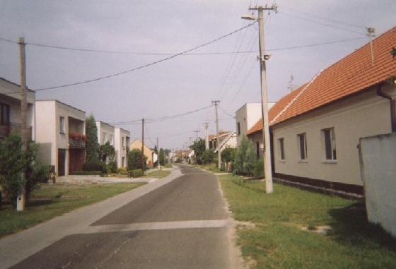
village andmunicipality inSkalica District in theTrnava Region of westernSlovakia .Brodské is a small village lying on the left side of the Morava river, which makes border with the Czech republic and Austria. In historical records the village was first mentioned in 1163. The population of Brodské is around 2370 inhabitants (2006).In the middle of the village there is a Roman Catholic church devoted to St. Anton abbot, council and post.
Geography
The
municipality lies at analtitude of 159 metres and covers anarea of 19.893km².External links
*http://www.statistics.sk/mosmis/eng/run.html


Wikimedia Foundation. 2010.