- Walcha Council
Infobox Australian Place | type = lga
name = Walcha Council
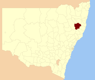
caption = Location inNew South Wales
state =New South Wales
region = New England
area = 6267
est =
seat = Walcha (2 Hamilton Street)cite web
title=Walcha Council
publisher = Department of Local Government
url = http://www.dlg.nsw.gov.au/dlg/dlghome/dlg_CouncilContactDetails.asp?slacode=7850
accessdate = 2006-12-03 ]
pop = 3,283 cite web
publisher =Australian Bureau of Statistics
title=Regional Population Growth, Australia, 2004-05
url = http://abs.gov.au/Ausstats/abs@.nsf/Latestproducts/3218.0Main%20Features22004-05?opendocument&tabname=Summary&prodno=3218.0&issue=2004-05&num=&view=
accessdate = 2006-12-03 ]
url = http://www.walcha.nsw.gov.au
mayor = Bill Heazlett
fedgov = New England
stategov = Northern Tablelands
near-nw= Uralla
near-w = Tamworth
near-sw= Upper Hunter
near-s = Muswellbrook
near-se= Greater Taree
near-e = Port Macquarie-Hastings
near-ne= Kempsey
near-n = ArmidaleWalcha Council is a Local Government Area (LGA) in the New England region of
New South Wales ,Australia . It is at the junction of theOxley Highway andThunderbolts Way and is 20 kilometres east of the Main North railway line passing throughWalcha Road .The Shire of Apsley was constituted by proclamation on 7 March 1906. It is in the counties of Vernon, Hawes, and Inglis and comprises about 60 parishes. The area is 1,605,590 acres. The Shire of Walcha was constituted by the Union of the Municipality and the Shire of Apsley as from on 1 Jun 1955.
Incomes
According to the [http://www.abs.gov.au Australian Bureau Statistics] [cite web
publisher =Australian Bureau of Statistics
title=Regional Wage and Salary Earner Statistics, Australia (catalogue no.: 5673.055.003)
url = http://abs.gov.au
accessdate = 2007-03-11 ] during 2003-04, there:- were 927 wage and salary earners (ranked 146th in New South Wales and 470th in Australia, less than 0.1% of both New South Wales's 2,558,415 and Australia's 7,831,856)
- was a total income of $27,787,248 (around $28 million) (ranked 147th in New South Wales and 478th in Australia, less than 0.1% of both New South Wales's $107,179,688,262 (around $107 billion) and Australia's $304,034,755,876 (around $304 billion))
- was an estimated
average income per wage and salary earner of $29,975 (ranked 153rd in New South Wales and 517th in Australia, 72% of New South Wales's $41,407 and 77% of Australia's $38,820)- was an estimated
median income per wage and salary earner of $27,590 (ranked 154th in New South Wales and 517th in Australia, 78% of New South Wales's $35,479 and 81% of Australia's $34,149).Main towns/villages
The towns and villages of Walcha Council include Walcha,
Walcha Road, Niangala, Nowendoc and Woolbrook. Settlements include: Brackendale, Yarrowitch and Tia.References
*Walcha 100 years of Local Government, Walcha Shire Council, Newprint Industries, Walcha, 1989
Wikimedia Foundation. 2010.