- Manchac, Louisiana
-
Town of Manchac Town Country United States State Louisiana Parish Tangipahoa Elevation 3 ft (0.9 m) Coordinates 30°17′30″N 90°24′07″W / 30.29167°N 90.40194°W Timezone CST (UTC-6) - summer (DST) CDT (UTC-5) Area code 985 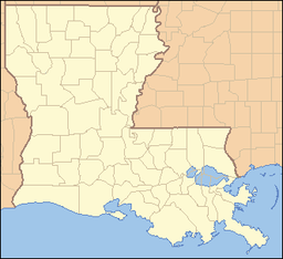
 Location of Manchac in Louisiana
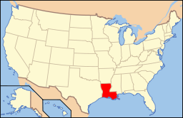 Location of Louisiana in the United States
Manchac is a small unincorporated community in Tangipahoa Parish, Louisiana, United States. It is part of the Hammond Micropolitan Statistical Area.
Manchac is located on Lake Maurepas on the Pass Manchac waterway, which connects to Lake Pontchartrain. It is home to the ruins of one of the five lighthouses set up for Lake Pontchartrain. The existing lighthouse (the fourth on the site) was completed in 1857. It was automated in 1941, and the dwelling was razed in 1952; the Coast Guard decommissioned the light and abandoned the property in 1987.[1]
Manchac is known for fishing, duck hunting, seafood restaurants like Middendorf's, and swamp tours. It is also home to the Port Manchac Distribution Center, with storage facilities and rail, truck, and water links to the east, west, and north. Interstate 55 has exit and entrance ramps for Manchac.
Fort Bute or Manchac Post, named for the British Prime Minister, was established in 1763 at the junction of Iberville River (Bayou Manchac) with the Mississippi River, and remained an important British military and trading post in West Florida until captured by Spanish forces under Bernardo Galvez of Louisiana on September 7, 1779, during what became known as Battle of Fort Bute of the American Revolutionary War. Manchac was raided in February 1778 by American forces under the command of James Willing[2] -- see related articles Continental Marines and USS Morris (1778).
References
- ^ Lighthousefriends.com: Pass Manchac, LA, http://www.lighthousefriends.com/light.asp?ID=809, accessed 1 Jun 2010.
- ^ Arthur H. DeRosier, Jr.: William Dunbar: scientific pioneer of the old Southwest, University Press of Kentucky, Lexington, Ky., 2007, pp. 39-44; http://books.google.com/books?id=KZfyps0cPvsC&pg=PA39&lpg=PA39&dq=Manchac+%22James+Willing%22&source=bl&ots=CFIDLuKAw9&sig=_FSxyb_wD5wzSWnBK74NCP-jq-8&hl=en&ei=Gv8ETLadHYnQM-u77Ts&sa=X&oi=book_result&ct=result&resnum=1&ved=0CBYQ6AEwAA#v=onepage&q=Manchac%20%22James%20Willing%22&f=false.
External links
Municipalities and communities of Tangipahoa Parish, Louisiana Parish seat: Amite City Cities 
Towns Villages CDP Unincorporated
communitiesBaptist | Loranger | Manchac | Robert
Categories:- Unincorporated communities in Louisiana
- Populated places in Tangipahoa Parish, Louisiana
- Louisiana geography stubs
- New Orleans, Louisiana stubs


Wikimedia Foundation. 2010.