- Ware River
Infobox River | river_name = Ware River
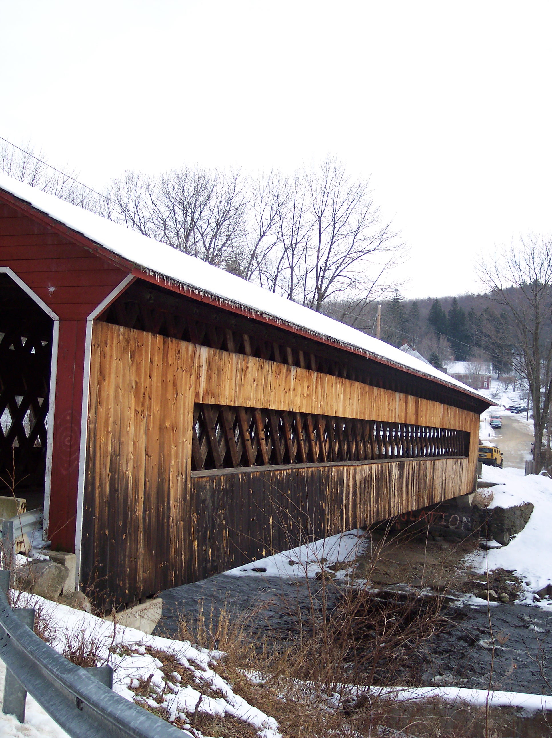
caption = Covered Bridge in Gilbertville
origin = Hubbardston
mouth = Three Rivers
basin_countries =
length = 36.7 mi (59.05 km)
elevation = 830 ft (253 m)
mouth_elevation= 290 ft (88.4 m)
discharge = 95 ft³/s (2.7 m³/s)
watershed = 96 mi² (248.6 km²)The Ware River is aMassachusetts river that has two forks, the longest of which (the east branch) begins nearHubbardston, Massachusetts , continues through the middle of the state, joins theQuaboag River , and ends inThree Rivers, Massachusetts , where it joins theChicopee River on its way to theConnecticut River . The Brigham Pond Dam, to form a pond of the same name, first impounds the east branch of the Ware River nearHubbardston, Massachusetts . The watershed north of Hubbardston feeds tributaries of the Ware and Millers Rivers, theMillers River running generally west, and the Ware River running generally south. This river is part of the Massachusetts Water Resource Authority (MWRA ) drinking water system serving the greater Boston area.History
The river was named for early fish weirs (locally pronounced). In 1928 the building of a 12.5-mile (20.1 km) long aqueduct connecting the Ware River to the
Wachusett Reservoir commenced, a major public works undertaking. The twelve-foot wide massive horseshoe shaped conduit, known as the Wachusett-Colebrook Tunnel, had to be blasted through solid rock at a depth of 200 feet (70 m). The arrival in 1931 of the first water from the Ware River by way of this tunnel probably saved theWachusett Reservoir from drying up, for a prolonged drought had reduced Wachusett’s water supply to less than 20 percent of capacity.In 1933 The
Quabbin Aqueduct is completed, ready to transport water from theQuabbin Reservoir under construction. The Swift River Diversion tunnel is in full use, bypassing water around the dam area.Topography
The Ware River starts at an elevation of about 830 ft (253 m)
MSL , fed from the numerous small streams within its watershed, before ending at the town of Three Rivers at an elevation of about 290 ft (88.4 m) MSL. The river flows through many historic mill towns where its fall towards the sea provided power. One of the largest such towns isWare, Massachusetts , which shares its name. This river is part of theChicopee River Watershed .Towns along the river
* Barre (South Barre, Barre Plains)
* Hardwick (Gilbertville, Old Furnace, Wheelwright)
* Hubbardston
* Ware
* Warren
* Palmer (Three Rivers)Information
The Ware River remains as a picturesque artifact of those bygone days when the mill towns used waterpower. However, its power still starts the natural siphon at the
Ware River Diversion in SouthBarre, Massachusetts . Its water also diverts for storage in theQuabbin Reservoir , using this same facility.ignificant structures
Barre Falls Dam
The
Barre Falls Dam is located on the Ware River inHubbardston, Massachusetts , about 0.3 mile (0.48 km) below the junction of the river's east and west branches and 13 miles (21 km) northwest ofWorcester, Massachusetts . Designed and constructed by theUnited States Army Corps of Engineers , this dam substantially reduces flooding along the Ware, Chicopee, and Connecticut rivers. Construction of the project began in May 1956 with completion in July 1958 at a cost of $2 million.The project consists of an earth fill dam with stone slope protection 885 feet (269.7 m) long and 69 feet (21 m) high. There are three dikes totaling 3,215 feet (5173 km) in length with a maximum elevation of 48 feet (14.63 m). Cut in rock, the spillway comprises a concrete weir 60 ft. in length. The weir's crest elevation is 23 feet lower than the top of the dam. There is no lake at the Barre Falls Dam. The flood storage area for the project, which is normally empty, stores floodwaters and covers about 1,500 acres in the towns of Barre, Hubbardston, Rutland, and Oakham, Massachusetts. The entire project, including all associated lands, covers 2,407 acres. The Barre Falls Dam can store up to 7.82 billion gallons of water for flood control purposes. This is equivalent to 8.2 inches (20.82 cm) of water covering its drainage area of 55 square miles (142.4 square kilometers).
The Barre Falls reservoir is located within the Upper Ware River Watershed. The Massachusetts Department of Conservation and Recreation (MDCR) manage and preserve the land for water quality protection. The Massachusetts Water Resources Authority (
MWRA ) manages these water resources, which are part of the public water supply for the metropolitanBoston area.Ware River Diversion
The
Ware River Diversion facility feeds Ware River water into theQuabbin Aqueduct . This is used to start a naturalsiphon so water can flow from the Quabbin to theWachusett Reservoir . It may also feed water to theWachusett Reservoir , or to theQuabbin Reservoir .References
*Gnis|619278|Ware River West Branch
*Gnis|609998|Ware River East Branch
* [http://waterdata.usgs.gov/nwis/inventory/?site_no=01172500 Ware River near Barre]
* [https://webcam.crrel.usace.army.mil/barre_plains/ Ware River Web Cam near Barre Plains]
* [https://webcam.crrel.usace.army.mil/barre_plains/images/Bp1camerajpeg.htm Ware River Web Cam archive]
* [http://www.warelibrary.org/johnson.htm Town of Ware on the Ware River]
* [http://ma.water.usgs.gov/basins/chicopeesfw.htm Chicopee River basin]
* [http://www.foquabbin.org/chronology.html History of the Quabbin Reservoir and Ware River development]
* [http://www.flickr.com/photos/joeforjette/255584947/ Ware River near Coldbrook]
* [http://home.manhattan.edu/~walter.matystik/wcb/2/files/boston.htm Court order and statement of facts about MWRA facilities]
* [http://www.mass.gov/dcr/waterSupply/watershed/warelmp.htm Ware River Watershed Land Management Plan]
Wikimedia Foundation. 2010.