- Černochov
-
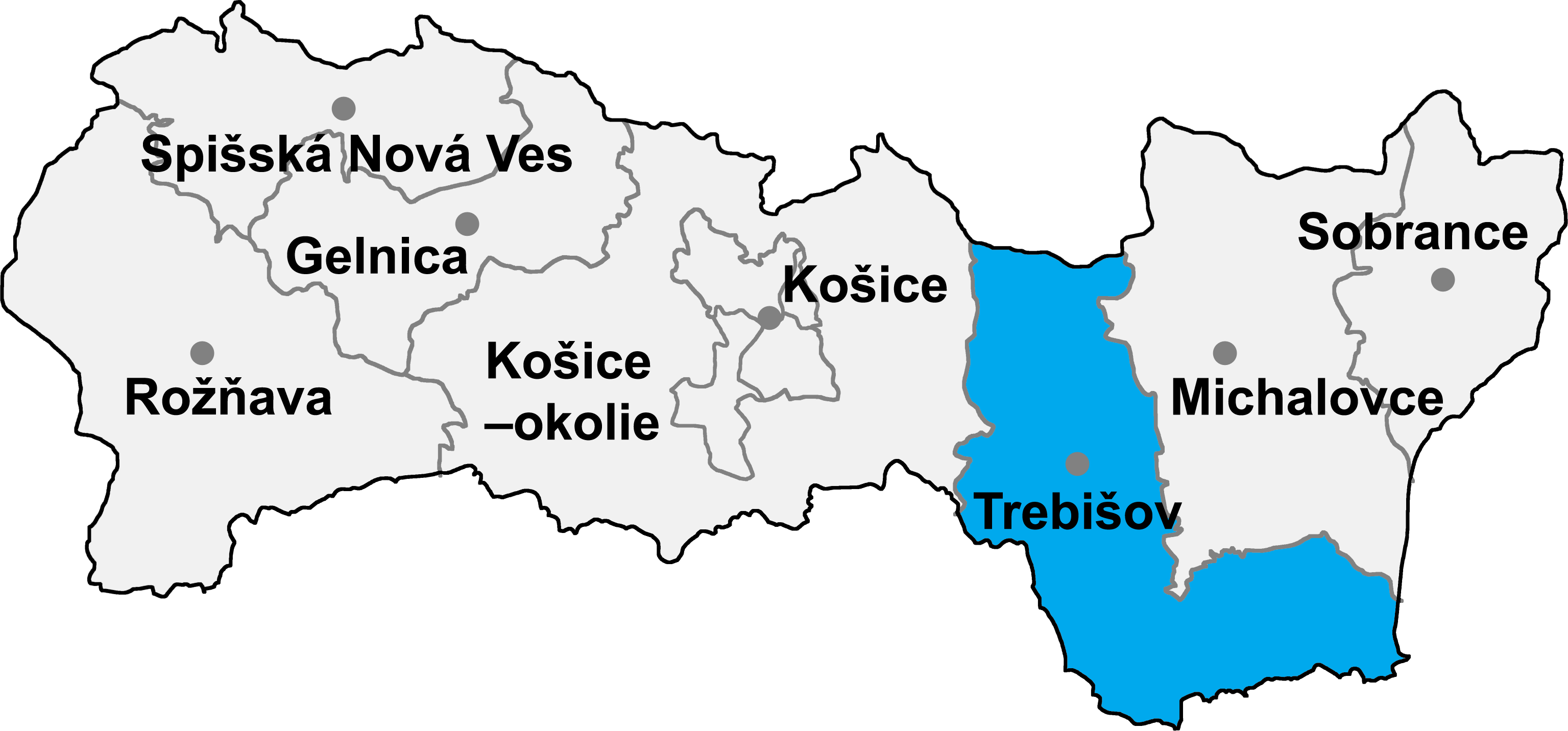
 Location of Trebišov District in the region.
Černochov (Hungarian: Csarnahó) is a village and municipality in the Trebišov District in the Košice Region of south-eastern Slovakia.
Contents
History
In historical records the village was first mentioned in 1298.
Geography
The village lies at an altitude of 175 metres and covers an area of 6.156 km². It has a population of 221 people.
Ethnicity
The village is about 78% Hungarian and 22% Slovak in ethnic origin.
Facilities
The village has a public library and a football pitch.
External links
Čierna nad Tisou • Kráľovský Chlmec • Sečovce • Trebišov
Bačka • Bačkov • Bara • Biel • Boľ • Borša • Boťany • Brehov • Brezina • Byšta • Cejkov • Čeľovce • Čerhov • Černochov • Čierna • Dargov • Dobrá • Dvorianky • Egreš • Hraň • Hrčeľ • Hriadky • Kašov • Kazimír • Klin nad Bodrogom • Kožuchov • Kravany • Kuzmice • Kysta • Ladmovce • Lastovce • Leles • Luhyňa • Malá Tŕňa • Malé Ozorovce • Malé Trakany • Malý Horeš • Malý Kamenec • Michaľany • Nižný Žipov • Novosad • Nový Ruskov • Parchovany • Plechotice • Poľany • Pribeník • Rad • Sirník • Slivník • Slovenské Nové Mesto • Soľnička • Somotor • Stanča • Stankovce • Strážne • Streda nad Bodrogom • Svätá Mária • Svätuše • Svinice • Trnávka • Veľaty • Veľká Tŕňa • Veľké Ozorovce • Veľké Trakany • Veľký Horeš • Veľký Kamenec • Viničky • Višňov • Vojčice • Vojka • Zatín • Zbehňov • Zemplín • Zemplínska Nová Ves • Zemplínska Teplica • Zemplínske Hradište • Zemplínske Jastrabie • Zemplínsky Branč
Coordinates: 48°26′N 21°44′E / 48.433°N 21.733°E
Categories:- Villages and municipalities in Trebišov District
- Trebišov District geography stubs
Wikimedia Foundation. 2010.