- Cheltenham, New South Wales
-
Cheltenham
Sydney, New South Wales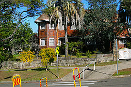
House opposite Cheltenham StationPopulation: 2,095 (2006) Postcode: 2119 Location: 21 km (13 mi) north-west of Sydney CBD LGA: Hornsby Shire State District: Epping Federal Division: Berowra Suburbs around Cheltenham: Beecroft Pennant Hills Pennant Hills Beecroft Cheltenham North Epping Carlingford Epping Epping Cheltenham is a suburb of Sydney, in the state of New South Wales, Australia. Cheltenham is located 21 kilometres north-west of the Sydney central business district in the local government area of Hornsby Shire. Cheltenham is considered to be part of the Northern Suburbs.
This residential suburb has a distinctive English atmosphere, with a number of 19th Century mansions on tree-lined streets. Cheltenham shares its postcode of 2119 with Beecroft and has sometimes been viewed as simply part of that suburb. Most residents of Cheltenham see themselves as distinct from Beecroft, although local issues are addressed together in the Beecroft Cheltenham Civic Trust.
Contents
History
Cheltenham, colloquially known as 'The Ham', takes its name from a house built by William Chorley, a Sydney tailor and men’s outfitter, who acquired the land when it was released from the Field of Mars Reserve. He named the house after his birthplace of Cheltenham, Gloucestershire, England. Chorley asked the government to build a station here and asked to name it after his property when it opened in 1898. Sutherland Road was named for John Sutherland, Minister for Public Works 1887-1889.[1]
Transport
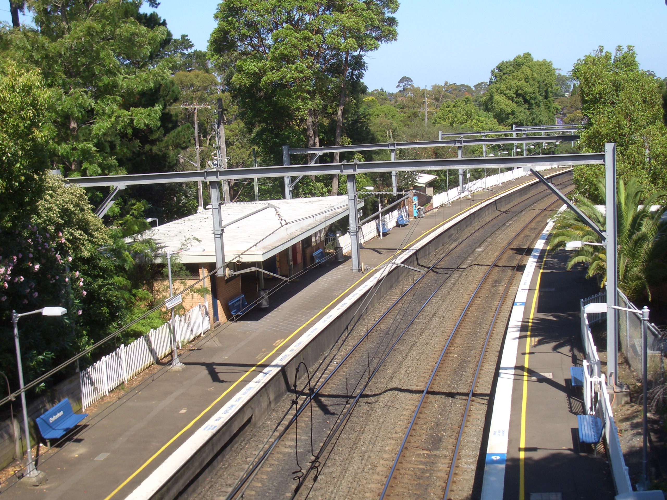
Cheltenham railway station is on the on Northern railway line of the CityRail network. It is one of the few stations with no surrounding business district, due to William Chorley placing covenants on the surrounding land.
The M2 Hills Motorway runs along the southern border of the suburb. For many years, Sutherland Road ran through both Beecroft and Cheltenham, and acted as a short cut between Beecroft Road and Epping Road. This road ran to the east of the Railway line and, during peak hour, was quite busy.With the opening of the M2 Hills Motorway in 1997, Sutherland Road was closed at the Devlins Creek bridge - where the M2 enters a tunnel under North Epping. The result of this closure is that the areas east of the railway line are now very quiet and the house values have benefitted.
-

Cheltenham station from the bridge on Cheltenham Road
-

Devlins Creek, in flood under the M2, looking to Sutherland Road
Schools
Cheltenham Girls' High School, a government school is located along Beecroft Road and The Promenade. Beecroft Public School and Arden Anglican School are primary schools in nearby Beecroft[citation needed].
Commercial area
From its early days, Cheltenham was almost exclusively a residential suburb with no shopping area developed at all in its planning. Residents of Cheltenham shop in Beecroft or Epping. A Service Station did exist along the western side of Beecroft road, but this was closed down in 1975.
Cheltenham has a Bowling Club and Ahimsa is the name of a Buddhist meditation retreat located next to Pennant Hills Park and can be accessed at the rear of Day Road and Cobran Road (both roads are cul-de-sacs).
References
- ^ The Book of Sydney Suburbs, Compiled by Frances Pollen, Angus & Robertson Publishers, 1990, Published in Australia ISBN 0-207-14495-8
- Ahimsa National Trust webpage
- Beecroft Cheltenham Civic Trust webpage
- Beecroft Cheltenham History Group Inc (1995). Beecroft and Cheltenham : The Shaping of a Sydney Community to 1914. ISBN 0-6462428-6-5. (295 pages) [1]
External links
- Cheltenham, New South Wales is at coordinates 33°45′30″S 151°04′32″E / 33.75839°S 151.07569°ECoordinates: 33°45′30″S 151°04′32″E / 33.75839°S 151.07569°E
[2] Cheltenham suburb profile @ domain.com.au
Suburbs within Hornsby Shire | North Shore | Hills District | Sydney Arcadia · Asquith · Beecroft · Berowra · Berowra Heights · Berowra Waters · Berrilee · Brooklyn · Canoelands · Carlingford · Castle Hill · Cheltenham · Cherrybrook · Cowan · Dural · Epping · Fiddletown · Forest Glen · Galston · Glenhaven · Glenorie · Hornsby · Hornsby Heights · Kangaroo Point · Laughtondale · Maroota · Middle Dural · Milsons Passage · Mount Colah · Mount Ku-ring-gai · Normanhurst · North Epping · Pennant Hills · Round Corner · Thornleigh · Wahroonga · Waitara · Westleigh · West Pennant Hills · Wisemans Ferry
List of Sydney suburbs Categories:- Suburbs of Sydney
-


Wikimedia Foundation. 2010.