Rib Mountain State Park

Rib Mountain State Park

Geobox|Protected area
name = Rib Mountain State Park
category = Wisconsin State Park
category_iucn = V


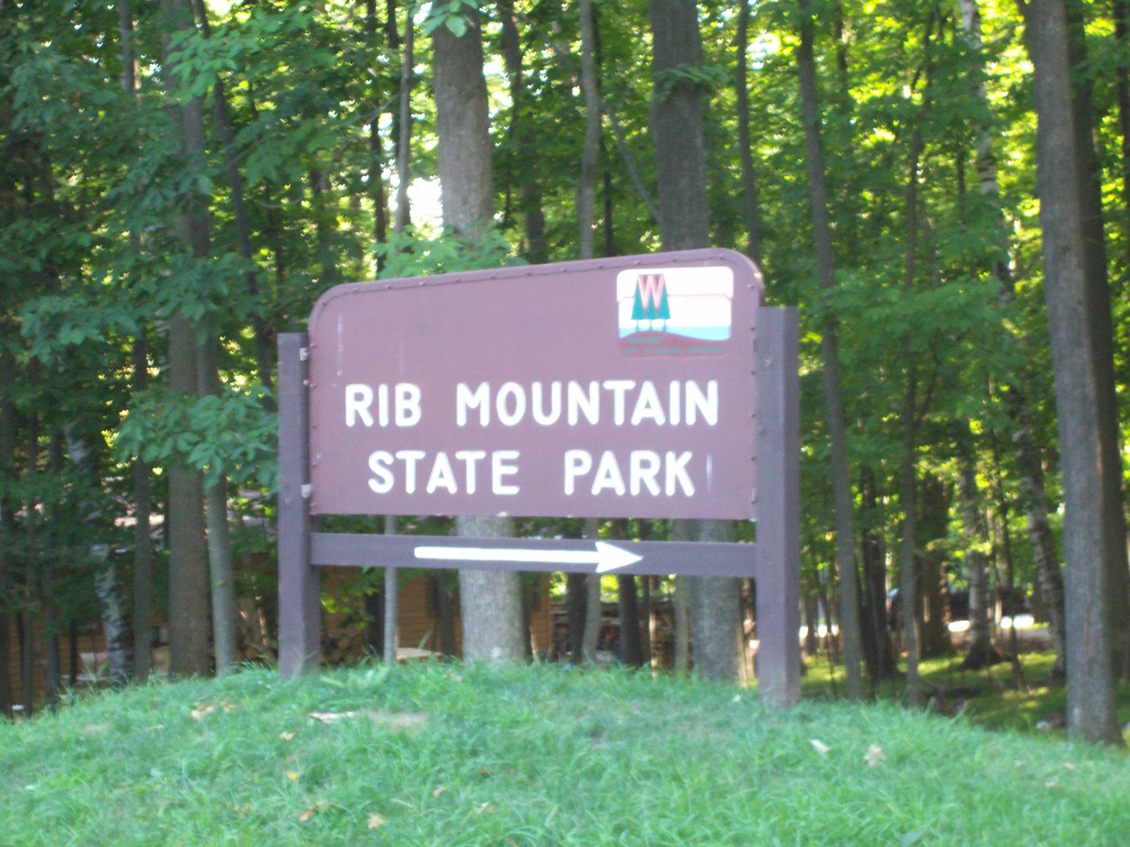
image_caption = Entrance sign.
country = United States
country_

state = Wisconsin
state_

state_type = State
region_type = County
region = Marathon
city_type = City
location = Wausau
lat_d = 44
lat_m = 55
lat_s = 6
lat_NS = N
long_d = 89
long_m = 41
long_s = 22
long_EW = W
area_unit = acre
area_imperial = 1528
area_round = 1
established = 1927
map_locator = Wisconsin


management_body =Wisconsin Department of Natural Resources

Rib Mountain State Park is a convert|1480|acre|km2|sing=on Wisconsin state park near the city of Wausau. The park includes a ski resort concession, Granite Peak Ski Area, and is ten miles (16 km) north-northwest of Central Wisconsin Airport.

ee also

*Rib Mountain

External links

* [http://www.dnr.state.wi.us/org/land/parks/specific/ribmt/ Rib Mountain State Park] official website
* [http://www.ribmountain.org/ The Friends of Rib Mountain State Park]


Wikimedia Foundation. 2010.

Игры ⚽ Нужен реферат?

Look at other dictionaries:

  • Rib Mountain — (also known as Rib Hill and currently Granite Peak) is a glacially eroded monadnock in central Wisconsin, located in the Town of Rib Mountain in Marathon County. Composed of quartzite covered with a softer syenite sheath, it was intruded about… …   Wikipedia

  • Rib Mountain — (aussi connu sous le nom de Rib Hill) est un inselberg émergeant suite à l érosion provoquée par un glacier dans le centre du Wisconsin. Il est situé dans la ville de Rib Mountain dans le Marathon County. Composé de quartzite recouvert d une fine …   Wikipédia en Français

  • Mirror Lake State Park — For the lake in Waupaca, Wisconsin, see Mirror Lake (Waupaca). Coordinates: 43°33′54″N 89°49′12″W / 43.565°N 89.82°W / …   Wikipedia

  • Mill Bluff State Park — Coordinates: 43°56′47″N 90°18′55″W / 43.94639°N 90.31528°W / 43.94639; 90.31528 …   Wikipedia

  • Copper Culture State Park — Oconto Site U.S. National Register of Historic Places U.S. National Historic Landmark …   Wikipedia

  • Council Grounds State Park — Coordinates: 45°11′7″N 89°44′35″W / 45.18528°N 89.74306°W / 45.18528; 89.74306 …   Wikipedia

  • Blue Mound State Park — IUCN Kategorie V Lage …   Deutsch Wikipedia

  • Copper Falls State Park — Coordinates: 46°22′35″N 90°38′36″W / 46.37639°N 90.64333°W / 46.37639; 90.64333 …   Wikipedia

  • Brunet Island State Park — IUCN Kategorie V La …   Deutsch Wikipedia

  • Nelson Dewey State Park — Coordinates: 42°43′51″N 91°1′10″W / 42.73083°N 91.01944°W / 42.73083; 91.01944 …   Wikipedia

Share the article and excerpts

Direct link
Do a right-click on the link above
and select “Copy Link”