- Ordubad (city)
-
Ordubad — City and Municipality — 
 Ordubad
Coordinates: 38°54′29″N 46°01′40″E / 38.90806°N 46.02778°ECoordinates: 38°54′29″N 46°01′40″E / 38.90806°N 46.02778°E Country  Azerbaijan
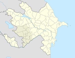
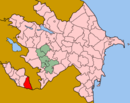
Autonomous republic Nakhchivan Rayon Ordubad Population (2008)[1] – Total 10,372 Time zone AZT (UTC+4) – Summer (DST) AZT (UTC+5) Ordubad (also, Ordoubat and Ordubat) is the second largest town and a municipality of the Nakhchivan Autonomous Republic of Azerbaijan. It is the capital of the Ordubad rayon.[citation needed] It has a population of 10,372.
The closest railway station is Ordubad and distance to Nakhchivan city is 88 km. Ordubad in its current capacity of a town was founded in the 18th century[2]. The town is divided into five districts:
- Ambaras
- Kurdtatal
- Mingis
- Sar sheher
- Uch
Contents
History
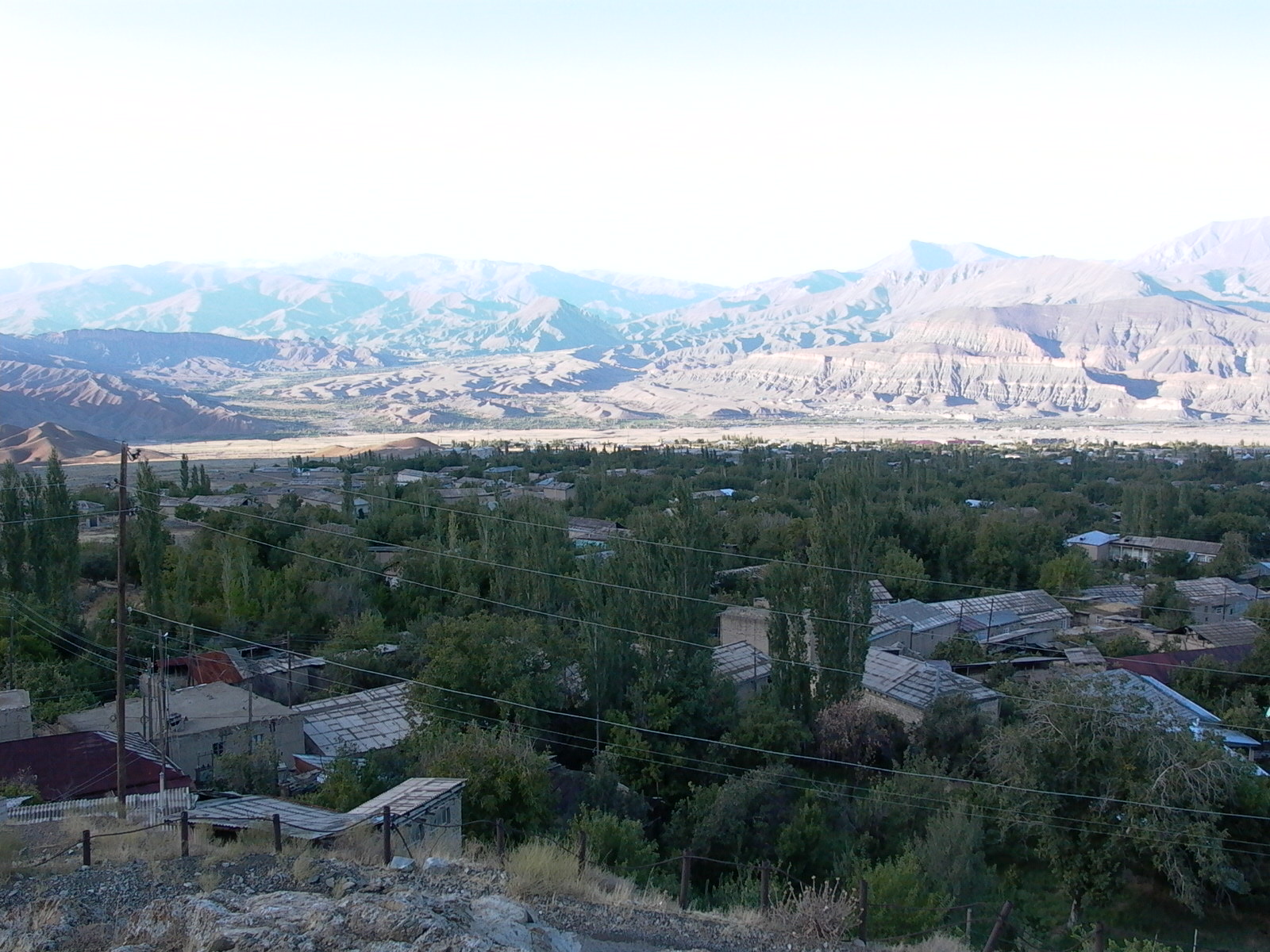
Ordubad was once an important regional stop on the Silk Road trade route. It thus contains unique architecture situated on both sides of the Ordubadchay River.
World Heritage Status
This site was added to the UNESCO World Heritage Tentative List on October 24, 2001 in the Cultural category[3].
Notable natives
- Ismail Ibrahimov — scientist, Hero of Socialist Labor[4].
- Mammed Said Ordubadi — writer[5].
- Najafgulu Rafiyev — Hero of the Soviet Union[6].
- Novruz Rizayev — People's Commissar of Internal Affairs of Azerbaijan SSR (1927-1929)[7].
- Victor Cherokov — Soviet military commander, Vice Admiral[8].
- Yusif Mamedaliyev — chemist, founder of petrochemical science in Azerbaijan[9].
References
- ^ World Gazetteer: Azerbaijan – World-Gazetteer.com
- ^ USSR: Administrative Territorial Division of the Union Republics, Moscow, 1977
- ^ Ordubad historical and architectural reserve - UNESCO World Heritage Centre Retrieved 2009-03-23.
- ^ "Ибрагимов Исмаил Али оглы". Heroes of the country. http://www.warheroes.ru/hero/hero.asp?Hero_id=12311.
- ^ "Ордубады Мамед Саид". Great Soviet Encyclopedia. http://gatchina3000.ru/big/084/889_bolshaya-sovetskaya.htm.
- ^ "Рафиев Наджафкули Раджабали оглы". Heroes of the country. http://www.warheroes.ru/hero/hero.asp?Hero_id=4536.
- ^ "Rizayev Novruz Kerim oglu". Minister of National Security Azerbaijan Republic. http://www.mns.gov.az/rzaevnorouz_en.html.
- ^ "Чероков Виктор Сергеевич". Great Soviet Encyclopedia. http://gatchina3000.ru/great-soviet-encyclopedia/bse/122/089.htm.
- ^ "член-корреспондент Юсиф Гейдарович Мамедалиев". Faculty of Chemistry, Moscow State University. http://www.chem.msu.su/rus/history/acad/mamedaliev.html.
External links
 Categories:
- Populated places in Ordubad Rayon
- Cultural Sites on the UNESCO World Heritage Tentative List
- Nakhchivan geography stubs


Wikimedia Foundation. 2010.