- Welshpool Airport
-
Welshpool Airport
Mid Wales AirportIATA: none – ICAO: EGCW Summary Airport type Private Operator Mid Wales Airport Ltd Location Welshpool Elevation AMSL 233 ft / 71 m Coordinates 52°37′46″N 003°09′09″W / 52.62944°N 3.1525°WCoordinates: 52°37′46″N 003°09′09″W / 52.62944°N 3.1525°W Map Location in Powys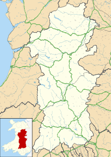
 EGCW
EGCWRunways Direction Length Surface m ft 04/22 1,020 3,346 Asphalt Sources: UK AIP at NATS[1] Welshpool Airport (ICAO: EGCW) (also known as Mid Wales Airport) is located 2 NM (3.7 km; 2.3 mi) south of Welshpool,[1] Powys, Wales.
Welshpool Aerodrome has a CAA Ordinary Licence (Number P865) that allows flights for the public transport of passengers or for flying instruction as authorised by the licensee (Mid Wales Airport Limited). The aerodrome is not licensed for night use.[2]
Welshpool airport is also used as a base by the Mid Wales Air Ambulance.
Some of the well known people who have flown in to this airport include Harrison Ford, Calista Flockhart, Richard Branson and Lembit Opik (who has his own pilot's licence).
The airport is always open to the public with pleasure flights and flying lessons available.
Runways
04/22 is 1,020 × 18 m (3,346 × 59 ft) and circuit height is 1,500 ft (460 m)
References
External links
Airports in Wales Aberporth · Anglesey · Caernarfon · Cardiff · Cardiff Heliport · Haverfordwest · Hawarden · Llanbedr · RAF Mona · Pembrey · MOD St Athan · Swansea · RAF Valley · Welshpool
Categories:- Airports in Wales
- United Kingdom airport stubs

Wikimedia Foundation. 2010.