- Dragoman marsh
-
Coordinates: 42°55′54″N 22°57′42″E / 42.93167°N 22.96167°E
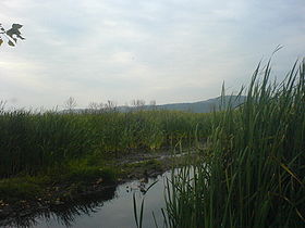

The Dragoman marsh is the biggest natural karst wetland in Bulgaria. It is situated only 35 km north-west from Sofia and covers a valley between the limestone hills Tri Ushi and Chepan.
The marsh is a protected territory and its most fascinating asset is its birds. Over 200 species have been recorded in the area. Some of them have a high conservation status.
The area is often visited by nature lovers and environmentalists, who use for free the facilities built there: a watch tower and an eco-route.
See also
- Aldomirovtsi marsh
Capital: Dragoman Villages Berende, Berende Izvor, Chekanets, Cheparlyantsi, Chorul, Chukovezer, Dolna Nevlya, Dolno Novo Selo, Dragoil, Dragoman, Dreatin, Gaber, Golemo Malovo, Gorno Selo, Gralska Padina, Kalotina, Kambelevtsi, Krusha, Letnitsa, Lipintsi, Malo Malovo, Nachevo, Nedelishte, Nesla, Novo Bardo, Prekraste, Rayanovtsi, Taban, Tsatsarovtsi, Tsraklevtsi, Vasilovtsi, Vishan, Vladislavtsi, Yalbotina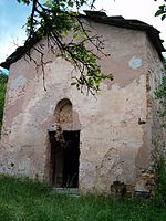
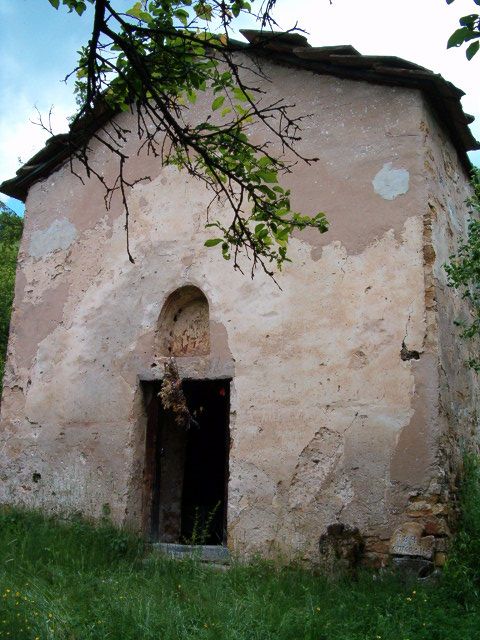
Landmarks Dragoman marsh, Church of St Peter, Berende, Church of St Nicholas, KalotinaCulture Notable people Categories:- Bulgaria geography stubs
- Landforms of Bulgaria
- Marshes of Bulgaria

Wikimedia Foundation. 2010.